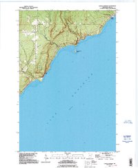
1992 Map of Castle Danger
USGS Topo · Published 1995About this map
The Lake Superior shoreline in Lake County, Minnesota, is dominated by the steep elevation changes of Silver Creek and the notable Silver Cliff promontory. Settlement patterns here are concentrated along the coast, specifically at Castle Danger and the small inland community of Silver Creek. The landscape reflects a mix of small-scale infrastructure and natural features, including a Cem near the township lines and a Landing Strip situated on the elevated plateau behind the shoreline cliffs.
Find a feature on this map
13 named features on this map. Tap any name to fly to it.
Don’t see what you’re looking for? This feature index may not catch every label — zoom into the map to look around manually.
Map Details
Editions of this 1992 Castle Danger Map
This is the sole edition of this map. No revisions or reprints were ever made.
Other maps of this area
1943 · Port Wing
USGS Topo · 1:48,000
1946 · Port Wing
USGS Topo · 1:48,000

1953 · Ashland
USGS Topo · 1:250,000
1954 · Two Harbors
USGS Topo · 1:250,000
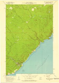
1956 · Split Rock Point
USGS Topo · 1:24,000
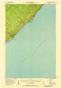
1956 · Split Rock Point
USGS Topo · 1:62,500
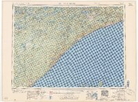
1957 · Two Harbors
USGS Topo · 1:250,000
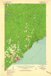
1957 · Two Harbors
USGS Topo · 1:62,500
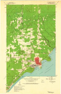
1957 · Two Harbors
USGS Topo · 1:24,000
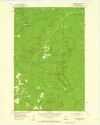
1957 · Two Harbors NE
USGS Topo · 1:24,000