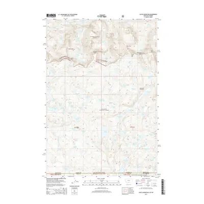
2014 Map of Castle Mountain
USGS Topo · Published 2014About this map
The high alpine environment of the Beartooth Mountains dominates this portion of the Montana-Wyoming border, where the convergence of three major national forests—Custer National Forest, Gallatin National Forest, and Shoshone National Forest—reflects a complex history of federal land management. This 2014 survey captures a landscape of extreme verticality, defined by prominent summits like Snowbank Mtn and Castle Mtn. The hydrological pattern is remarkably dense, characterized by glacial remnants such as Sundance Glacier and Snowbank Glacier, which feed a network of high-altitude water bodies including Vogel Lake, Martin Lake, and Desolation Lake. The steep drainages of Whirlpool Cr and E Rosebud Cr carve through the terrain, illustrating the geological forces that have shaped this wilderness area over millennia.
Find a feature on this map
100 named features on this map. Tap any name to fly to it.
Don’t see what you’re looking for? This feature index may not catch every label — zoom into the map to look around manually.
Map Details
Editions of this 2014 Castle Mountain Map
This is the sole edition of this map. No revisions or reprints were ever made.
Other maps of this area

1896 · Crandall Creek
USGS Topo · 1:125,000

1898 · Granite Mountain District
USGS Topo · 1:125,000

1899 · Crandall
USGS Topo · 1:125,000

1954 · Billings
USGS Topo · 1:250,000

1955 · Cody
USGS Topo · 1:250,000

1956 · Alpine
USGS Topo · 1:62,500

1956 · Beartooth Butte
USGS Topo · 1:62,500

1956 · Cooke City
USGS Topo · 1:62,500

1956 · Pilot Peak
USGS Topo · 1:62,500

1957 · Billings
USGS Topo · 1:250,000