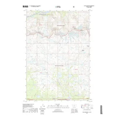
2020 Map of Castle Mountain
USGS Topo · Published 2020About this map
Custer National Forest and Gallatin National Forest meet at the high-altitude boundary of Montana and Wyoming on this 2020 map. The landscape is defined by the Beartooth Mountains and the sprawling Beartooth Plateau, where massive peaks like Castle Mtn and Sundance Mtn dominate the skyline. This area is a critical hydrological source, feeding the East Rosebud Creek Wild and Scenic River and a dense network of alpine water bodies, including Snowbank Lake, Big Butte Lake, and Otter Lake.
Find a feature on this map
94 named features on this map. Tap any name to fly to it.
Don’t see what you’re looking for? This feature index may not catch every label — zoom into the map to look around manually.
Map Details
Editions of this 2020 Castle Mountain Map
This is the sole edition of this map. No revisions or reprints were ever made.
Other maps of this area

1896 · Crandall Creek
USGS Topo · 1:125,000

1898 · Granite Mountain District
USGS Topo · 1:125,000

1899 · Crandall
USGS Topo · 1:125,000

1954 · Billings
USGS Topo · 1:250,000

1955 · Cody
USGS Topo · 1:250,000

1956 · Alpine
USGS Topo · 1:62,500

1956 · Beartooth Butte
USGS Topo · 1:62,500

1956 · Cooke City
USGS Topo · 1:62,500

1956 · Pilot Peak
USGS Topo · 1:62,500

1957 · Billings
USGS Topo · 1:250,000