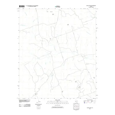
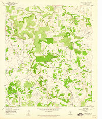
2010 Map of Castle Peak
USGS Topo · Published 2010About this map
Oneal Cemetery stands as a central historical marker in this landscape of the Texas Hill Country, situated near the headwaters of North Simms Creek. The terrain is defined by a series of distinct elevations and gaps, including Castle Peak and Payne Mountain, which overlook a network of seasonal drainages such as Bee Cave Creek and Kinchelo Creek. The map reveals a transition from these high points into more secluded areas like Horsethief Cove and Snipes Cove.
Find a feature on this map
34 named features on this map. Tap any name to fly to it.
Don’t see what you’re looking for? This feature index may not catch every label — zoom into the map to look around manually.
Map Details
Editions of this 2010 Castle Peak Map
This is the sole edition of this map. No revisions or reprints were ever made.
Other maps of this area

1887 · Lampasas
USGS Topo · 1:125,000

1894 · Lampasas
USGS Topo · 1:125,000

1954 · Brownwood
USGS Topo · 1:250,000

1954 · Evant
USGS Topo · 1:62,500

1954 · Lampasas
USGS Topo · 1:62,500

1954 · Evant
USGS Topo · 1:24,000
1954 · Flat Top Peak
USGS Topo · 1:24,000
1954 · Adamsville
USGS Topo · 1:24,000
1959 · Star
USGS Topo · 1:24,000
1959 · Antelope Gap
USGS Topo · 1:24,000