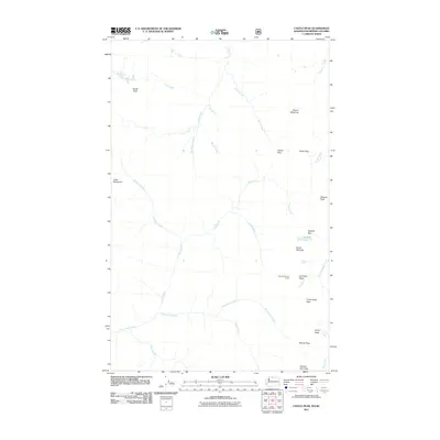
2011 Map of Castle Peak
USGS Topo · Published 2011About this map
Castle Peak and Mount Winthrop anchor this high-elevation backcountry in Whatcom County, where the topography is defined by the convergence of steep ridgelines and numerous glacial drainages. The area is a complex network of named passes and peaks, including Castle Pass, Frosty Pass, and Woody Pass, which serve as vital navigation points for those traversing the high country. The headwaters of several major waterways originate here, with Castle Fork and Three Fools Creek carving deep valleys through the massif.
Find a feature on this map
33 named features on this map. Tap any name to fly to it.
Don’t see what you’re looking for? This feature index may not catch every label — zoom into the map to look around manually.
Map Details
Editions of this 2011 Castle Peak Map
This is the sole edition of this map. No revisions or reprints were ever made.
Other maps of this area

1920 · Slate Pass
USGS Topo · 1:125,000

1955 · Concrete
USGS Topo · 1:250,000

1958 · Concrete
USGS Topo · 1:250,000

1962 · Concrete
USGS Topo · 1:250,000

1969 · Skagit Peak
USGS Topo · 1:24,000

1969 · Frosty Creek
USGS Topo · 1:24,000
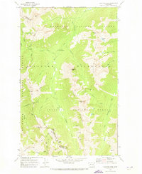
1969 · Pasayten Peak
USGS Topo · 1:24,000
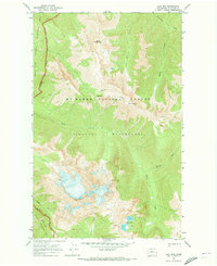
1969 · Jack Mtn
USGS Topo · 1:24,000
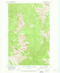
1969 · Shull Mtn.
USGS Topo · 1:24,000

2002 · Pasayten Peak
USGS Topo · 1:24,000