
1969 Map of Frosty Creek
USGS Topo · Published 1973About this map
The Pasayten Wilderness spans the high terrain of Okanogan National Forest along the international boundary between British Columbia and Washington. This 1969 field survey details a high-elevation landscape defined by deep drainages like Chuchuwanteen Creek and the Pasayten River. Human presence is marked by isolated outposts such as Chuchuwanteen Cabin and Brown Bear Camp, connected only by a network of Pack Trails. The Pacific Crest National Scenic Trail traverses the western edge of the sheet, while alpine features like The Parks and Lake of the Pines highlight the glaciated character of the northern Cascades. A small Landing Strip near the confluence of the river's forks illustrates the necessity of aerial access for managing this remote backcountry before the modern era of wilderness preservation.
Find a feature on this map
35 named features on this map. Tap any name to fly to it.
Don’t see what you’re looking for? This feature index may not catch every label — zoom into the map to look around manually.
Map Details
Editions of this 1969 Frosty Creek Map
This is the sole edition of this map. No revisions or reprints were ever made.
Other maps of this area

1920 · Slate Pass
USGS Topo · 1:125,000

1955 · Concrete
USGS Topo · 1:250,000

1958 · Concrete
USGS Topo · 1:250,000

1962 · Concrete
USGS Topo · 1:250,000
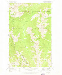
1969 · Pasayten Peak
USGS Topo · 1:24,000

1969 · Tatoosh Buttes
USGS Topo · 1:24,000
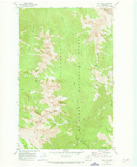
1969 · Shull Mtn.
USGS Topo · 1:24,000
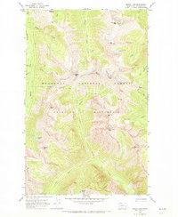
1969 · Mount Lago
USGS Topo · 1:24,000
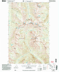
2002 · Mount Lago
USGS Topo · 1:24,000

2002 · Pasayten Peak
USGS Topo · 1:24,000