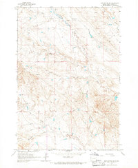
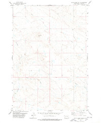
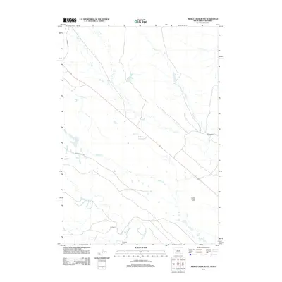
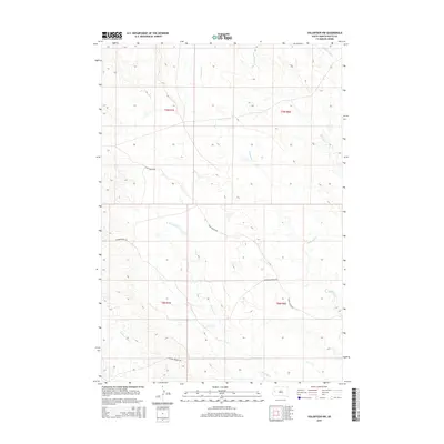
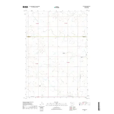
2021 Map of Castle Rock
USGS Topo · Published 2021About this map
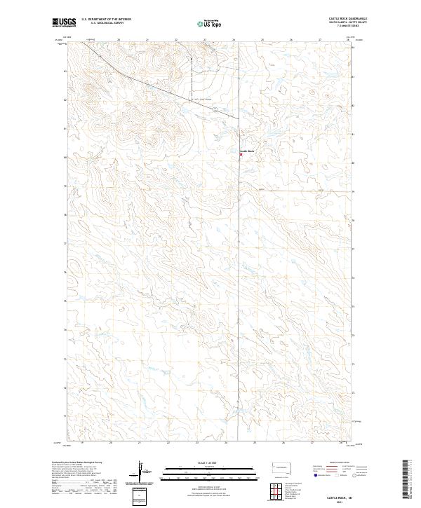
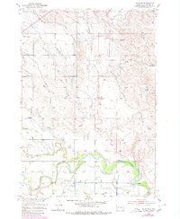
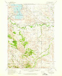
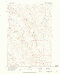
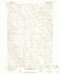
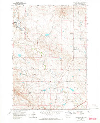
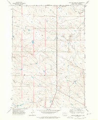
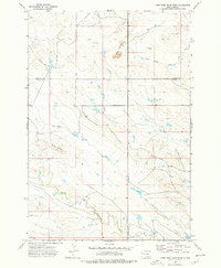
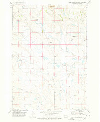
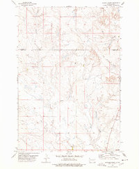
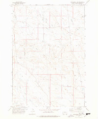
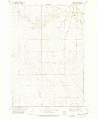
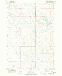
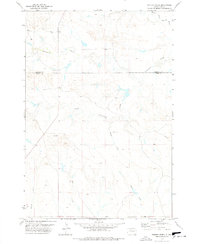
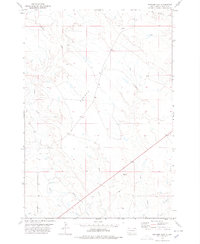
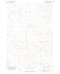
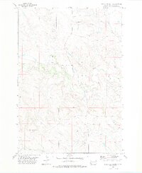
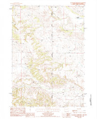
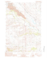
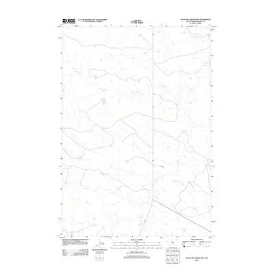
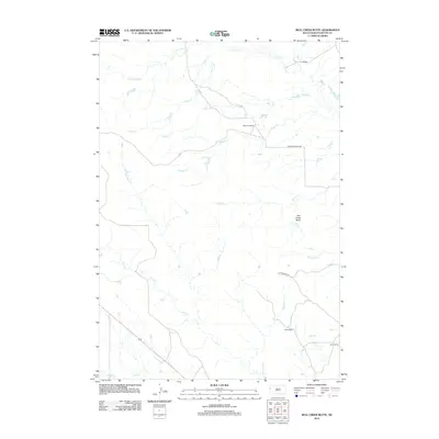
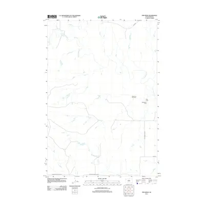
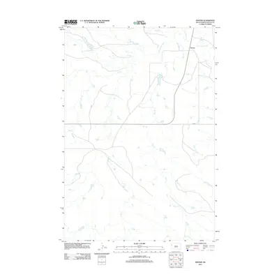
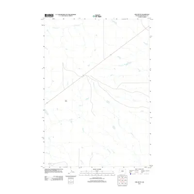
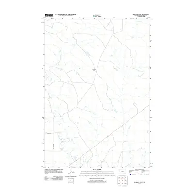
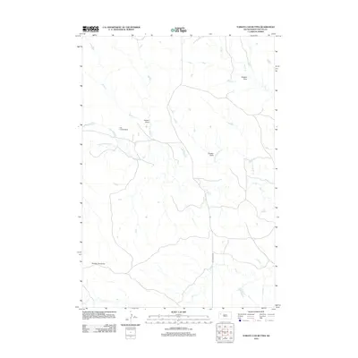
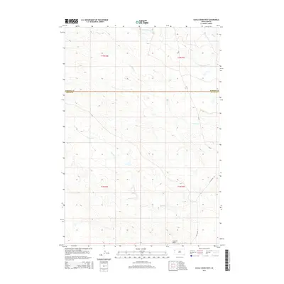
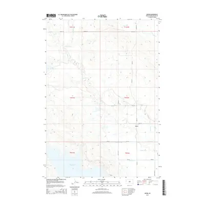
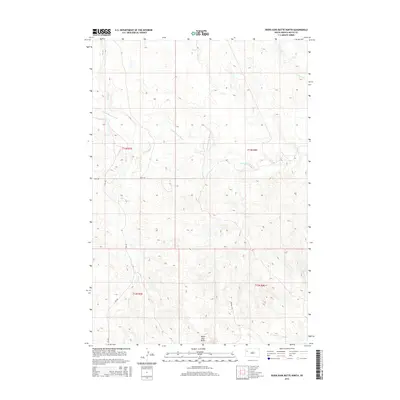
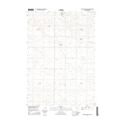
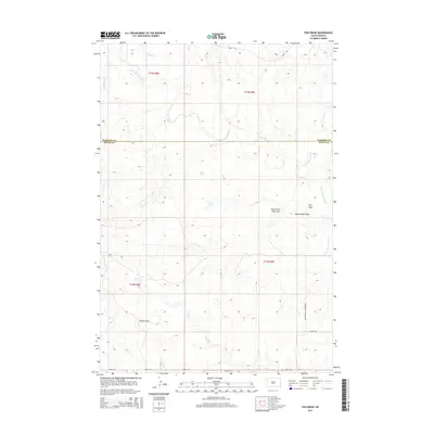
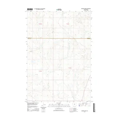
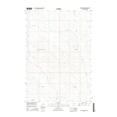
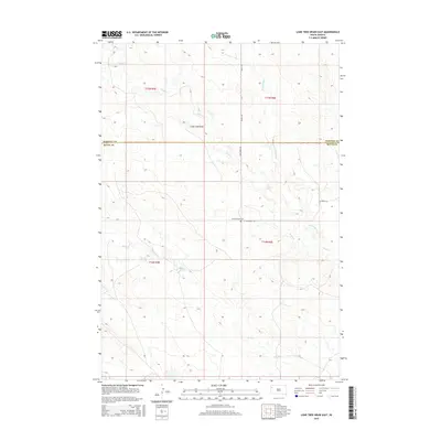
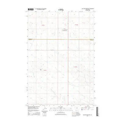
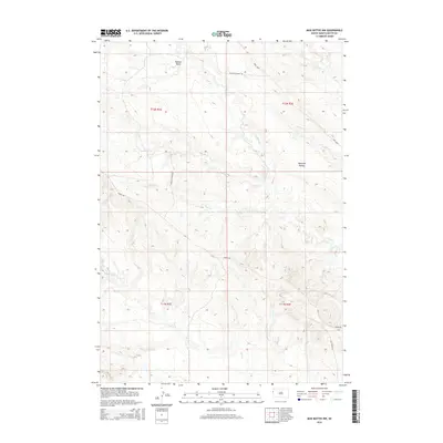
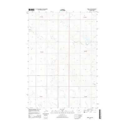
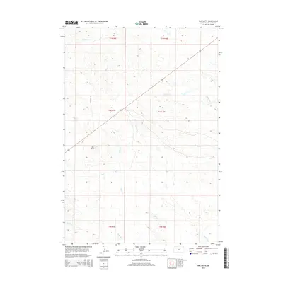
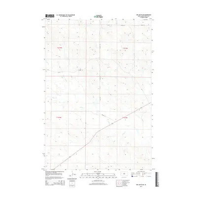
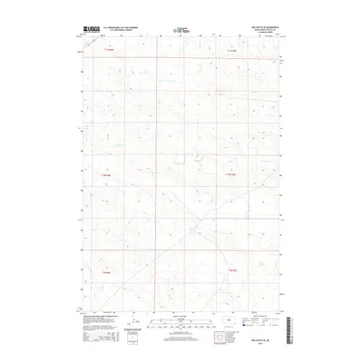
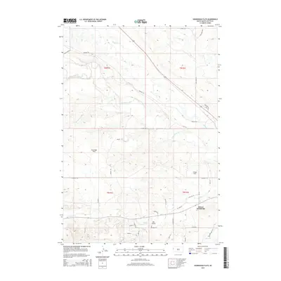
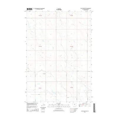
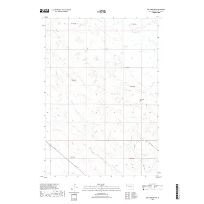
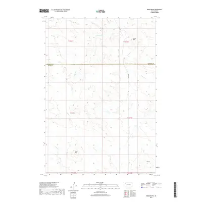
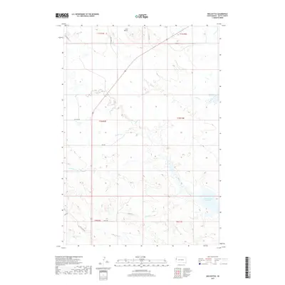
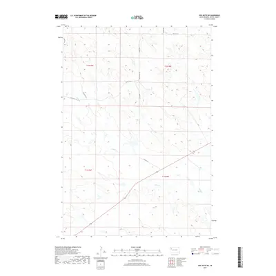
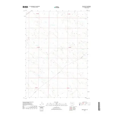
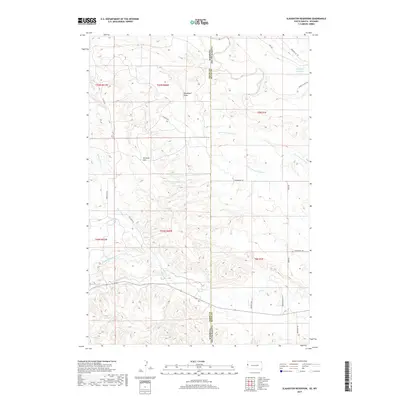
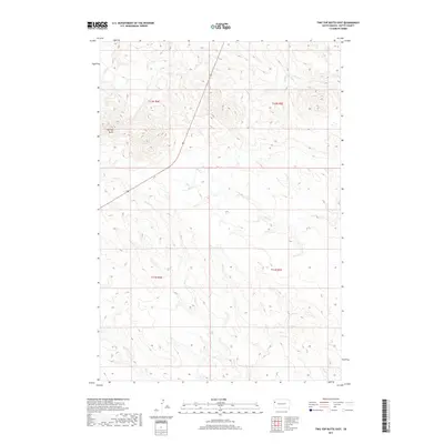
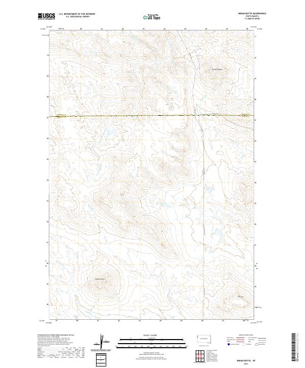
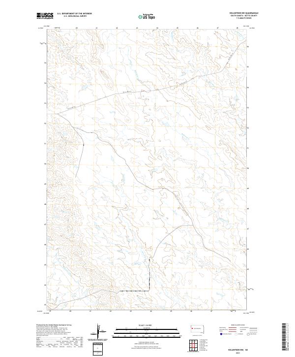
Castle Rock stands as the primary landmark in this ranching landscape of northern Butte County. The terrain is defined by a dense network of intermittent drainages, including Frog Cr in the north and the complex branching of Buck Pasture Cr, Middle Cr, and Willow Cr to the south. This 2021 survey shows a sparsely settled region where the legacy of the Public Land Survey System remains the dominant structural element, dividing the land into clear townships such as t12n r6e and t11n r5e. Modern infrastructure is limited to localized rural routes like Rock Butte Ln and Eqk Rd, which trace the property boundaries and provide access to the isolated homesteads and pastures that characterize this portion of the South Dakota plains.
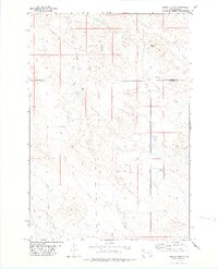
Find a feature on this map
13 named features on this map. Tap any name to fly to it.
Don’t see what you’re looking for? This feature index may not catch every label — zoom into the map to look around manually.
Map Details
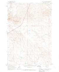
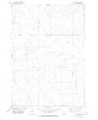
Editions of this 2021 Castle Rock Map
This is the sole edition of this map. No revisions or reprints were ever made.
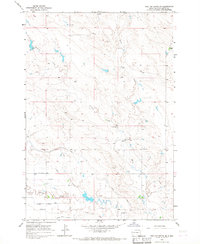
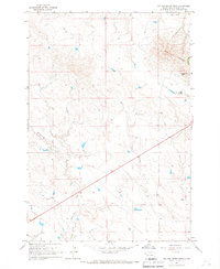
Historical Maps of Castle Rock Through Time
194 maps found
1905 Indian
Butte County, SD
1905 Saint Onge
Butte County, SD

1906 Two Top
Butte County, SD
1907 Redwater
Butte County, SD
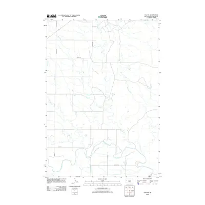
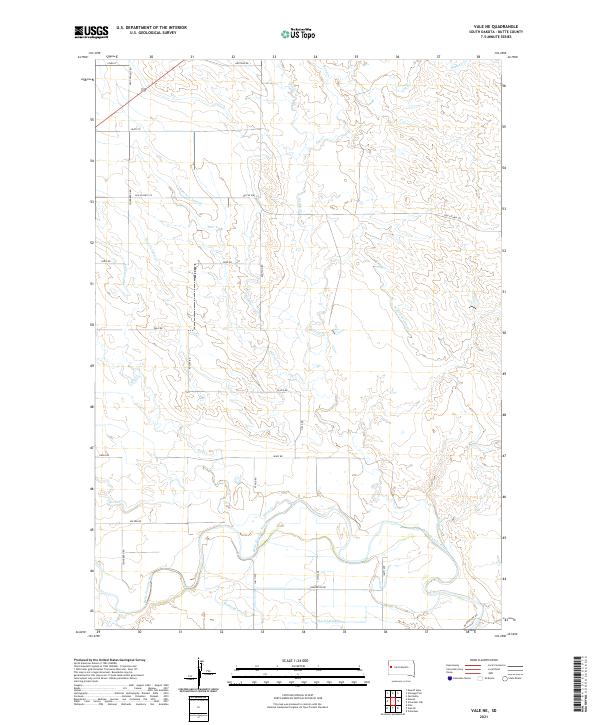
1951 Vale NE
Butte County, SD
1954 Saint Onge
Butte County, SD
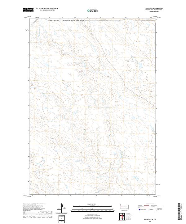
1959 Volunteer NE
Butte County, SD
1959 Volunteer NW
Butte County, SD
1965 Antelope Butte
Butte County, SD
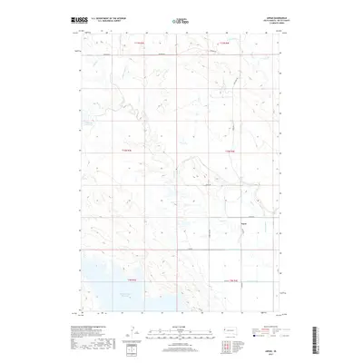
1965 Arpan
Butte County, SD
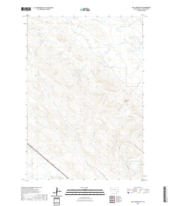
1965 Bull Creek Butte
Butte County, SD
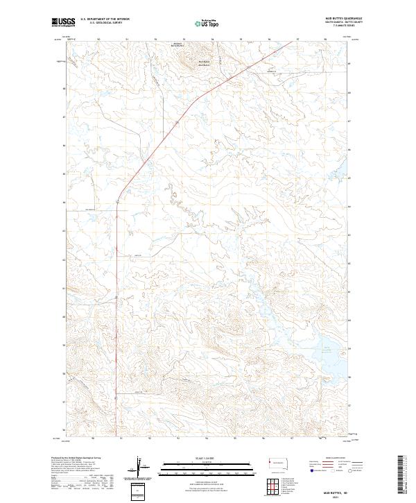
1965 Mud Buttes
Butte County, SD
1965 Mud Buttes NW
Butte County, SD
1965 Two Top Butte East
Butte County, SD
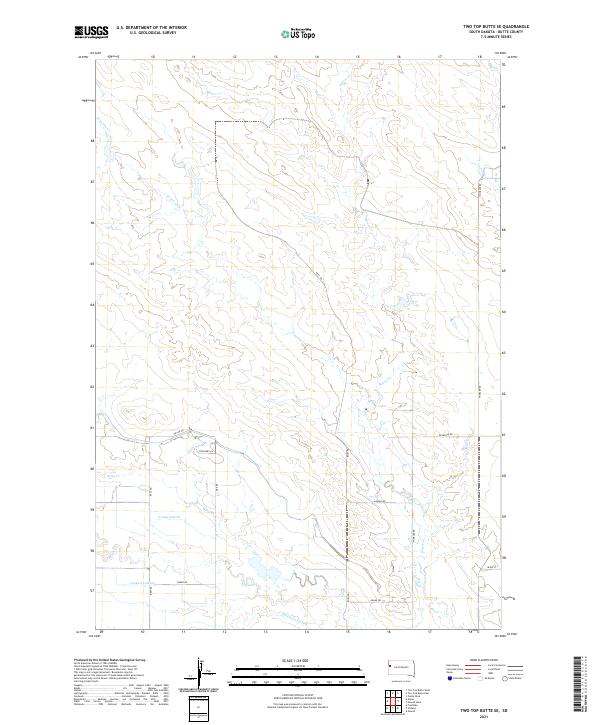
1965 Two Top Butte SE
Butte County, SD
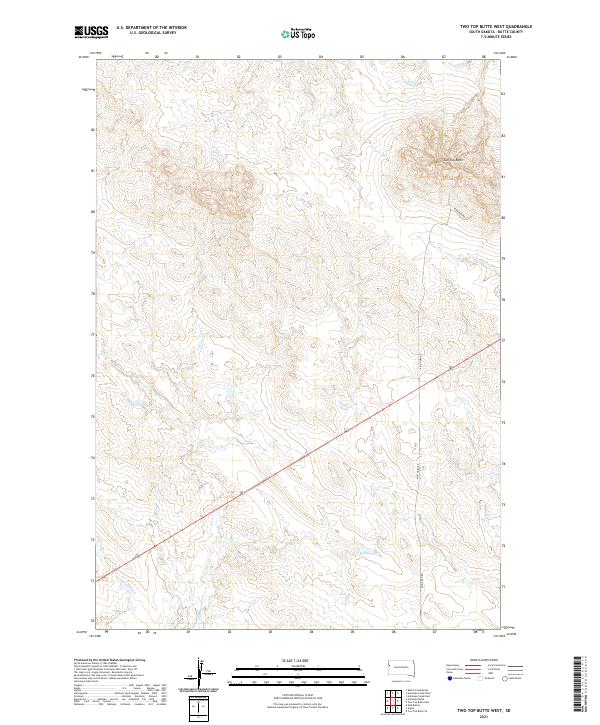
1965 Two Top Butte West
Butte County, SD
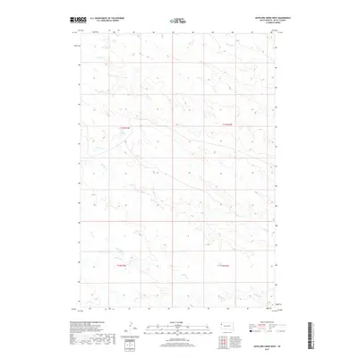
1973 Antelope Creek East
Butte County, SD
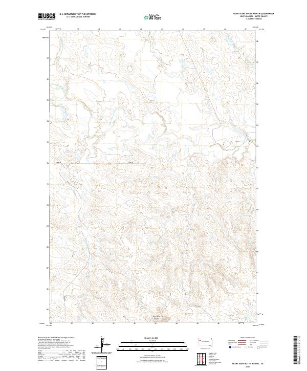
1973 Deers Ears Butte North
Butte County, SD
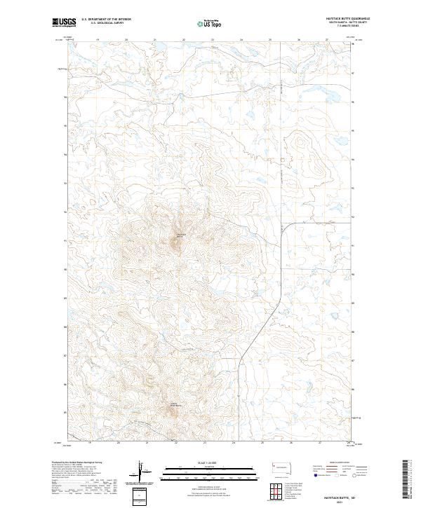
1973 Haystack Butte
Butte County, SD
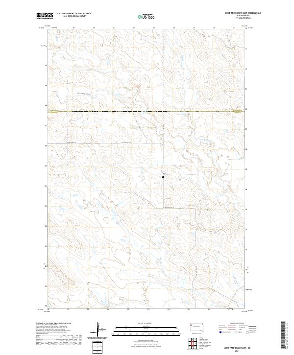
1973 Lone Tree Draw East
Butte County, SD
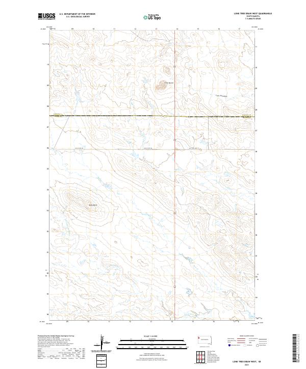
1973 Lone Tree Draw West
Butte County, SD
1973 Owl Butte
Butte County, SD
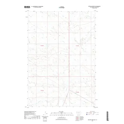
1977 Antelope Creek West
Butte County, SD
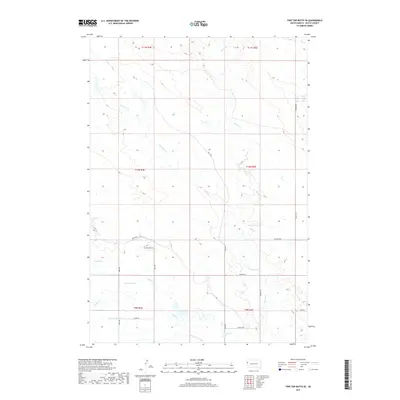
1977 Castle Rock
Butte County, SD
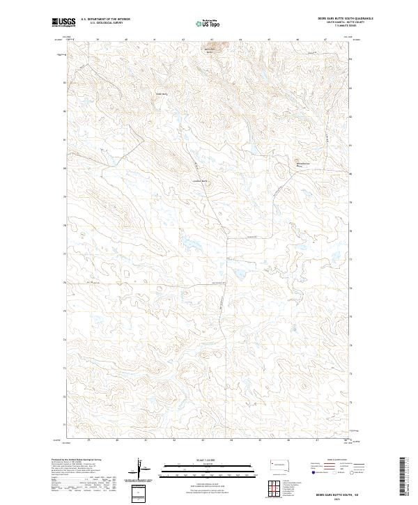
1977 Deers Ears Butte South
Butte County, SD
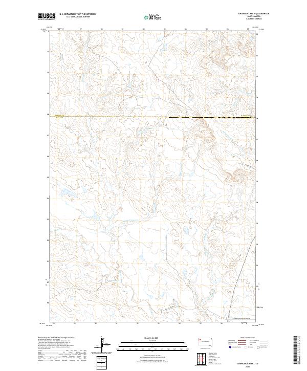
1977 Granger Creek
Butte County, SD
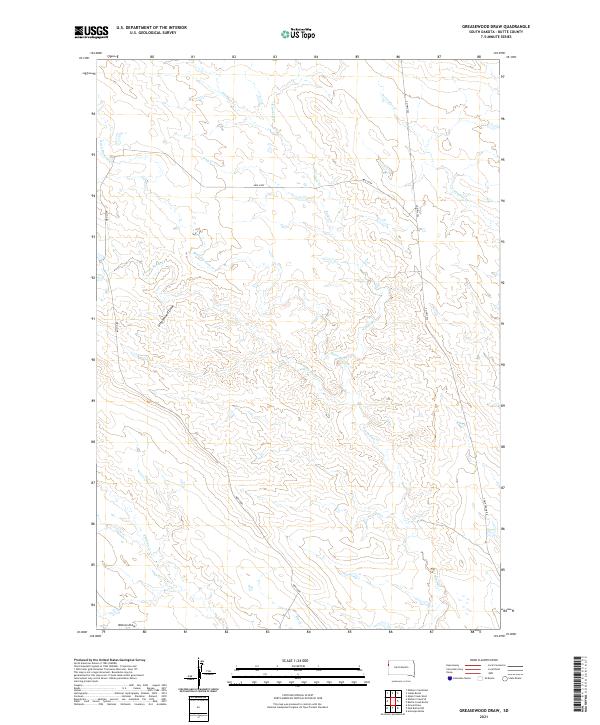
1977 Greasewood Draw
Butte County, SD
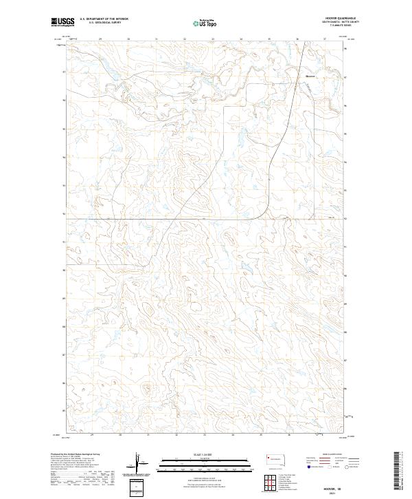
1977 Hoover
Butte County, SD
1977 Newell Lake
Butte County, SD
1977 Owl Butte SE
Butte County, SD
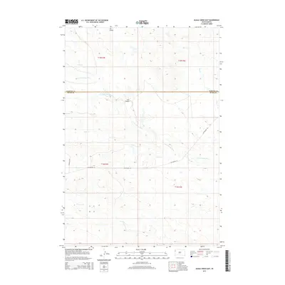
1978 Alkali Creek East
Butte County, SD
1978 Alkali Creek West
Butte County, SD
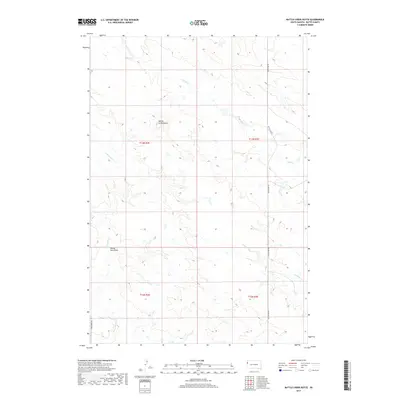
1978 Battle Creek Butte
Butte County, SD
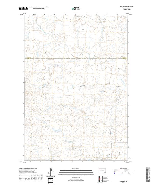
1978 Fish Draw
Butte County, SD
1978 Indian Butte
Butte County, SD
1978 Owl Butte NE
Butte County, SD
1978 Porter Creek
Butte County, SD
1978 Schoepp Flat
Butte County, SD
1978 Sulphur Butte
Butte County, SD
1978 Tomato Can Buttes
Butte County, SD
1984 Slaughter Reservoir
Butte County, SD
1984 Sourdough Flats
Butte County, SD
2012 Alkali Creek East
Butte County, SD

2012 Alkali Creek West
Butte County, SD
2012 Antelope Butte
Butte County, SD
2012 Antelope Creek East
Butte County, SD
2012 Antelope Creek West
Butte County, SD
2012 Arpan
Butte County, SD
2012 Battle Creek Butte
Butte County, SD
2012 Bull Creek Butte
Butte County, SD
2012 Castle Rock
Butte County, SD
2012 Deers Ears Butte North
Butte County, SD
2012 Deers Ears Butte South
Butte County, SD
2012 Fish Draw
Butte County, SD
2012 Granger Creek
Butte County, SD
2012 Greasewood Draw
Butte County, SD
2012 Haystack Butte
Butte County, SD
2012 Hoover
Butte County, SD
2012 Indian Butte
Butte County, SD
2012 Lone Tree Draw East
Butte County, SD
2012 Lone Tree Draw West
Butte County, SD
2012 Middle Creek Butte
Butte County, SD
2012 Mud Buttes
Butte County, SD
2012 Mud Buttes NW
Butte County, SD
2012 Newell Lake
Butte County, SD
2012 Owl Butte
Butte County, SD
2012 Owl Butte NE
Butte County, SD
2012 Owl Butte SE
Butte County, SD
2012 Porter Creek
Butte County, SD
2012 Schoepp Flat
Butte County, SD
2012 Slaughter Reservoir
Butte County, SD
2012 Sourdough Flats
Butte County, SD
2012 Sulphur Butte
Butte County, SD
2012 Tomato Can Buttes
Butte County, SD
2012 Two Top Butte East
Butte County, SD
2012 Two Top Butte SE
Butte County, SD
2012 Two Top Butte West
Butte County, SD
2012 Vale NE
Butte County, SD
2012 Volunteer NE
Butte County, SD
2012 Volunteer NW
Butte County, SD
2015 Alkali Creek East
Butte County, SD
2015 Alkali Creek West
Butte County, SD
2015 Antelope Butte
Butte County, SD
2015 Antelope Creek East
Butte County, SD
2015 Antelope Creek West
Butte County, SD
2015 Arpan
Butte County, SD
2015 Battle Creek Butte
Butte County, SD
2015 Bull Creek Butte
Butte County, SD
2015 Castle Rock
Butte County, SD
2015 Deers Ears Butte North
Butte County, SD
2015 Deers Ears Butte South
Butte County, SD
2015 Fish Draw
Butte County, SD
2015 Granger Creek
Butte County, SD
2015 Greasewood Draw
Butte County, SD
2015 Haystack Butte
Butte County, SD
2015 Hoover
Butte County, SD
2015 Indian Butte
Butte County, SD
2015 Lone Tree Draw East
Butte County, SD
2015 Lone Tree Draw West
Butte County, SD
2015 Middle Creek Butte
Butte County, SD
2015 Mud Buttes
Butte County, SD
2015 Mud Buttes NW
Butte County, SD
2015 Newell Lake
Butte County, SD
2015 Owl Butte
Butte County, SD
2015 Owl Butte NE
Butte County, SD
2015 Owl Butte SE
Butte County, SD
2015 Porter Creek
Butte County, SD
2015 Schoepp Flat
Butte County, SD
2015 Slaughter Reservoir
Butte County, SD
2015 Sourdough Flats
Butte County, SD
2015 Sulphur Butte
Butte County, SD
2015 Tomato Can Buttes
Butte County, SD
2015 Two Top Butte East
Butte County, SD
2015 Two Top Butte SE
Butte County, SD
2015 Two Top Butte West
Butte County, SD
2015 Vale NE
Butte County, SD
2015 Volunteer NE
Butte County, SD
2015 Volunteer NW
Butte County, SD
2017 Alkali Creek East
Butte County, SD
2017 Alkali Creek West
Butte County, SD
2017 Antelope Butte
Butte County, SD
2017 Antelope Creek East
Butte County, SD
2017 Antelope Creek West
Butte County, SD
2017 Arpan
Butte County, SD
2017 Battle Creek Butte
Butte County, SD
2017 Bull Creek Butte
Butte County, SD
2017 Castle Rock
Butte County, SD
2017 Deers Ears Butte North
Butte County, SD
2017 Deers Ears Butte South
Butte County, SD
2017 Fish Draw
Butte County, SD
2017 Granger Creek
Butte County, SD

2017 Greasewood Draw
Butte County, SD
2017 Haystack Butte
Butte County, SD
2017 Hoover
Butte County, SD
2017 Indian Butte
Butte County, SD
2017 Lone Tree Draw East
Butte County, SD
2017 Lone Tree Draw West
Butte County, SD
2017 Middle Creek Butte
Butte County, SD
2017 Mud Buttes
Butte County, SD
2017 Mud Buttes NW
Butte County, SD
2017 Newell Lake
Butte County, SD
2017 Owl Butte
Butte County, SD
2017 Owl Butte NE
Butte County, SD
2017 Owl Butte SE
Butte County, SD
2017 Porter Creek
Butte County, SD
2017 Schoepp Flat
Butte County, SD
2017 Slaughter Reservoir
Butte County, SD
2017 Sourdough Flats
Butte County, SD
2017 Sulphur Butte
Butte County, SD
2017 Tomato Can Buttes
Butte County, SD
2017 Two Top Butte East
Butte County, SD
2017 Two Top Butte SE
Butte County, SD
2017 Two Top Butte West
Butte County, SD
2017 Vale NE
Butte County, SD
2017 Volunteer NE
Butte County, SD
2017 Volunteer NW
Butte County, SD
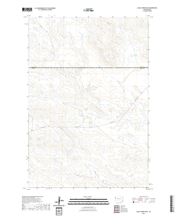
2021 Alkali Creek East
Butte County, SD
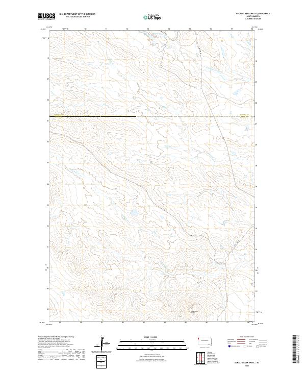
2021 Alkali Creek West
Butte County, SD
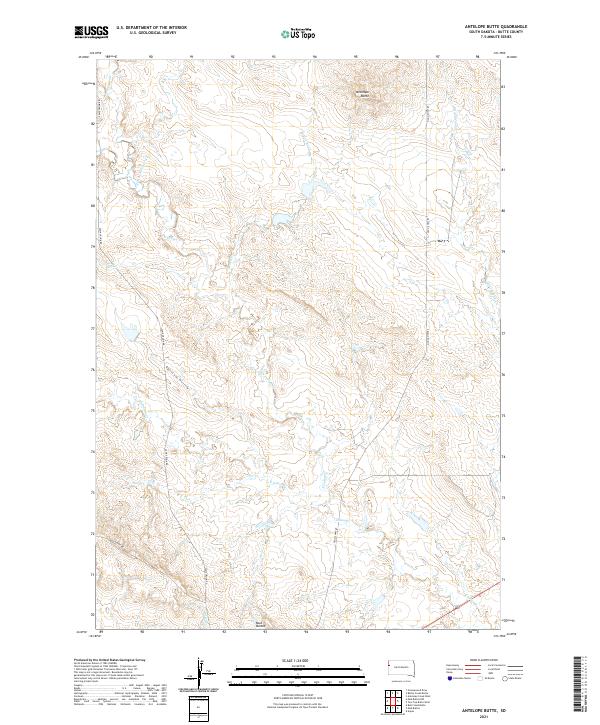
2021 Antelope Butte
Butte County, SD

2021 Antelope Creek East
Butte County, SD
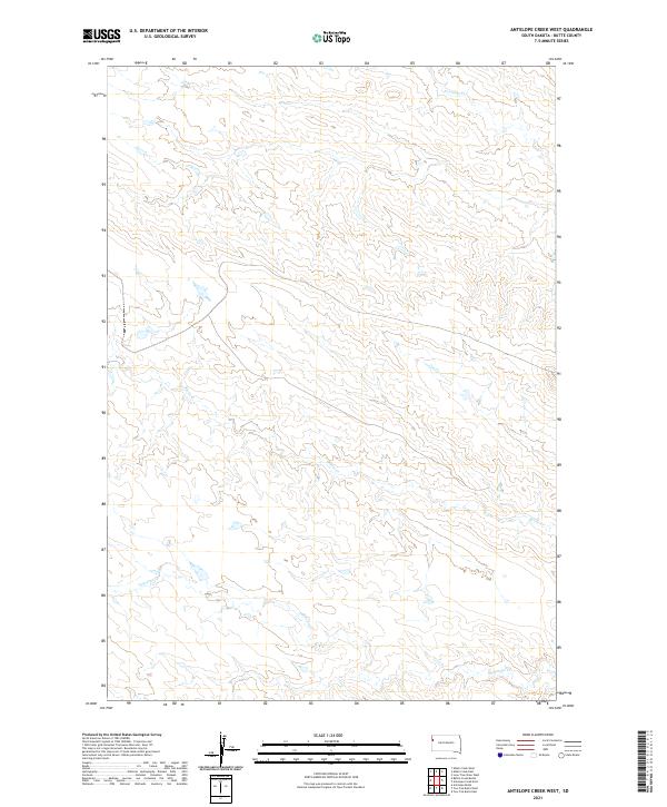
2021 Antelope Creek West
Butte County, SD
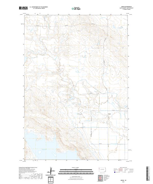
2021 Arpan
Butte County, SD
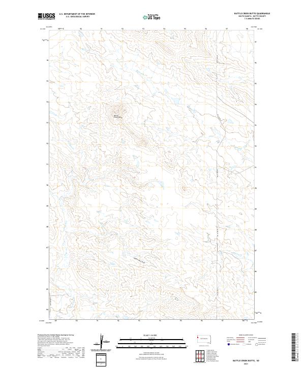
2021 Battle Creek Butte
Butte County, SD
2021 Bull Creek Butte
Butte County, SD
2021 Castle Rock
Butte County, SD
2021 Deers Ears Butte North
Butte County, SD
2021 Deers Ears Butte South
Butte County, SD
2021 Fish Draw
Butte County, SD
2021 Granger Creek
Butte County, SD
2021 Greasewood Draw
Butte County, SD
2021 Haystack Butte
Butte County, SD
2021 Hoover
Butte County, SD
2021 Indian Butte
Butte County, SD
2021 Lone Tree Draw East
Butte County, SD
2021 Lone Tree Draw West
Butte County, SD
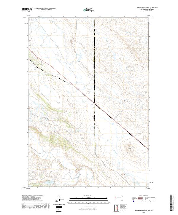
2021 Middle Creek Butte
Butte County, SD
2021 Mud Buttes
Butte County, SD

2021 Mud Buttes NW
Butte County, SD
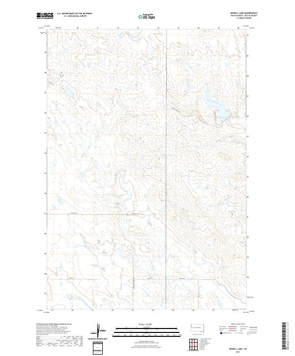
2021 Newell Lake
Butte County, SD
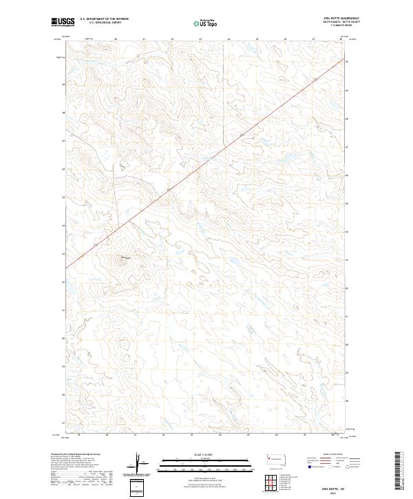
2021 Owl Butte
Butte County, SD
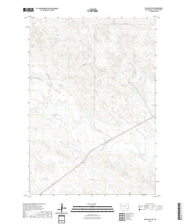
2021 Owl Butte NE
Butte County, SD
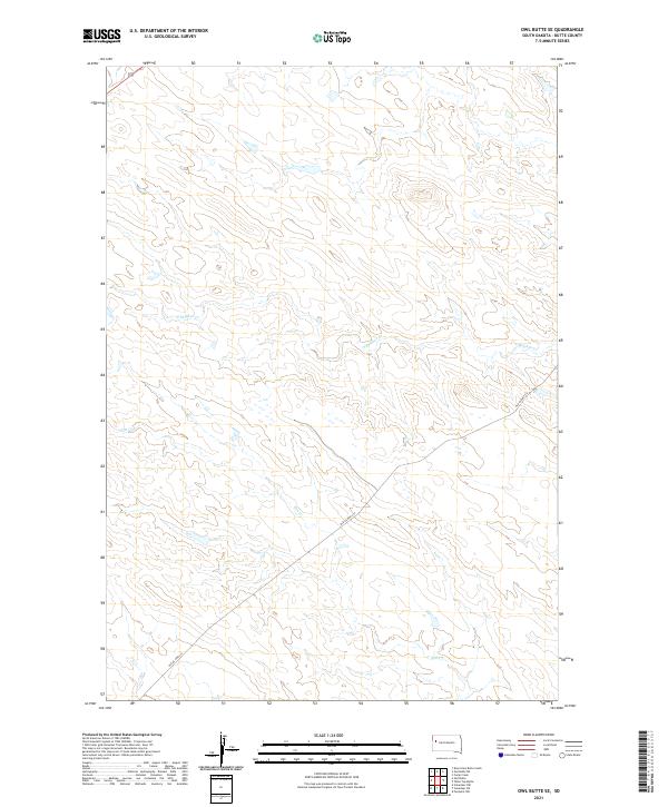
2021 Owl Butte SE
Butte County, SD
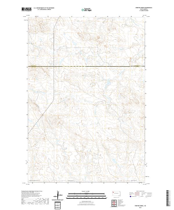
2021 Porter Creek
Butte County, SD
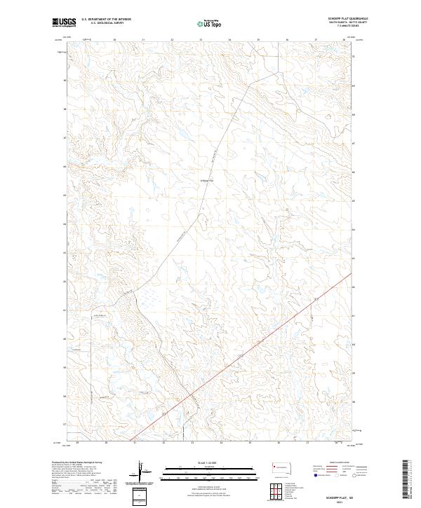
2021 Schoepp Flat
Butte County, SD
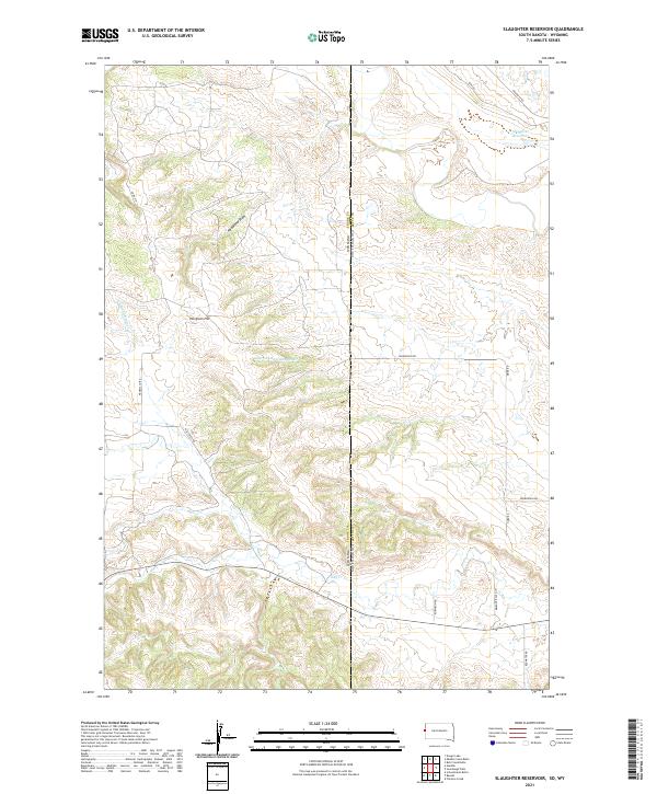
2021 Slaughter Reservoir
Butte County, SD
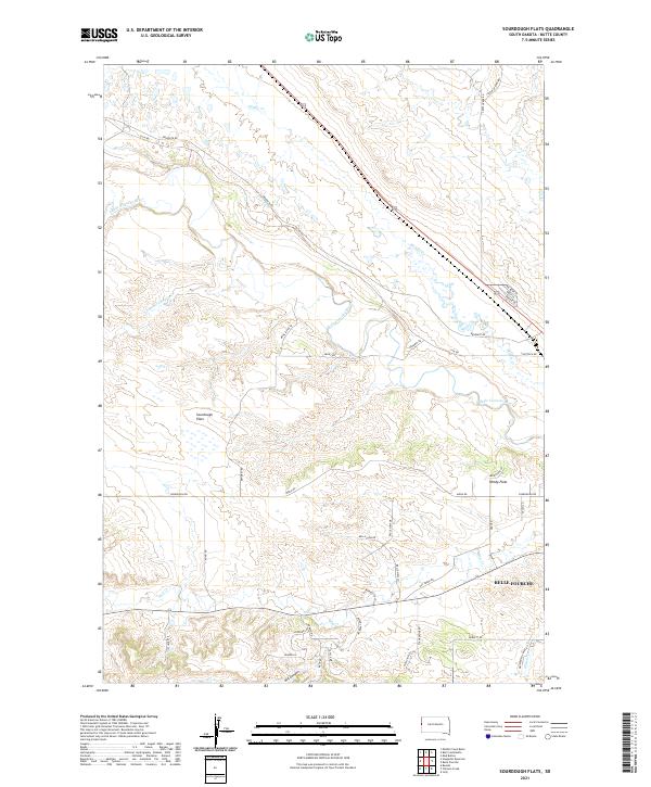
2021 Sourdough Flats
Butte County, SD
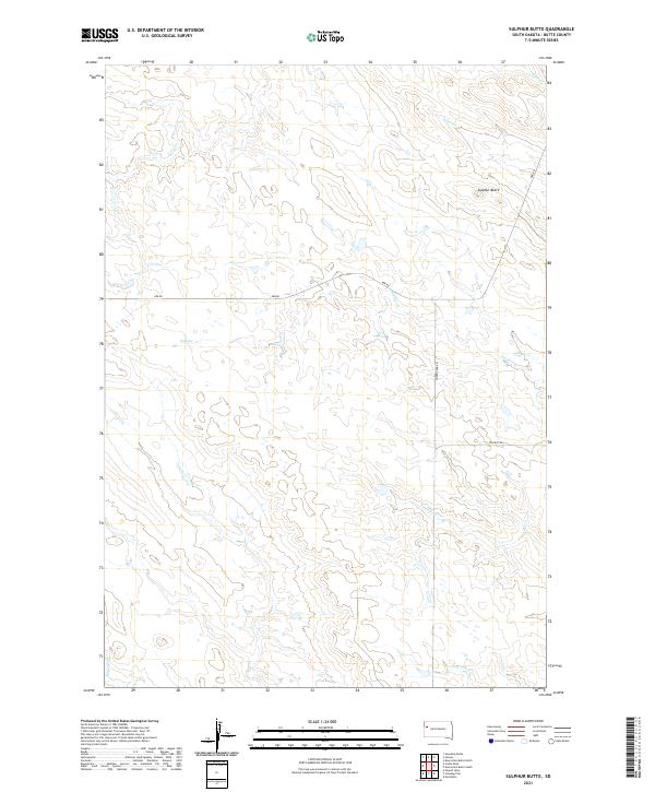
2021 Sulphur Butte
Butte County, SD
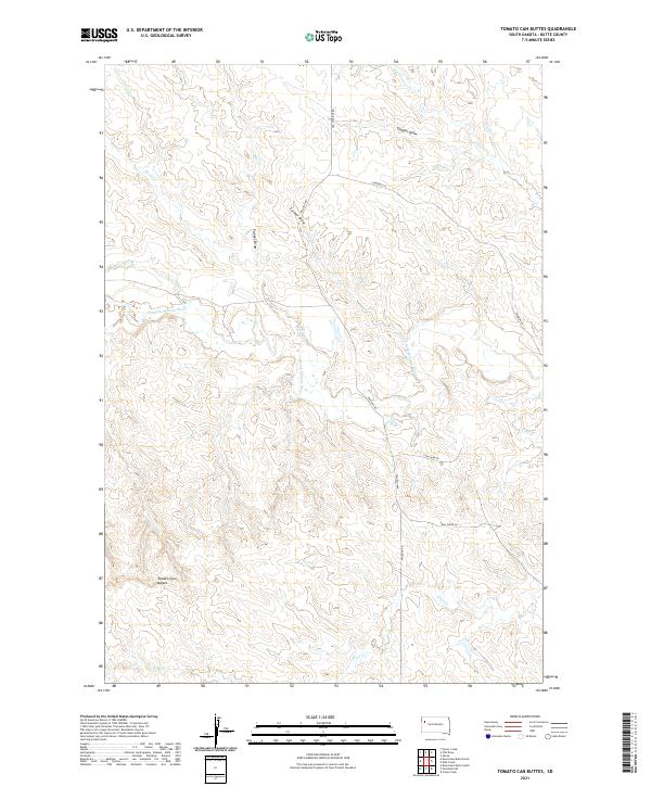
2021 Tomato Can Buttes
Butte County, SD
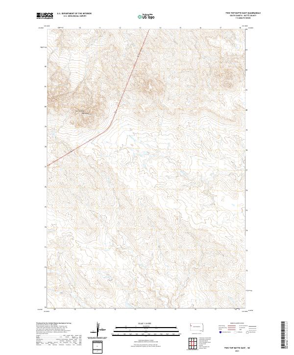
2021 Two Top Butte East
Butte County, SD
2021 Two Top Butte SE
Butte County, SD
2021 Two Top Butte West
Butte County, SD
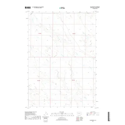
2021 Vale NE
Butte County, SD
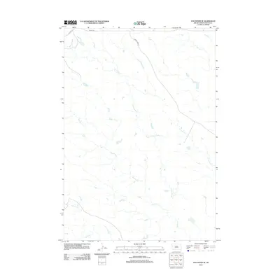
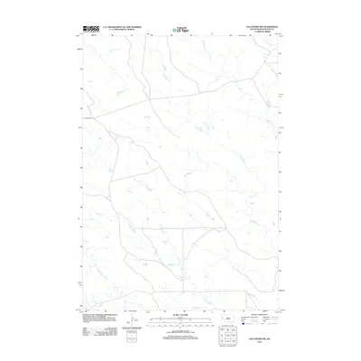
2021 Volunteer NE
Butte County, SD
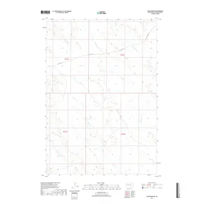
2021 Volunteer NW
Butte County, SD