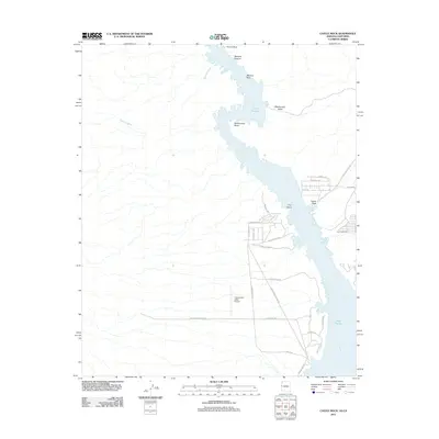
2011 Map of Castle Rock
USGS Topo · Published 2011About this map
Lake Havasu and the winding Colorado River define this desert landscape where Arizona and California meet. The map reveals a transition from the narrow, rock-walled confines of Mohave Canyon and Blankenship Bend into the broader waters of the reservoir. To the west, the arid California terrain is punctuated by the Chemehuevi Valley Airport and a network of desert roads like Indian Reservation Rd, while the eastern shoreline near Arizona features more developed residential pockets such as those along Loma Vista St.
Find a feature on this map
35 named features on this map. Tap any name to fly to it.
Don’t see what you’re looking for? This feature index may not catch every label — zoom into the map to look around manually.
Map Details
Editions of this 2011 Castle Rock Map
This is the sole edition of this map. No revisions or reprints were ever made.
Other maps of this area

1903 · Needles
USGS Topo · 1:125,000

1904 · Needles Special
USGS Topo · 1:125,000

1911 · Parker
USGS Topo · 1:125,000

1943 · Topock
USGS Topo · 1:62,500

1943 · Whipple Mts.
USGS Topo · 1:62,500

1950 · Topock
USGS Topo · 1:62,500

1950 · Sawtooth Range
USGS Topo · 1:62,500

1950 · Whipple Mts
USGS Topo · 1:62,500

1950 · Savahia Peak
USGS Topo · 1:62,500

1951 · Topock
USGS Topo · 1:62,500