
1950 Map of Whipple Mts
USGS Topo · Published 1958About this map
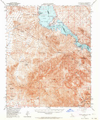
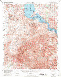
Havasu Lake and the Colorado River dominate the eastern border of this 1950 survey, marking the jagged boundary between California and Arizona. The landscape is defined by the high elevations of the Whipple Mountains and the extensive Chemehuevi Indian Reservation, which occupies much of the northern and central terrain. Human presence at mid-century is characterized by remote outposts and a legacy of mineral exploration. Remote wells such as West Well and Chambers Well provide critical water points in the arid expanse of Chemehuevi Wash, while the banks of the lake show emerging recreational and transit hubs at Needles Boat Landing and Roads End Camp.
Find a feature on this map
36 named features on this map. Tap any name to fly to it.
Don’t see what you’re looking for? This feature index may not catch every label — zoom into the map to look around manually.
Map Details
Editions of this 1950 Whipple Mts Map
3 editions found
Other maps of this area

1903 · Needles
USGS Topo · 1:125,000

1904 · Needles Special
USGS Topo · 1:125,000

1911 · Parker
USGS Topo · 1:125,000

1927 · Buck Mountains
USGS Topo · 1:62,500

1929 · Buck Mountains
USGS Topo · 1:62,500

1943 · Giers Basin
USGS Topo · 1:62,500

1943 · Topock
USGS Topo · 1:62,500

1943 · Whipple Mts.
USGS Topo · 1:62,500

1943 · Parker
USGS Topo · 1:62,500

1943 · Vidal
USGS Topo · 1:62,500