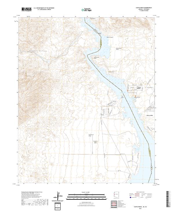
2021 Map of Castle Rock
USGS Topo · Published 2021About this map
Lake Havasu and the winding course of the Colorado River define this desert landscape at the border of Arizona and California. Residential developments like Crystal Beach and Desert Hills hug the eastern shoreline, illustrating the modern growth along the river's edge. The waterway transitions through distinct segments, including the narrow Mohave Canyon and the wide turn at Blankenship Bend, while the western shore is dominated by the steep, undeveloped terrain of the Chemehuevi Mountains.
Find a feature on this map
55 named features on this map. Tap any name to fly to it.
Don’t see what you’re looking for? This feature index may not catch every label — zoom into the map to look around manually.
Map Details
Editions of this 2021 Castle Rock Map
This is the sole edition of this map. No revisions or reprints were ever made.
Other maps of this area

1903 · Needles
USGS Topo · 1:125,000

1904 · Needles Special
USGS Topo · 1:125,000

1911 · Parker
USGS Topo · 1:125,000

1943 · Topock
USGS Topo · 1:62,500

1943 · Whipple Mts.
USGS Topo · 1:62,500

1950 · Topock
USGS Topo · 1:62,500

1950 · Sawtooth Range
USGS Topo · 1:62,500

1950 · Whipple Mts
USGS Topo · 1:62,500

1950 · Savahia Peak
USGS Topo · 1:62,500

1951 · Topock
USGS Topo · 1:62,500