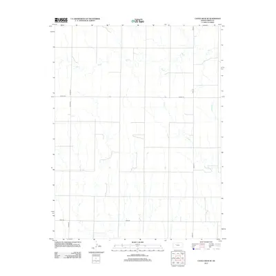
2012 Map of Castle Rock NE
USGS Topo · Published 2012About this map
The High Plains of Trego County are defined here by the dendritic drainage patterns of Big Cr and Downer Cr as they cut through the Kansas landscape. This early 21st-century survey reveals a strictly organized section-line road network, where routes like Voda Rd and Banner Rd impose a geometric order over the winding natural watercourses. The presence of E Br Downer Cr and various unnamed tributaries highlights the subtle topography of the region, where the land's utility is balanced between agricultural access and the necessary infrastructure shown at Landfill Rd. While many historic settlements in this part of Kansas have consolidated, the map maintains the essential rural framework of numbered county roads like Trego 458 and Trego 531, providing a precise look at the modern rural interface in the Great Plains.
Find a feature on this map
8 named features on this map. Tap any name to fly to it.
Don’t see what you’re looking for? This feature index may not catch every label — zoom into the map to look around manually.
Map Details
Editions of this 2012 Castle Rock NE Map
This is the sole edition of this map. No revisions or reprints were ever made.
Other maps of this area

1893 · Ellis
USGS Topo · 1:125,000

1893 · Hill
USGS Topo · 1:125,000

1954 · Goodland
USGS Topo · 1:250,000

1955 · Great Bend
USGS Topo · 1:250,000

1955 · Scott City
USGS Topo · 1:250,000

1955 · Beloit
USGS Topo · 1:250,000

1956 · Goodland
USGS Topo · 1:250,000

1957 · Goodland
USGS Topo · 1:250,000

1957 · Great Bend
USGS Topo · 1:250,000

1958 · Great Bend
USGS Topo · 1:250,000