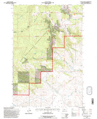
1995 Map of Castle Town
USGS Topo · Published 1997About this map
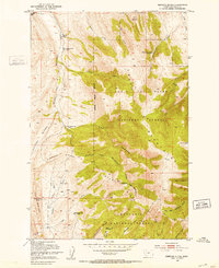
The Castle Mountains dominate this 1995 revision of Meagher County, revealing a landscape defined by its mining heritage and rugged drainage networks. At the center of the district lies Castle Town, once a bustling silver camp, accompanied by the nearby Castle Cem and the settlement of Robinson. The map meticulously details the industrial footprint of the era, marking the Cumberland Mine, Lucky Dollar Mine, and Yellowstone Mine along the steep slopes.
Find a feature on this map
33 named features on this map. Tap any name to fly to it.
Don’t see what you’re looking for? This feature index may not catch every label — zoom into the map to look around manually.
Map Details
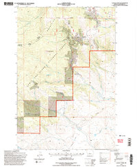
Editions of this 1995 Castle Town Map
2 editions found
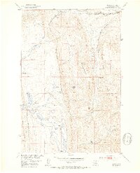
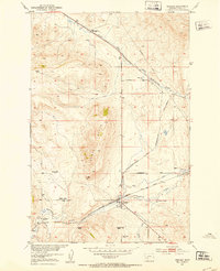
Other maps of this area

1886 · Little Belt Mts.
USGS Topo · 1:250,000

1894 · Little Belt Mts.
USGS Topo · 1:250,000

1897 · Little Belt Mts.
USGS Topo · 1:250,000

1898 · Little Belt Mts.
USGS Topo · 1:250,000

1902 · Little Belt Mts.
USGS Topo · 1:250,000

1948 · White Sulphur Springs
USGS Topo · 1:250,000
1951 · Hamen
USGS Topo · 1:24,000
1951 · Ringling
USGS Topo · 1:24,000
1951 · Rimrock Divide
USGS Topo · 1:24,000

1958 · White Sulphur Springs
USGS Topo · 1:250,000