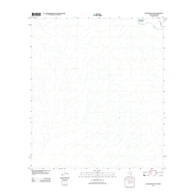
2012 Map of Castolon OE S
USGS Topo · Published 2012About this map
Rio Grande waters define the northern edge of this sparse borderland terrain, marking the international boundary in the high desert. The landscape is characterized by a dense network of intermittent drainages and arroyos that feed toward the river valley from the south. Cultural features are extremely limited in this arid environment, centered primarily on the historic Santa Elena Crossing, a location that has long served as a vital point of passage across the river. Access to this remote stretch is provided by the unpaved River Road W, which skirts the river's path, connecting the crossing to the broader region. The lack of permanent settlements or structures on this 2012 survey highlights the preservation of the area's primitive character along the Texas-Chihuahua border.
Find a feature on this map
3 named features on this map. Tap any name to fly to it.
Don’t see what you’re looking for? This feature index may not catch every label — zoom into the map to look around manually.
Map Details
Editions of this 2012 Castolon OE S Map
This is the sole edition of this map. No revisions or reprints were ever made.
Other maps of this area

1903 · Chisos Mountains
USGS Topo · 1:125,000

1903 · Terlingua
USGS Topo · 1:125,000

1904 · Terlingua
USGS Topo · 1:125,000

1905 · Chisos Mountains
USGS Topo · 1:125,000

1959 · Emory Peak
USGS Topo · 1:250,000

1965 · Emory Peak
USGS Topo · 1:250,000

1971 · Cerro Castellan
USGS Topo · 1:24,000
1971 · Castolon
USGS Topo · 1:24,000
1971 · Smoky Creek
USGS Topo · 1:24,000
1971 · Mesa De Anguila
USGS Topo · 1:24,000