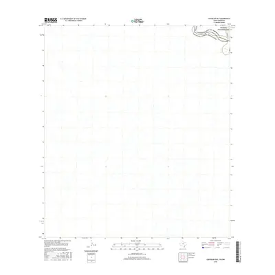
2016 Map of Castolon OE S
USGS Topo · Published 2016About this map
Big Bend National Park occupies the northern portion of this international border survey, where the winding course of the Rio Grande separates the United States of America from Estados Unidos Mexicanos. The map documents a sparse desert landscape defined by ephemeral drainage patterns and the rugged topography of southern Brewster Co, Texas. A primary point of access into this remote river corridor is marked by River Rd W, which follows the general contour of the valley north of the riverbank. This map provides a technical perspective of the international boundary line as it follows the deepest channel of the river, illustrating the topographical isolation of the terrain south of the border in Chihuahua, Mexico.
Find a feature on this map
7 named features on this map. Tap any name to fly to it.
Don’t see what you’re looking for? This feature index may not catch every label — zoom into the map to look around manually.
Map Details
Editions of this 2016 Castolon OE S Map
This is the sole edition of this map. No revisions or reprints were ever made.
Other maps of this area

1903 · Chisos Mountains
USGS Topo · 1:125,000

1903 · Terlingua
USGS Topo · 1:125,000

1904 · Terlingua
USGS Topo · 1:125,000

1905 · Chisos Mountains
USGS Topo · 1:125,000

1959 · Emory Peak
USGS Topo · 1:250,000

1965 · Emory Peak
USGS Topo · 1:250,000

1971 · Cerro Castellan
USGS Topo · 1:24,000
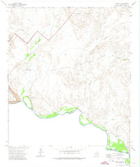
1971 · Castolon
USGS Topo · 1:24,000
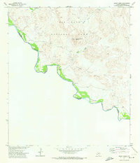
1971 · Smoky Creek
USGS Topo · 1:24,000
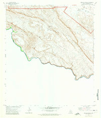
1971 · Mesa De Anguila
USGS Topo · 1:24,000