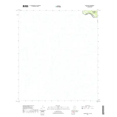
2019 Map of Castolon OE S
USGS Topo · Published 2019About this map
The Rio Grande carves a winding path through the northern corner of this landscape, forming the international boundary between the United States of America and Mexico. A portion of Big Bend National Park is visible along the river's edge, highlighting a transition from the protected federal lands in Brewster County, Texas, to the state of Chihuahua. The terrain is characterized by a complex network of drainage patterns and ephemeral washes that lead toward the river valley, illustrating the arid hydrology of the Trans-Pecos region. This 2019 survey documents the remote borderlands where the natural course of the river remains the primary geographic marker between two nations.
Find a feature on this map
3 named features on this map. Tap any name to fly to it.
Don’t see what you’re looking for? This feature index may not catch every label — zoom into the map to look around manually.
Map Details
Editions of this 2019 Castolon OE S Map
This is the sole edition of this map. No revisions or reprints were ever made.
Other maps of this area

1903 · Chisos Mountains
USGS Topo · 1:125,000

1903 · Terlingua
USGS Topo · 1:125,000

1904 · Terlingua
USGS Topo · 1:125,000

1905 · Chisos Mountains
USGS Topo · 1:125,000

1959 · Emory Peak
USGS Topo · 1:250,000

1965 · Emory Peak
USGS Topo · 1:250,000

1971 · Cerro Castellan
USGS Topo · 1:24,000
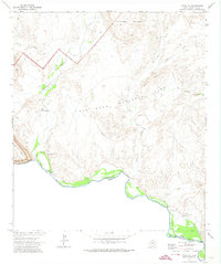
1971 · Castolon
USGS Topo · 1:24,000
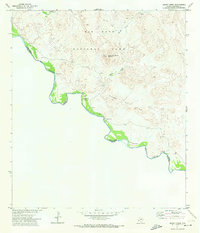
1971 · Smoky Creek
USGS Topo · 1:24,000
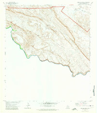
1971 · Mesa De Anguila
USGS Topo · 1:24,000