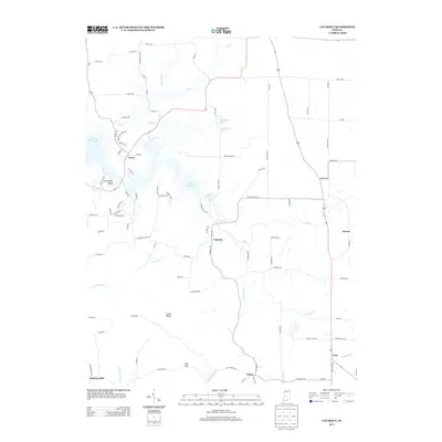
2013 Map of Cataract
USGS Topo · Published 2013About this map
Cataract Falls SRA anchors this landscape in Owen County, where the dramatic elevation changes of the Upper Cataract Falls and Lower Cataract Falls along Mill Cr define the local topography. This 2013 survey illustrates the complex hydrology around Cagles Mill Lake, featuring Ernie Pyle Island and the residential clusters of Cunot and Cataract. The map reveals a settlement pattern typical of the Indiana uplands, with small unincorporated communities like Devore, Carp, Cuba, and Atkinsonville scattered across the ridgelines and creek valleys. Notable landforms such as Corns Ridge and Hale Hill rise above the winding paths of Rattlesnake Cr and Jordan Cr. The map provides a precise record of the early 21st-century road network, from major routes like US-231 to the local lanes and county roads that link these rural homesteads and agricultural tracts.
Find a feature on this map
99 named features on this map. Tap any name to fly to it.
Don’t see what you’re looking for? This feature index may not catch every label — zoom into the map to look around manually.
Map Details
Editions of this 2013 Cataract Map
This is the sole edition of this map. No revisions or reprints were ever made.
Other maps of this area

1947 · Gosport
USGS Topo · 1:24,000

1949 · Quincy
USGS Topo · 1:24,000

1950 · Gosport
USGS Topo · 1:24,000

1952 · Reelsville
USGS Topo · 1:24,000

1953 · Indianapolis
USGS Topo · 1:250,000

1956 · Indianapolis
USGS Topo · 1:250,000

1956 · Cloverdale
USGS Topo · 1:24,000

1956 · Cataract
USGS Topo · 1:24,000

1956 · Eminence
USGS Topo · 1:24,000

1956 · Patricksburg
USGS Topo · 1:24,000