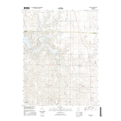
2016 Map of Cataract
USGS Topo · Published 2016About this map
Cataract and the surrounding Owen County countryside are defined by the winding course of Mill Creek as it feeds into the eastern reaches of Cagles Mill Lake. This landscape is marked by significant topographical shifts, most notably at the Upper Cataract Falls and Lower Cataract Falls, which provide a dramatic focus for the local terrain. The map captures a series of rural communities including Cunot, Atkinsonville, Cuba, and Carp, connected by a network of county roads that navigate the ridges and valleys of the Indiana uplands.
Find a feature on this map
108 named features on this map. Tap any name to fly to it.
Don’t see what you’re looking for? This feature index may not catch every label — zoom into the map to look around manually.
Map Details
Editions of this 2016 Cataract Map
This is the sole edition of this map. No revisions or reprints were ever made.
Other maps of this area

1947 · Gosport
USGS Topo · 1:24,000

1949 · Quincy
USGS Topo · 1:24,000

1950 · Gosport
USGS Topo · 1:24,000

1952 · Reelsville
USGS Topo · 1:24,000

1953 · Indianapolis
USGS Topo · 1:250,000

1956 · Indianapolis
USGS Topo · 1:250,000

1956 · Cloverdale
USGS Topo · 1:24,000

1956 · Cataract
USGS Topo · 1:24,000

1956 · Eminence
USGS Topo · 1:24,000

1956 · Patricksburg
USGS Topo · 1:24,000