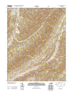
2013 Map of Catawba
USGS Topo · Published 2013About this map
New Castle and the nearby New Castle International Airport anchor the northern landscape of this Virginia survey, where the drainages of Meadow Cr and Broad Run cut through the high ridges. The terrain is defined by significant elevations, including North Mountain and Spesard Knob, which hem in the valley corridors used by early settlers and modern travelers alike. To the south, the community of Catawba lies near the historic site of Roanoke Red Sulphur Springs, a location tied to the region's mineral spring heritage.
Find a feature on this map
48 named features on this map. Tap any name to fly to it.
Don’t see what you’re looking for? This feature index may not catch every label — zoom into the map to look around manually.
Map Details
Editions of this 2013 Catawba Map
This is the sole edition of this map. No revisions or reprints were ever made.
Other maps of this area

1887 · Lewisburg
USGS Topo · 1:125,000

1890 · Roanoke
USGS Topo · 1:125,000

1890 · Christiansburg
USGS Topo · 1:125,000

1891 · Roanoke
USGS Topo · 1:125,000

1891 · Lewisburg
USGS Topo · 1:125,000

1894 · Natural Bridge
USGS Topo · 1:125,000

1913 · Eagle Rock
USGS Topo · 1:48,000

1915 · Eagle Rock
USGS Topo · 1:62,500

1929 · Roanoke
USGS Topo · 1:48,000

1929 · Salem
USGS Topo · 1:48,000