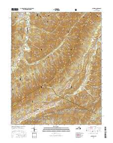
2016 Map of Catawba
USGS Topo · Published 2016About this map
New Castle and Catawba anchor this portion of the Blue Ridge and Ridge-and-Valley province, where the intersection of Craig, Botetourt, and Roanoke counties creates a complex landscape of narrow valleys and high ridges. The Appalachian National Scenic Trail traverses the southern half of the sheet, crossing the iconic McAfee Knob and following the spine of Catawba Mtn. The terrain is defined by deep geological folds, most notably The Murder Hole on the slopes of North Mtn.
Find a feature on this map
59 named features on this map. Tap any name to fly to it.
Don’t see what you’re looking for? This feature index may not catch every label — zoom into the map to look around manually.
Map Details
Editions of this 2016 Catawba Map
This is the sole edition of this map. No revisions or reprints were ever made.
Other maps of this area

1887 · Lewisburg
USGS Topo · 1:125,000

1890 · Roanoke
USGS Topo · 1:125,000

1890 · Christiansburg
USGS Topo · 1:125,000

1891 · Roanoke
USGS Topo · 1:125,000

1891 · Lewisburg
USGS Topo · 1:125,000

1894 · Natural Bridge
USGS Topo · 1:125,000

1913 · Eagle Rock
USGS Topo · 1:48,000

1915 · Eagle Rock
USGS Topo · 1:62,500

1929 · Roanoke
USGS Topo · 1:48,000

1929 · Salem
USGS Topo · 1:48,000