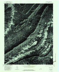
1977 Map of Catawba
USGS Topo · Published 1983About this map
New Castle serves as a prominent landmark in this orthophotoquad, situated where the waters of Craig Creek and Meadow Creek converge. The landscape is defined by the sharp, parallel ridges of North Mountain and Little North Mountain, which dictate the drainage patterns of Lick Branch and Broad Run. These geological features created natural corridors for early settlements like Catawba and Mason Cove to develop along the valley floors.
Find a feature on this map
13 named features on this map. Tap any name to fly to it.
Don’t see what you’re looking for? This feature index may not catch every label — zoom into the map to look around manually.
Map Details
Editions of this 1977 Catawba Map
This is the sole edition of this map. No revisions or reprints were ever made.
Other maps of this area

1887 · Lewisburg
USGS Topo · 1:125,000

1890 · Roanoke
USGS Topo · 1:125,000

1890 · Christiansburg
USGS Topo · 1:125,000

1891 · Roanoke
USGS Topo · 1:125,000

1891 · Lewisburg
USGS Topo · 1:125,000

1894 · Natural Bridge
USGS Topo · 1:125,000

1913 · Eagle Rock
USGS Topo · 1:48,000

1915 · Eagle Rock
USGS Topo · 1:62,500

1929 · Roanoke
USGS Topo · 1:48,000

1929 · Salem
USGS Topo · 1:48,000