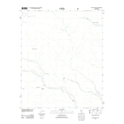
2012 Map of Catclaw Flat
USGS Topo · Published 2012About this map
Catclaw Flat sits at the heart of a desert drainage system where the Whitewater River and its southern fork converge near the curious placements of Wathier Landing and Stills Landing. The landscape is defined by its dramatic relief and hydrologic features, ranging from the depths of Hell for Sure Canyon and Grape Canyon to the prominent peak of Red Dome. This survey shows the complex network of mountain runoff, including Mission Creek and the Big Morongo Creek system, which feed into the wider basin at The Sink.
Find a feature on this map
20 named features on this map. Tap any name to fly to it.
Don’t see what you’re looking for? This feature index may not catch every label — zoom into the map to look around manually.
Map Details
Editions of this 2012 Catclaw Flat Map
This is the sole edition of this map. No revisions or reprints were ever made.
Other maps of this area

1901 · Southern California Sheet No. 1
USGS Topo · 1:250,000

1901 · San Jacinto
USGS Topo · 1:125,000

1902 · San Gorgonio
USGS Topo · 1:125,000

1904 · Southern California Sheet No. 1
USGS Topo · 1:250,000

1940 · Palm Springs
USGS Topo · 1:62,500

1942 · Banning
USGS Topo · 1:62,500

1943 · Banning
USGS Topo · 1:62,500

1944 · Palm Springs
USGS Topo · 1:62,500

1947 · Santa Ana
USGS Topo · 1:250,000

1949 · Santa Ana
USGS Topo · 1:250,000