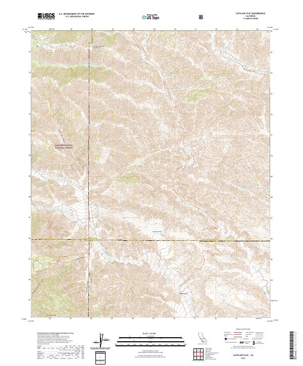
2021 Map of Catclaw Flat
USGS Topo · Published 2021About this map
The San Bernardino Mountains dominate this high-desert and alpine interface, where the arid floor of Catclaw Flat meets the steep drainages of the San Bernardino National Forest. The landscape is defined by its dramatic hydrology, featuring the Whitewater Wild and Scenic River and complex canyon systems like Hell for Sure Canyon and Grape Canyon. The Pacific Crest National Scenic Tri winds through this terrain, providing a continuous corridor through the high country. For the geographer or local historian, the map preserves the intricate drainage patterns of Mission Cr and its tributaries, alongside prominent peaks such as Kitching Peak and the geological feature known as Red Dome. The boundary line between San Bernardino Co and Riverside Co bisects the region, marking the administrative division across this topographic expanse.
Find a feature on this map
29 named features on this map. Tap any name to fly to it.
Don’t see what you’re looking for? This feature index may not catch every label — zoom into the map to look around manually.
Map Details
Editions of this 2021 Catclaw Flat Map
This is the sole edition of this map. No revisions or reprints were ever made.
Other maps of this area

1901 · Southern California Sheet No. 1
USGS Topo · 1:250,000

1901 · San Jacinto
USGS Topo · 1:125,000

1902 · San Gorgonio
USGS Topo · 1:125,000

1904 · Southern California Sheet No. 1
USGS Topo · 1:250,000

1940 · Palm Springs
USGS Topo · 1:62,500

1942 · Banning
USGS Topo · 1:62,500

1943 · Banning
USGS Topo · 1:62,500

1944 · Palm Springs
USGS Topo · 1:62,500

1947 · Santa Ana
USGS Topo · 1:250,000

1949 · Santa Ana
USGS Topo · 1:250,000