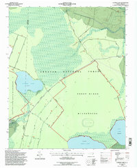
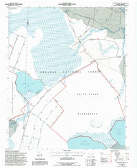
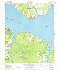
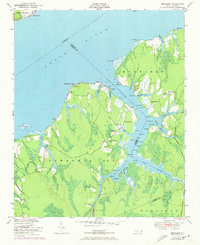
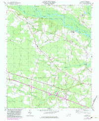
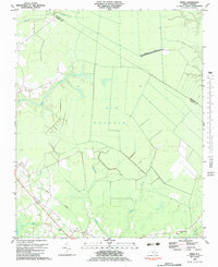
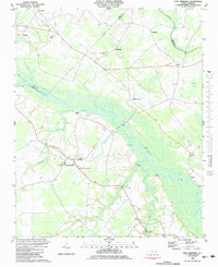
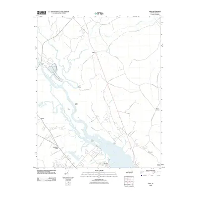
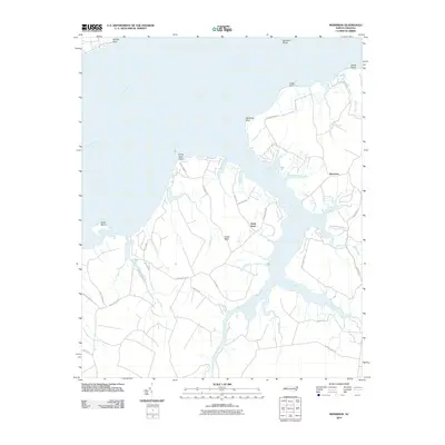
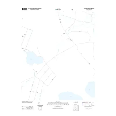
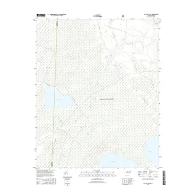
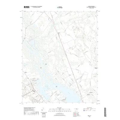
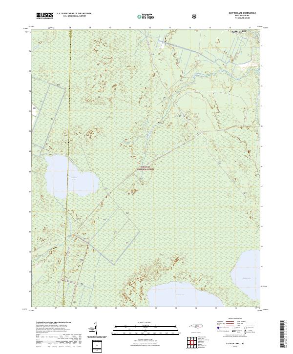
1994 Map of Catfish Lake
USGS Topo · Published 1997About this map
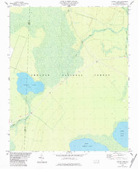
Catfish Lake and the surrounding pocosin wetlands dominate this portion of the Croatan National Forest during the mid-1990s. The landscape is defined by vast protected areas, including the Catfish Lake South Wilderness and the Sheep Ridge Wilderness, where the natural drainage of Black Swamp Creek and Brice Creek shapes the swampy terrain. The presence of Sheep Ridge provides a slight topographic variation in an otherwise low-lying environment characterized by several large, shallow Carolina bays like Great Lake and Long Lake.
Find a feature on this map
21 named features on this map. Tap any name to fly to it.
Don’t see what you’re looking for? This feature index may not catch every label — zoom into the map to look around manually.
Map Details
Editions of this 1994 Catfish Lake Map
2 editions found
Historical Maps of New Bern Through Time
47 maps found
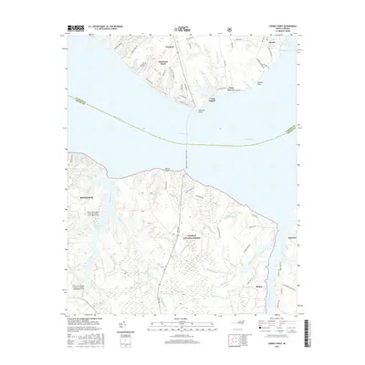
1949 Cherry Point
Craven County, NC
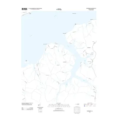
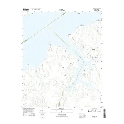
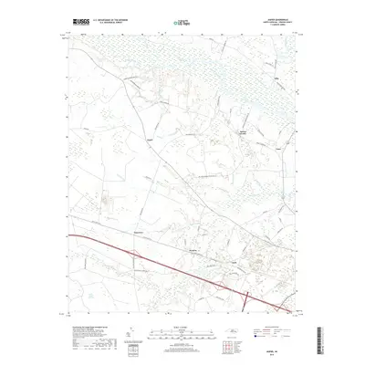
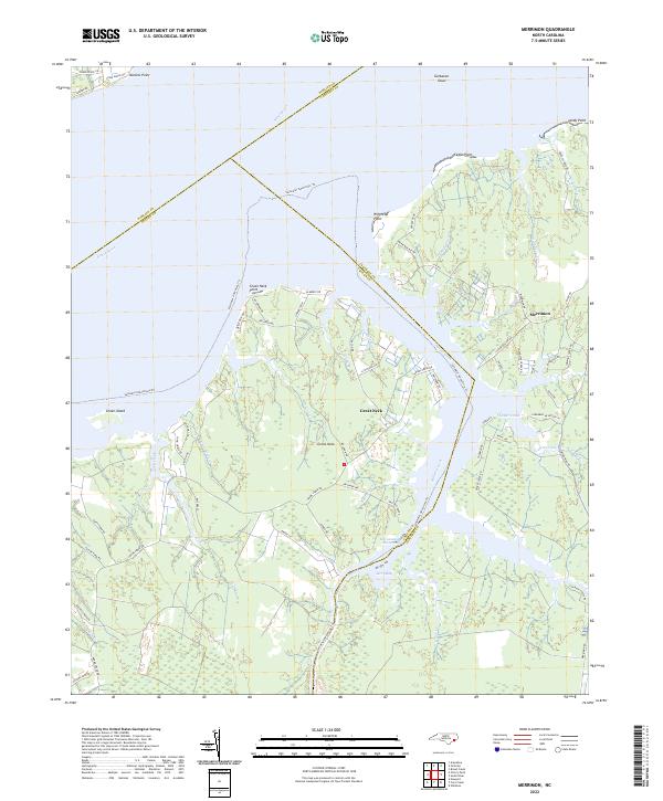
1949 Merrimon
Craven County, NC
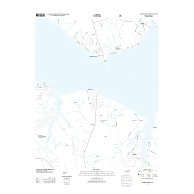
1951 Cherry Point
Craven County, NC
1951 Merrimon
Craven County, NC

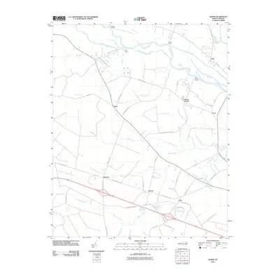
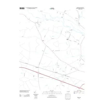
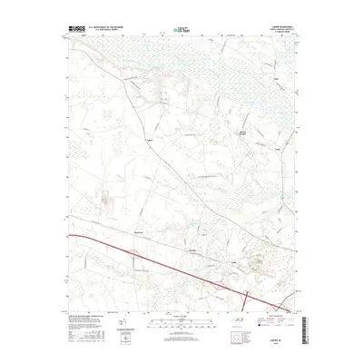
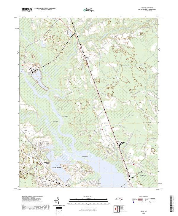
1978 Askin
Craven County, NC
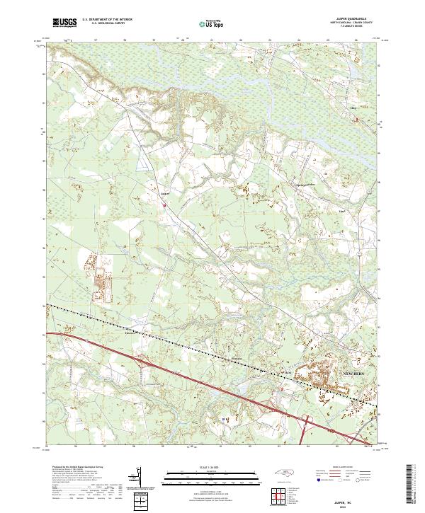
1978 Jasper
Craven County, NC
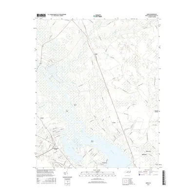
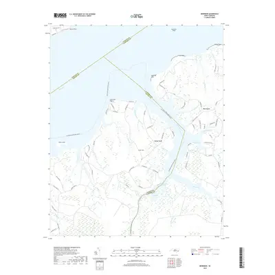
1983 Ernul
Craven County, NC
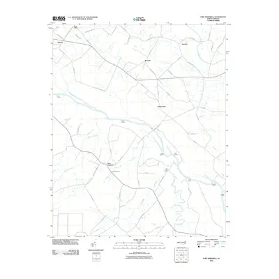
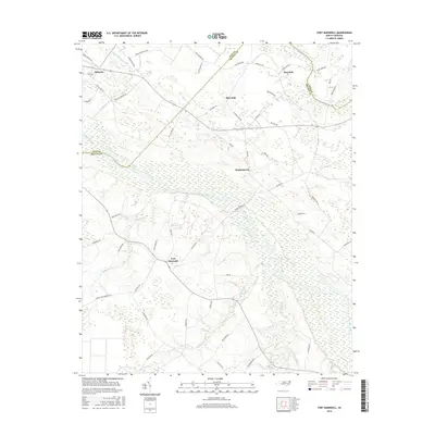
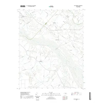
1983 Fort Barnwell
Craven County, NC
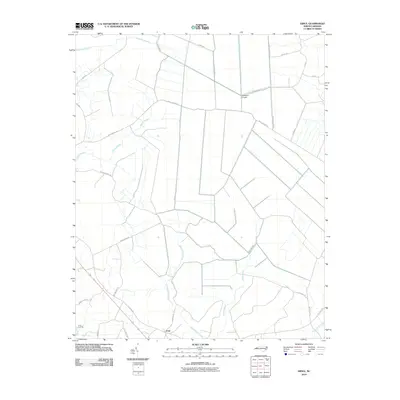
1984 Catfish Lake
Craven County, NC
1994 Catfish Lake
Craven County, NC
1994 Cherry Point
Craven County, NC
1998 Ernul
Craven County, NC
2010 Askin
Craven County, NC
2010 Ernul
Craven County, NC
2010 Fort Barnwell
Craven County, NC
2010 Jasper
Craven County, NC
2010 Merrimon
Craven County, NC
2011 Catfish Lake
Craven County, NC
2011 Cherry Point
Craven County, NC
2013 Askin
Craven County, NC
2013 Catfish Lake
Craven County, NC
2013 Cherry Point
Craven County, NC
2013 Ernul
Craven County, NC
2013 Fort Barnwell
Craven County, NC
2013 Jasper
Craven County, NC
2013 Merrimon
Craven County, NC
2016 Askin
Craven County, NC
2016 Catfish Lake
Craven County, NC
2016 Cherry Point
Craven County, NC

2016 Ernul
Craven County, NC
2016 Fort Barnwell
Craven County, NC
2016 Jasper
Craven County, NC
2016 Merrimon
Craven County, NC
2019 Askin
Craven County, NC
2019 Catfish Lake
Craven County, NC
2019 Cherry Point
Craven County, NC
2019 Ernul
Craven County, NC
2019 Fort Barnwell
Craven County, NC
2019 Jasper
Craven County, NC
2019 Merrimon
Craven County, NC
2022 Askin
Craven County, NC
2022 Catfish Lake
Craven County, NC
2022 Cherry Point
Craven County, NC
2022 Ernul
Craven County, NC
2022 Fort Barnwell
Craven County, NC
2022 Jasper
Craven County, NC
2022 Merrimon
Craven County, NC