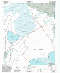
1994 Map of Catfish Lake
USGS Topo · Published 1997About this map
Catfish Lake and its surrounding wetlands define this portion of the Croatan National Forest in the mid-1990s. The landscape is characterized by its significant hydrological features, including the shallow basins of Great Lake and Long Lake, which anchor the southern and eastern edges of the quadrangle. This area serves as a critical drainage basin for the Brice Creek system, with several tributaries such as West Prong Brice Creek and Little Briery Branch shown feeding into the larger creek network.
Find a feature on this map
21 named features on this map. Tap any name to fly to it.
Don’t see what you’re looking for? This feature index may not catch every label — zoom into the map to look around manually.
Map Details
Editions of this 1994 Catfish Lake Map
2 editions found
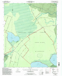
Other maps of this area

1901 · New Bern
USGS Topo · 1:62,500

1903 · New Bern
USGS Topo · 1:62,500

1942 · Maysville
USGS Topo · 1:62,500

1948 · Maysville
USGS Topo · 1:62,500

1949 · Havelock
USGS Topo · 1:24,000

1949 · Masontown
USGS Topo · 1:24,000

1950 · Pollocksville
USGS Topo · 1:24,000

1950 · New Bern
USGS Topo · 1:24,000

1950 · Upper Broad Creek
USGS Topo · 1:24,000

1951 · Masontown
USGS Topo · 1:24,000