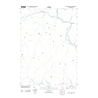
2013 Map of Cathead Mountain
USGS Topo · Published 2013About this map
Blackbridge and Pumpkin Hollow anchor the northern landscape where the W Br Sacandaga River and the main Sacandaga River wind through the Adirondack foothills. This early 21st-century survey reveals a territory defined by complex drainage patterns and isolated peaks, such as Cathead Mtn and Finch Mtn. Water moves through the terrain via numerous named tributaries like Devorse Cr, Hatch Brook, and Jack Green Cr, feeding into significant bodies such as Woods Lake and Grant Lake.
Find a feature on this map
56 named features on this map. Tap any name to fly to it.
Don’t see what you’re looking for? This feature index may not catch every label — zoom into the map to look around manually.
Map Details
Editions of this 2013 Cathead Mountain Map
This is the sole edition of this map. No revisions or reprints were ever made.
Other maps of this area

1899 · Broadalbin
USGS Topo · 1:62,500

1902 · Broadalbin
USGS Topo · 1:62,500

1903 · Gloversville
USGS Topo · 1:62,500

1907 · Lake Pleasant
USGS Topo · 1:62,500

1910 · Stony Creek
USGS Topo · 1:62,500

1943 · Gloversville
USGS Topo · 1:62,500

1945 · Caroga Lake
USGS Topo · 1:24,000

1945 · Northville
USGS Topo · 1:24,000
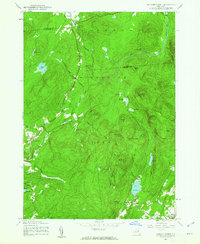
1945 · Jackson Summit
USGS Topo · 1:24,000
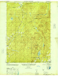
1946 · Jackson Summit
USGS Topo · 1:24,000