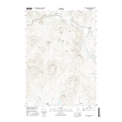
2016 Map of Cathead Mountain
USGS Topo · Published 2016About this map
The Sacandaga River and its West Branch anchor this topographic survey of Hamilton County, where the southern Adirondack wilderness meets small riverside hamlets. The settlement of Wells occupies the northern valley, while smaller communities like Pumpkin Hollow and Blackbridge are clustered along the river corridors. The terrain is defined by a dense concentration of named peaks, including Cathead Mtn, Three Ponds Mtn, and the curiously named Big Popple and Little Popple.
Find a feature on this map
60 named features on this map. Tap any name to fly to it.
Don’t see what you’re looking for? This feature index may not catch every label — zoom into the map to look around manually.
Map Details
Editions of this 2016 Cathead Mountain Map
This is the sole edition of this map. No revisions or reprints were ever made.
Other maps of this area

1899 · Broadalbin
USGS Topo · 1:62,500

1902 · Broadalbin
USGS Topo · 1:62,500

1903 · Gloversville
USGS Topo · 1:62,500

1907 · Lake Pleasant
USGS Topo · 1:62,500

1910 · Stony Creek
USGS Topo · 1:62,500

1943 · Gloversville
USGS Topo · 1:62,500

1945 · Caroga Lake
USGS Topo · 1:24,000

1945 · Northville
USGS Topo · 1:24,000
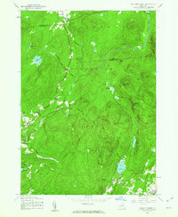
1945 · Jackson Summit
USGS Topo · 1:24,000
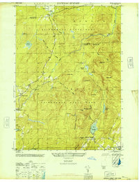
1946 · Jackson Summit
USGS Topo · 1:24,000