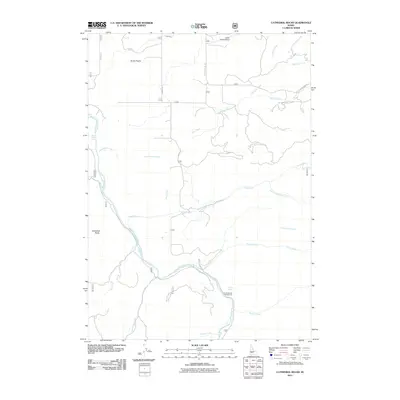
2011 Map of Cathedral Rocks
USGS Topo · Published 2011About this map
Smith Prairie serves as the central high-ground feature of this landscape, punctuated by the remote Smith Prairie Airport. The region's geography is defined by the deep drainage of the South Fork Boise River, which carves through the western and southern reaches of the map. This river corridor is fed by a complex network of seasonal and perennial streams including Dead Horse Creek, Rock Creek, and Mennecke Creek. The presence of the Pierce Ditch in the north indicates a history of managed water distribution for this high-desert plateau.
Find a feature on this map
25 named features on this map. Tap any name to fly to it.
Don’t see what you’re looking for? This feature index may not catch every label — zoom into the map to look around manually.
Map Details
Editions of this 2011 Cathedral Rocks Map
This is the sole edition of this map. No revisions or reprints were ever made.
Other maps of this area

1892 · Mountain Home
USGS Topo · 1:125,000

1892 · Camas Prairie
USGS Topo · 1:125,000

1893 · Mountain Home
USGS Topo · 1:125,000

1893 · Camas Prairie
USGS Topo · 1:125,000

1894 · Idaho Basin
USGS Topo · 1:125,000

1894 · Rocky Bar
USGS Topo · 1:125,000

1955 · Hailey
USGS Topo · 1:250,000

1959 · Hailey
USGS Topo · 1:250,000

1960 · Danskin Peak
USGS Topo · 1:62,500

1962 · Hailey
USGS Topo · 1:250,000