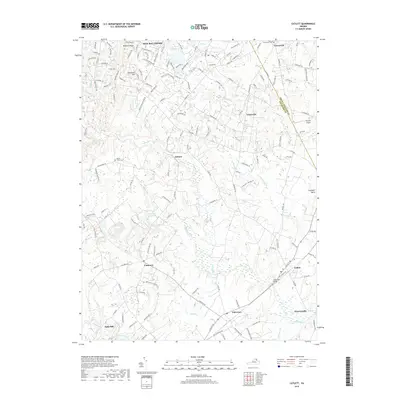
2019 Map of Catlett
USGS Topo · Published 2019About this map
Casanova and Catlett anchor the southeastern portion of this landscape, where the rural character of Fauquier County meets the edge of the Culpeper Basin. The terrain is defined by a dense network of waterways including Kettle Run, Cedar Run, and Licking Run, which historically influenced the placement of early industry such as Balls Mill. In the north, New Baltimore and Greenwich sit near the boundary with Prince William County, connected by a network of established routes like Casanova Rd and Catlett Rd. Local history is preserved in sites like Poplar Forks Cem and Greenwich Cem, while the inclusion of the Skyview Airport and the Cedar Run Bridge highlights the area's continued role as a transit corridor. The topography ranges from the elevations of Luntsfords Mtn to the farm ponds and stream valleys that characterize this part of the Virginia Piedmont.
Find a feature on this map
31 named features on this map. Tap any name to fly to it.
Don’t see what you’re looking for? This feature index may not catch every label — zoom into the map to look around manually.
Map Details
Editions of this 2019 Catlett Map
This is the sole edition of this map. No revisions or reprints were ever made.
Other maps of this area

1894 · Warrenton
USGS Topo · 1:125,000

1894 · Warrenton
USGS Topo · 1:62,500

1927 · Remington
USGS Topo · 1:48,000

1930 · Warrenton
USGS Topo · 1:62,500

1933 · Middleburg
USGS Topo · 1:62,500

1943 · Catlett
USGS Topo · 1:62,500

1943 · Thorofare Gap
USGS Topo · 1:24,000

1943 · Midland
USGS Topo · 1:24,000

1943 · Marshall
USGS Topo · 1:24,000
1944 · Midland
USGS Topo · 1:31,680