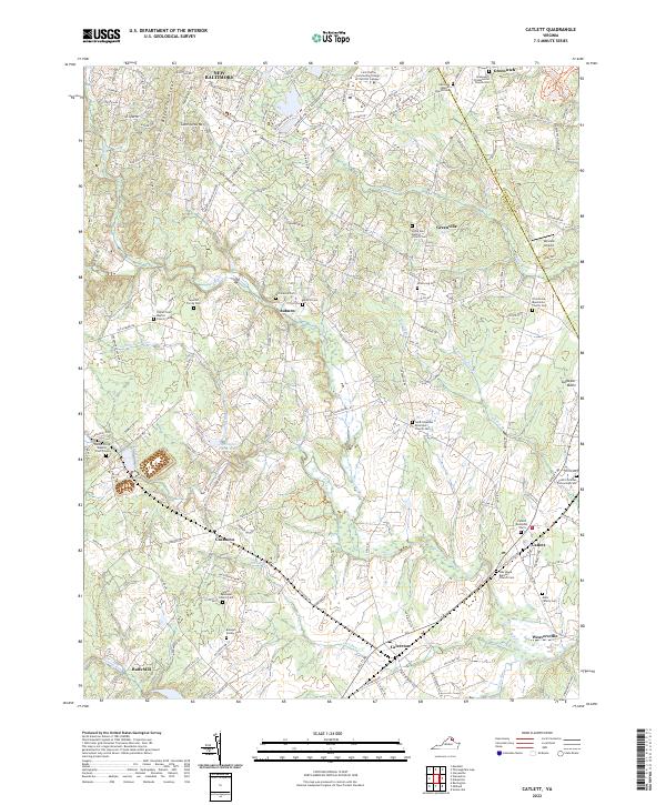
2022 Map of Catlett
USGS Topo · Published 2022About this map
New Baltimore and the surrounding Fauquier County countryside appear here as a landscape of rural junctions and small settlements connected by a dense network of country roads. The area is heavily defined by its numerous small burial grounds and places of worship, including the Tapscott Family Cem, Grace Episcopal Church Cem, and the Oak Shade Baptist Church near Catlett. These sites, along with landmarks like Balls Mill and Weaversville, speak to a long-established community structure where family-named plots are as much a part of the geography as the waterways.
Find a feature on this map
170 named features on this map. Tap any name to fly to it.
Don’t see what you’re looking for? This feature index may not catch every label — zoom into the map to look around manually.
Map Details
Editions of this 2022 Catlett Map
This is the sole edition of this map. No revisions or reprints were ever made.
Other maps of this area

1894 · Warrenton
USGS Topo · 1:125,000

1894 · Warrenton
USGS Topo · 1:62,500

1927 · Remington
USGS Topo · 1:48,000

1930 · Warrenton
USGS Topo · 1:62,500

1933 · Middleburg
USGS Topo · 1:62,500

1943 · Catlett
USGS Topo · 1:62,500

1943 · Thorofare Gap
USGS Topo · 1:24,000

1943 · Midland
USGS Topo · 1:24,000

1943 · Marshall
USGS Topo · 1:24,000
1944 · Midland
USGS Topo · 1:31,680