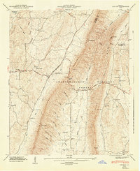
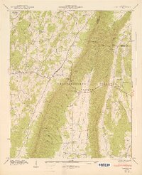
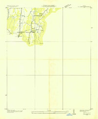
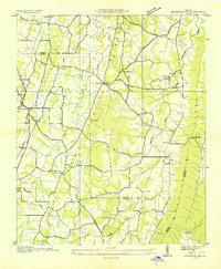
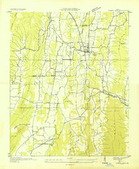
1947 Map of Catlett
USGS Topo · Published 1947About this map
Taylor Ridge dominates this 1946 field study of the north Georgia highlands, carving a sharp divide through the Chattahoochee National Forest. The landscape is defined by the steep contrast between the high ridges and the agricultural activity concentrated in the West Armuchee Valley and Tennessee Valley. Local life in this era revolved around small rural centers like Naomi and Catlett, supported by a network of one-room educational and spiritual sites including Hickory Hill Sch, Corinth Sch, and Mt Zion Ch.
Find a feature on this map
72 named features on this map. Tap any name to fly to it.
Don’t see what you’re looking for? This feature index may not catch every label — zoom into the map to look around manually.
Map Details
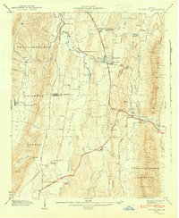
Editions of this 1947 Catlett Map
2 editions found
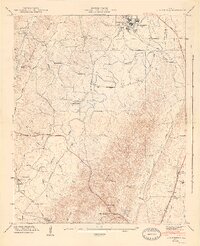
Other maps of this area

1886 · Ringgold
USGS Topo · 1:125,000

1892 · Ringgold
USGS Topo · 1:125,000

1935 · Catlett
USGS Topo · 1:24,000
1935 · Villanow
USGS Topo · 1:24,000
1935 · Nickajack Gap
USGS Topo · 1:24,000
1935 · Tunnel Hill
USGS Topo · 1:24,000

1936 · Kensington
USGS Topo · 1:24,000

1936 · Estelle
USGS Topo · 1:24,000
1943 · Tunnel Hill
USGS Topo · 1:24,000
1946 · Kensington
USGS Topo · 1:24,000