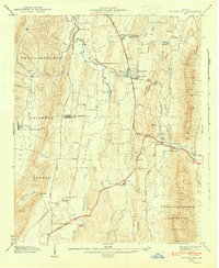
1943 Map of Tunnel Hill
USGS Topo · Published 1946About this map
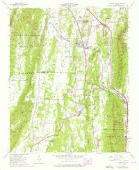
Tunnel Hill serves as a focal point in the northern Georgia landscape, situated where the Chattanooga and Nashville Railroad pierces through the Tunnel Hill Ridge. This wartime-era survey illustrates a community deeply tied to its mountain geography and local industries, evidenced by both the Callaway Mill on Tanyard Creek and Hassler Mill nestled near Mill Creek Gap. The terrain is defined by a series of north-south ridges, including Taylor Ridge and Dick Ridge, which separate the fertile valleys where many local congregations established themselves.
Find a feature on this map
55 named features on this map. Tap any name to fly to it.
Don’t see what you’re looking for? This feature index may not catch every label — zoom into the map to look around manually.
Map Details
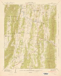
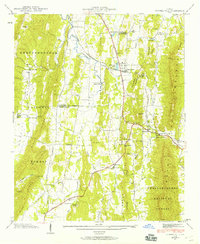
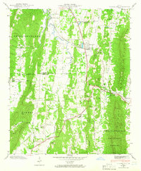
Editions of this 1943 Tunnel Hill Map
5 editions found
Other maps of this area

1886 · Dalton
USGS Topo · 1:125,000

1886 · Ringgold
USGS Topo · 1:125,000

1892 · Ringgold
USGS Topo · 1:125,000

1892 · Dalton
USGS Topo · 1:125,000

1897 · Dalton
USGS Topo · 1:125,000

1935 · Catlett
USGS Topo · 1:24,000

1935 · East Ridge
USGS Topo · 1:24,000
1935 · Tiger Creek
USGS Topo · 1:24,000

1935 · Villanow
USGS Topo · 1:24,000

1935 · Ringgold
USGS Topo · 1:24,000