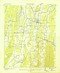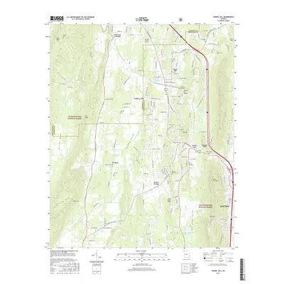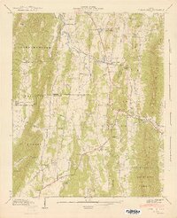
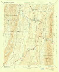
1943 Map of Tunnel Hill
USGS Topo · Published 1946About this map
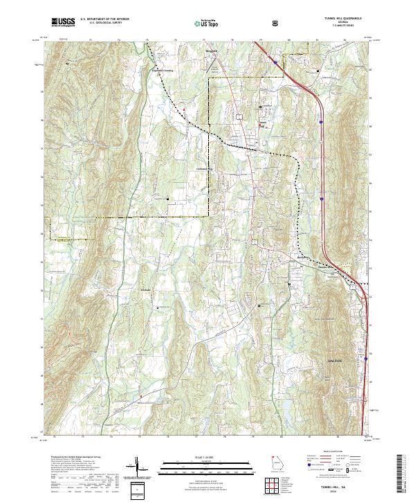
Taylor Ridge and Rocky Face Mountain frame this 1940s landscape, illustrating a classic North Georgia pattern of settlements tucked into fertile gaps and valleys. The St Louis and Nashville Tennessee Railroad dictates the local geography, passing through its namesake passage at Tunnel Hill and through Mill Creek Gap. Small rural centers such as Trickum and Rocky Face serve as anchors for a dispersed farming community, evidenced by a dense network of country schools and houses of worship like Stony Point Sch and Dogwood Ch. Along the banks of East Chickamauga Creek and Mill Creek, the presence of Callaway Mill and Hassler Mill highlights the local dependence on water-powered industry during this era. This topographic record captures the transition of the region as the Dixie Highway began to supplement the old rail-and-river economy.
Find a feature on this map
50 named features on this map. Tap any name to fly to it.
Don’t see what you’re looking for? This feature index may not catch every label — zoom into the map to look around manually.
Map Details
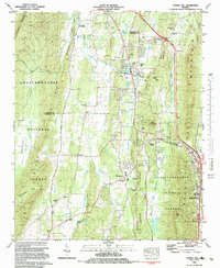
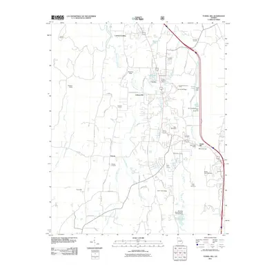
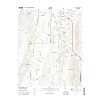
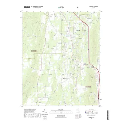
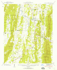
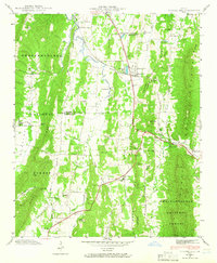
Editions of this 1943 Tunnel Hill Map
5 editions found

Historical Maps of Dalton Through Time
8 maps found