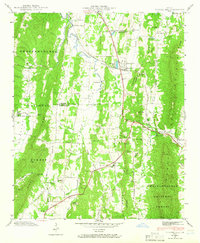
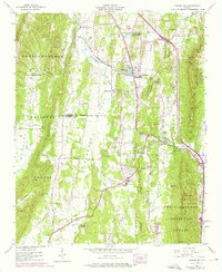
1943 Map of Tunnel Hill
USGS Topo · Published 1965About this map
Tunnel Hill serves as a focal point for this 1943 survey, situated along the historic rail passage through the Chetoo Geta Mountain Tunnel. This section of Georgia’s Ridge and Valley province is defined by the sharp parallel lines of Taylor Ridge and Dick Ridge, which dictated the early transportation corridors including the Dixie Highway. The rural landscape is dotted with small-scale agrarian and industrial operations such as Callaway Mill and Hassler Mill, while family-named landmarks like Dedmon Cem and Foster Cem provide evidence of early settlement patterns in the Stony Point Valley. Community life centers on locations like Houston Valley Ch and Stony Point Sch, tucked between the slopes of the Chattahoochee National Forest. The geography reveals a complex network of springs and branches, including Freeman Spring and the East Chickamauga Creek, which supported these remote communities during the mid-20th century.
Find a feature on this map
73 named features on this map. Tap any name to fly to it.
Don’t see what you’re looking for? This feature index may not catch every label — zoom into the map to look around manually.
Map Details
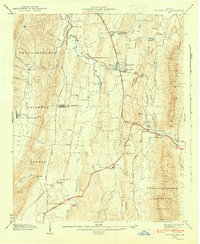
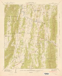
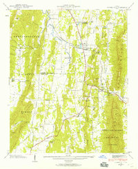
Editions of this 1943 Tunnel Hill Map
5 editions found
Other maps of this area

1886 · Dalton
USGS Topo · 1:125,000

1886 · Ringgold
USGS Topo · 1:125,000

1892 · Ringgold
USGS Topo · 1:125,000

1892 · Dalton
USGS Topo · 1:125,000

1897 · Dalton
USGS Topo · 1:125,000

1935 · Catlett
USGS Topo · 1:24,000

1935 · East Ridge
USGS Topo · 1:24,000
1935 · Tiger Creek
USGS Topo · 1:24,000

1935 · Villanow
USGS Topo · 1:24,000

1935 · Ringgold
USGS Topo · 1:24,000