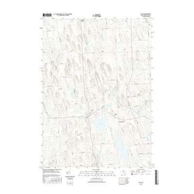
2016 Map of Cato
USGS Topo · Published 2016About this map
Cato and Meridian sit at the heart of this central New York landscape, where the terrain is defined by a dense network of glacial drumlins and interconnected wetlands. The map shows a traditional agricultural pattern of small settlements and crossroad hamlets such as Bethel Corners and Ira. Extensive water features, including Parker Pond, Otter Lake, and the edges of Cross Lake, dominate the southern half of the quadrangle, while Muskrat Cr and Sterling Valley Cr drain the surrounding hills.
Find a feature on this map
90 named features on this map. Tap any name to fly to it.
Don’t see what you’re looking for? This feature index may not catch every label — zoom into the map to look around manually.
Map Details
Editions of this 2016 Cato Map
This is the sole edition of this map. No revisions or reprints were ever made.
Other maps of this area

1900 · Baldwinsville
USGS Topo · 1:62,500

1900 · Oswego
USGS Topo · 1:62,500

1900 · Fulton
USGS Topo · 1:62,500

1902 · Weedsport
USGS Topo · 1:62,500

1943 · Jordan
USGS Topo · 1:31,680

1943 · Lysander
USGS Topo · 1:31,680

1943 · Montezuma
USGS Topo · 1:31,680

1943 · Cato
USGS Topo · 1:31,680

1943 · Hannibal
USGS Topo · 1:31,680

1943 · Weedsport
USGS Topo · 1:31,680