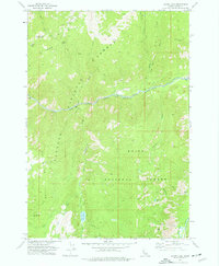
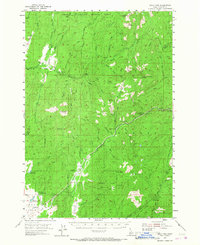
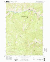
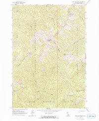
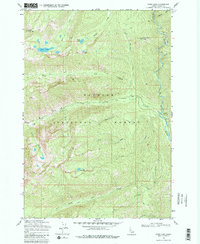
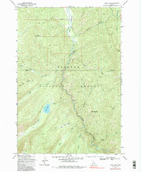
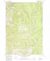
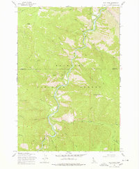
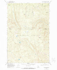
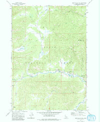
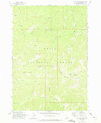
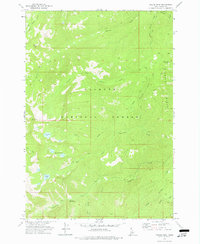
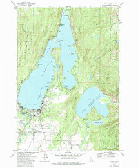
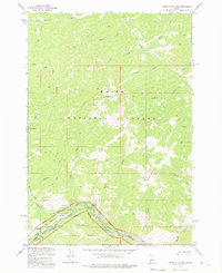
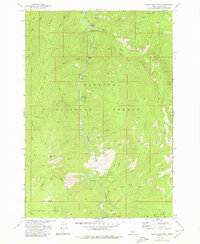
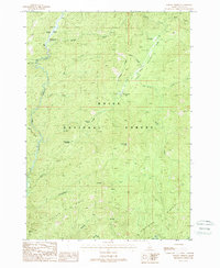
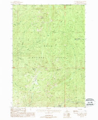
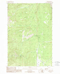
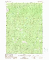
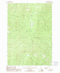
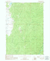
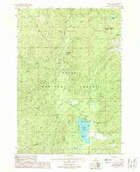
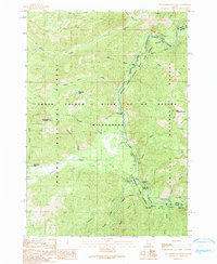
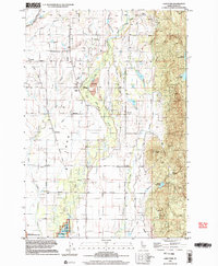
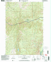
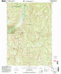
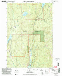
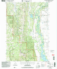
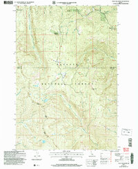
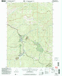
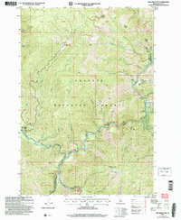
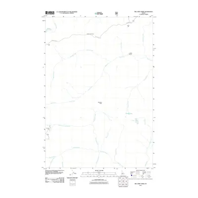
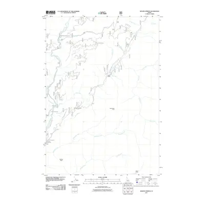
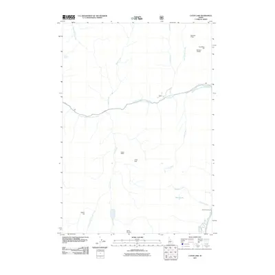
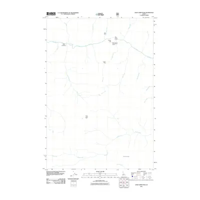
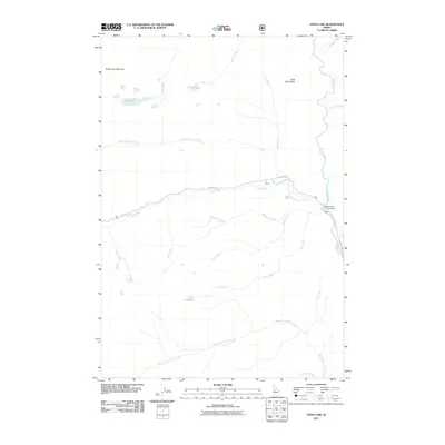
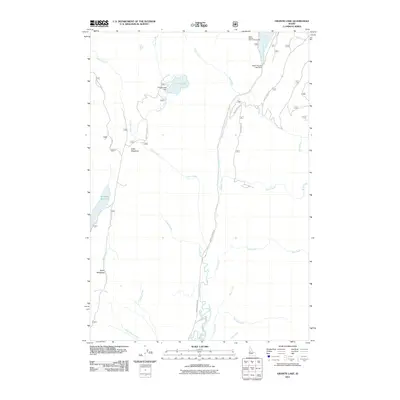
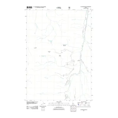
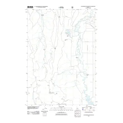
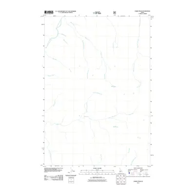
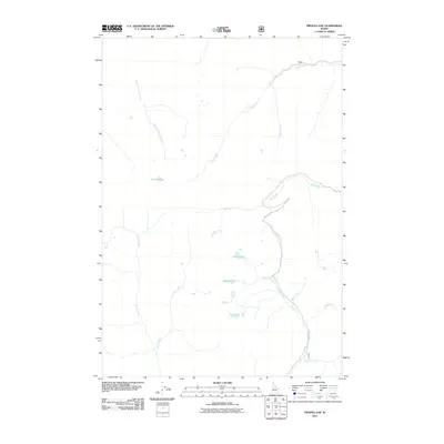
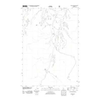
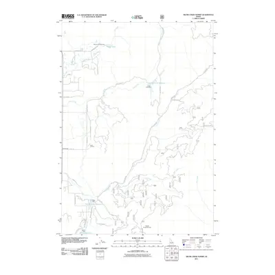
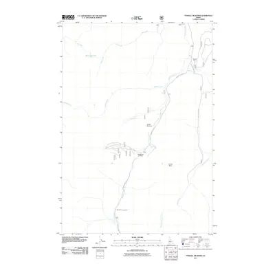
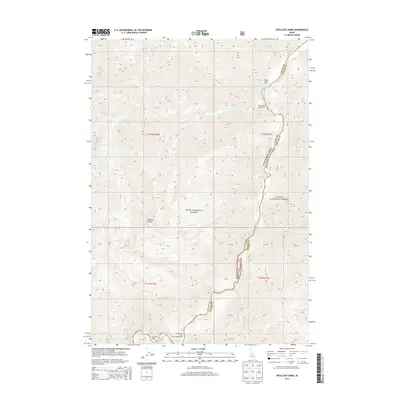
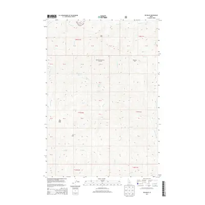
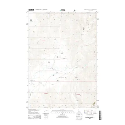
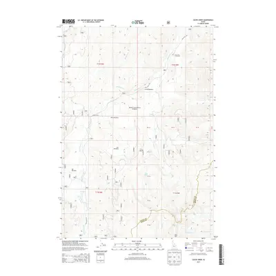
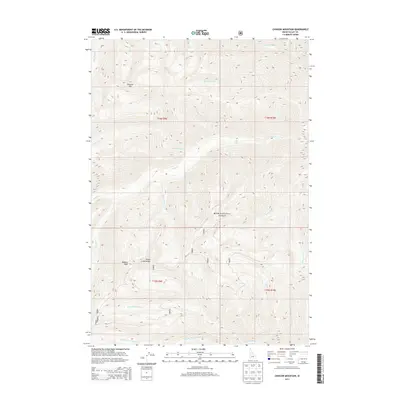
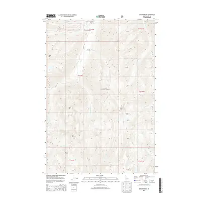
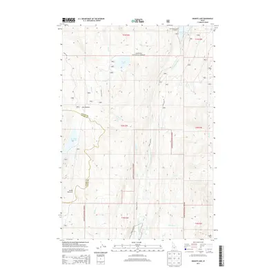
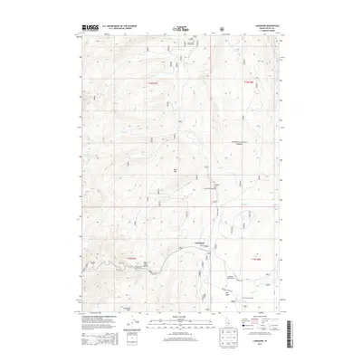
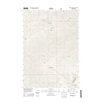
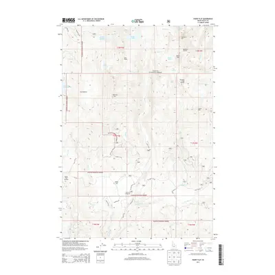
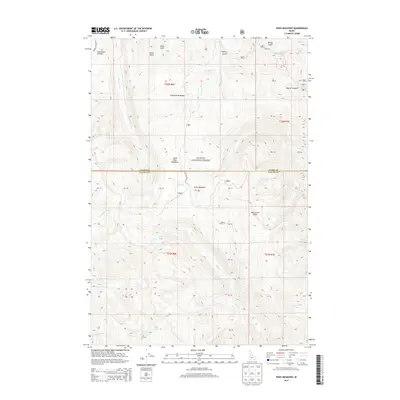
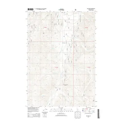
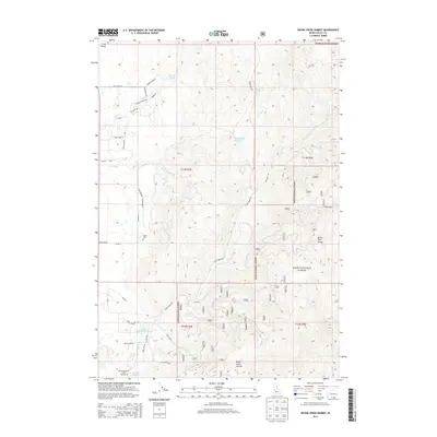
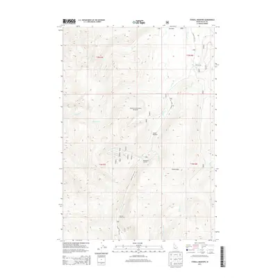
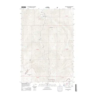
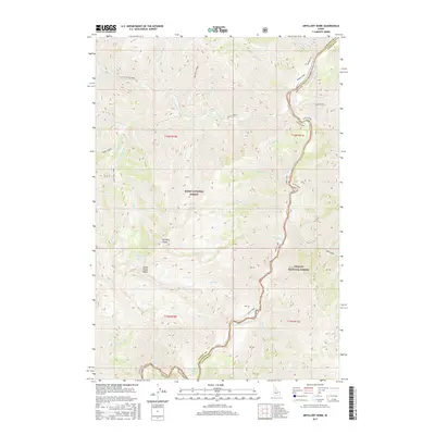
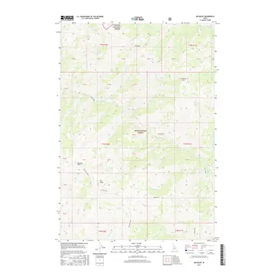
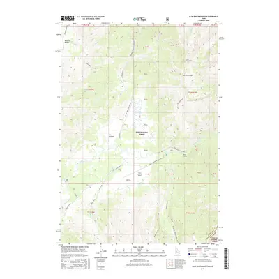
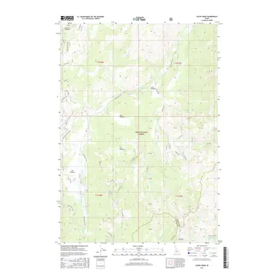
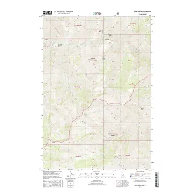
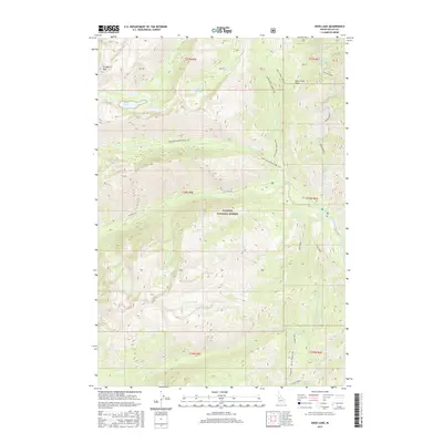
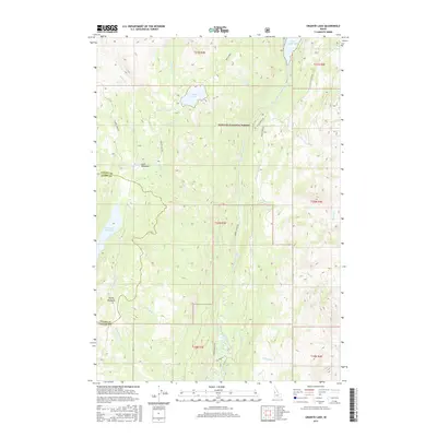
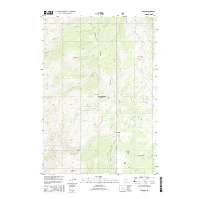
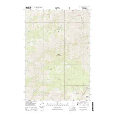
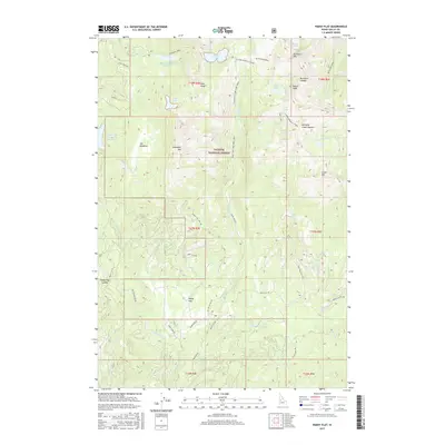
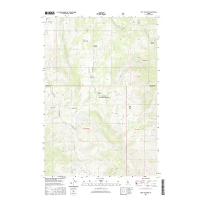
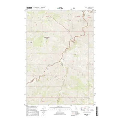
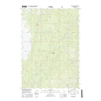
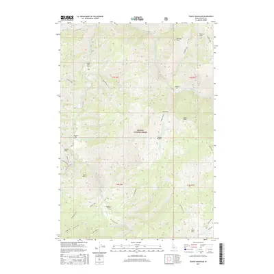
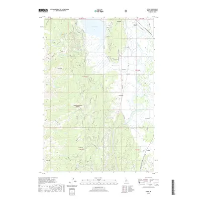
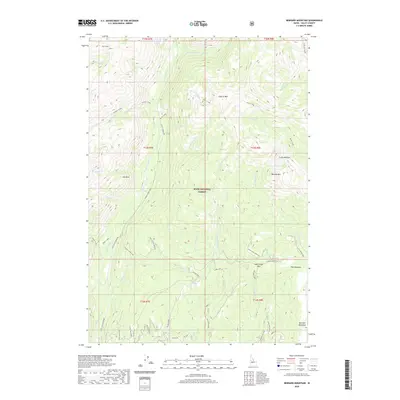
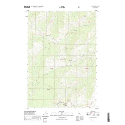
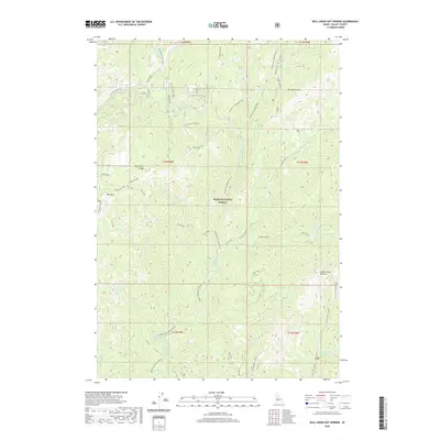
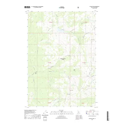
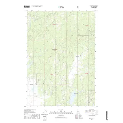
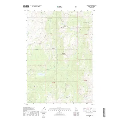
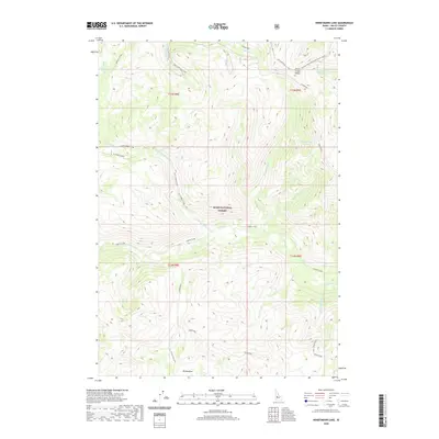
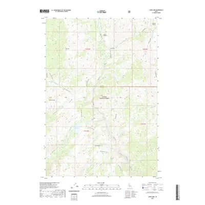
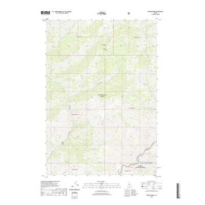
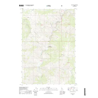
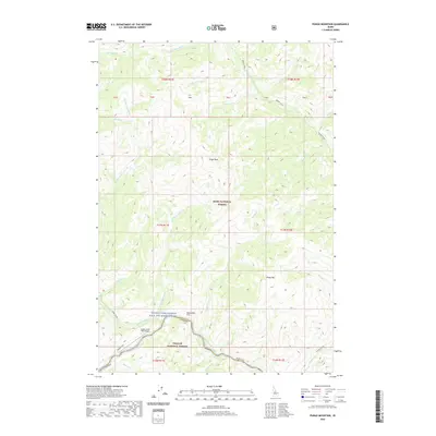
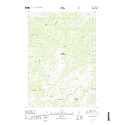
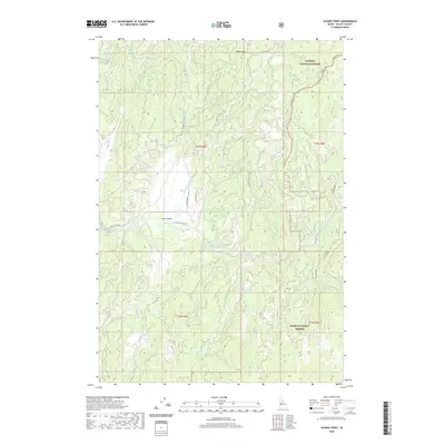
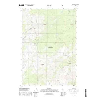
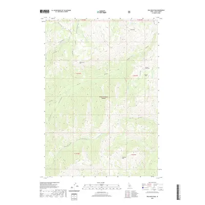
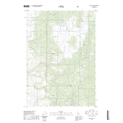
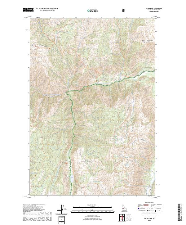
1973 Map of Caton Lake
USGS Topo · Published 1977About this map
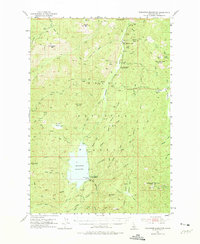
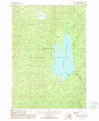
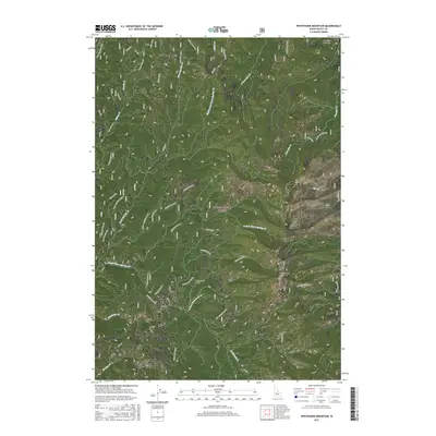
Payette National Forest and Boise National Forest meet in this high-altitude landscape, where the South Fork Salmon River and its various tributaries carve through steep terrain. The area is defined by its network of high-country landmarks and remote water sources, including the namesake Caton Lake and the smaller Marion Lake. The presence of the Rainbow Trail and various unnamed pack trails suggests a landscape managed for wilderness access and fire lookout, centered around prominent heights like Indian Peak and Sawpit Hill.
Find a feature on this map
31 named features on this map. Tap any name to fly to it.
Don’t see what you’re looking for? This feature index may not catch every label — zoom into the map to look around manually.
Map Details
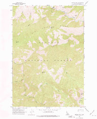
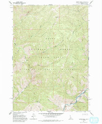
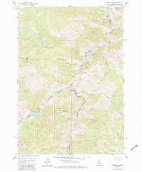
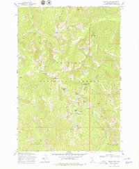
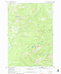
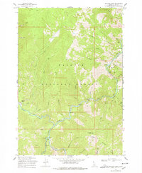
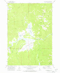
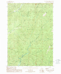
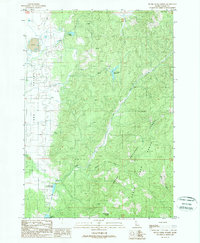
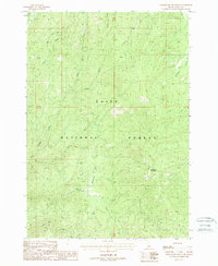
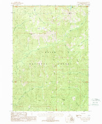
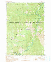
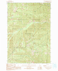
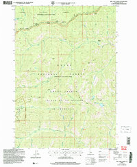
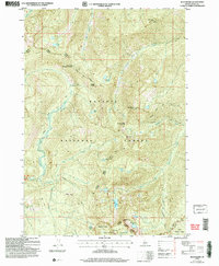
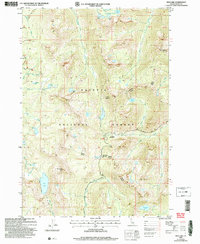
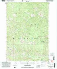
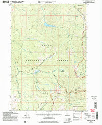
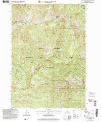
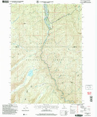
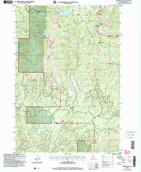
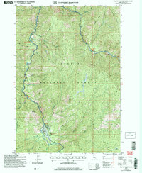
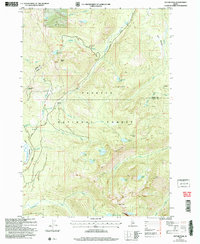
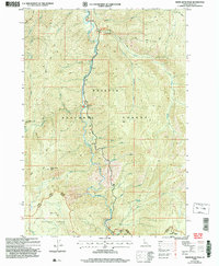
Editions of this 1973 Caton Lake Map
This is the sole edition of this map. No revisions or reprints were ever made.
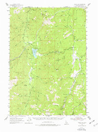
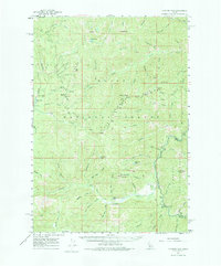
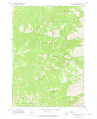
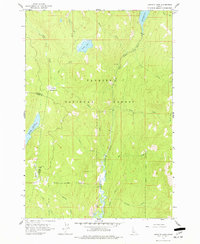
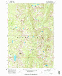
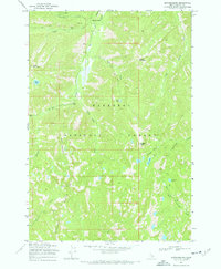
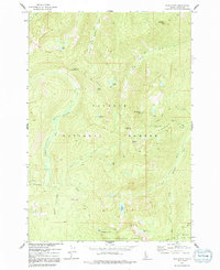
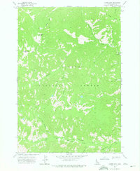
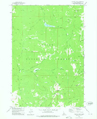
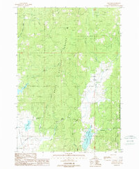
Historical Maps of Valley County Through Time
416 maps found
1937 Big Creek
Valley County, ID

1942 Big Creek
Valley County, ID
1953 Boiling Springs
Valley County, ID
1953 Deadwood Reservoir
Valley County, ID
1954 Gold Fork
Valley County, ID
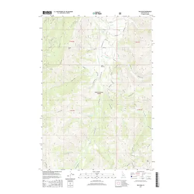
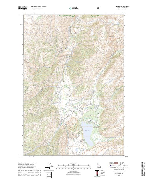
1954 Warm Lake
Valley County, ID
1961 Chinook Mtn
Valley County, ID
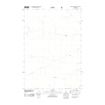
1962 Bear Creek Point
Valley County, ID
1962 Dave Lewis Peak
Valley County, ID
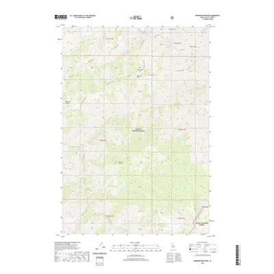
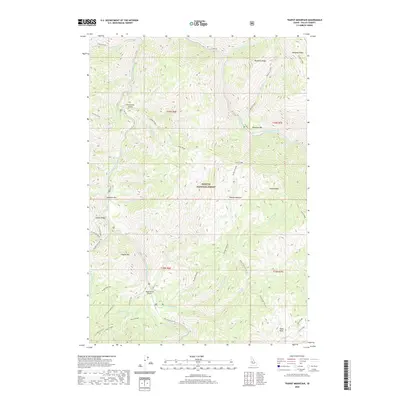
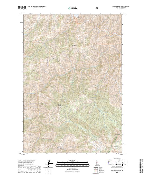
1962 Mormon Mtn
Valley County, ID
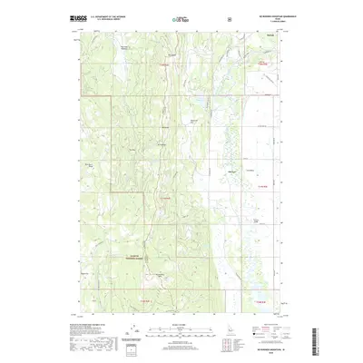
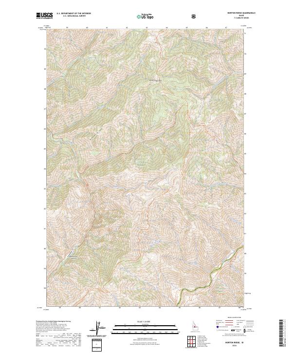
1962 Norton Ridge
Valley County, ID
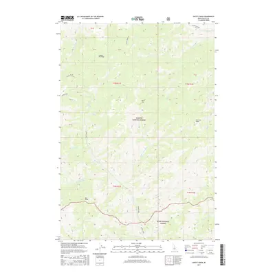
1962 Ramey Hill
Valley County, ID
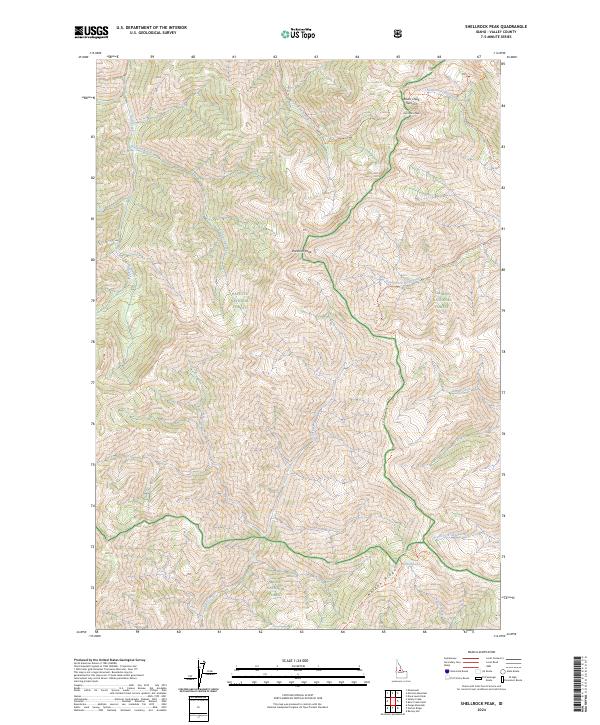
1962 Shellrock Peak
Valley County, ID
1963 Granite Lake
Valley County, ID
1969 Box Lake
Valley County, ID
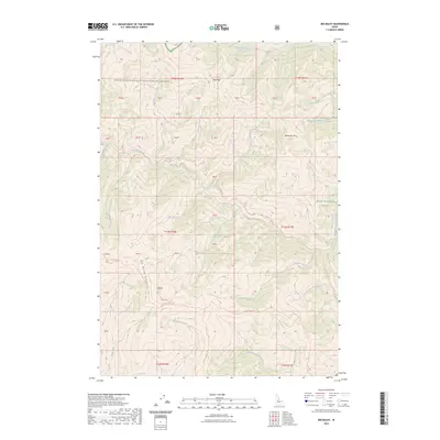
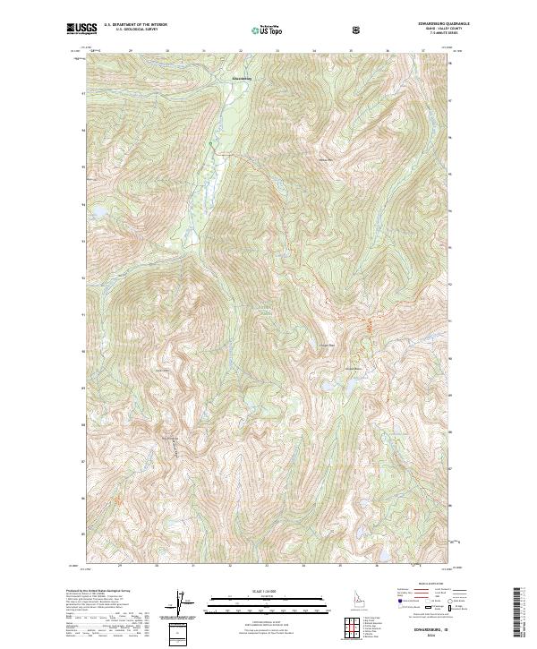
1969 Edwardsburg
Valley County, ID
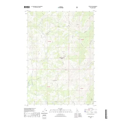
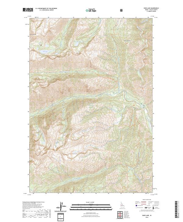
1969 Enos Lake
Valley County, ID
1969 Loon Lake
Valley County, ID
1969 Parks Peak
Valley County, ID
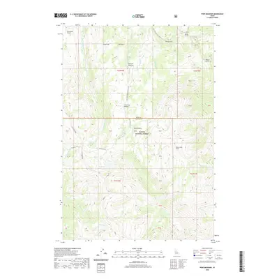
1969 Pilot Peak
Valley County, ID
1969 Pony Meadows
Valley County, ID
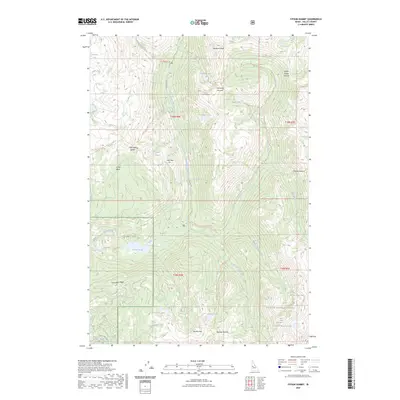
1969 Profile Gap
Valley County, ID
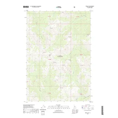
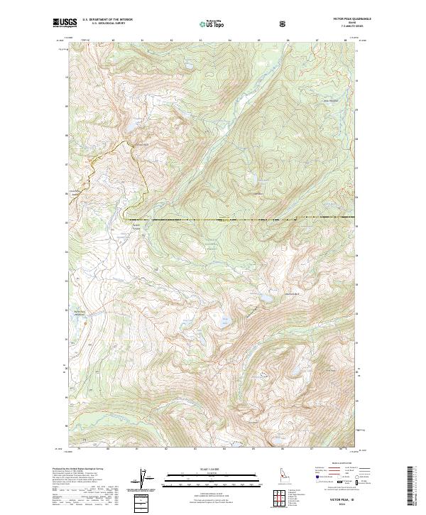
1969 Victor Peak
Valley County, ID
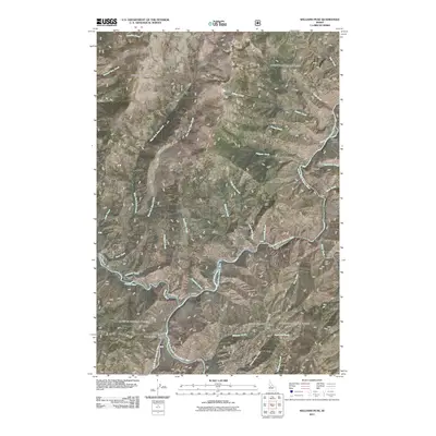
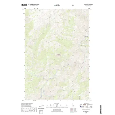
1969 Williams Peak
Valley County, ID
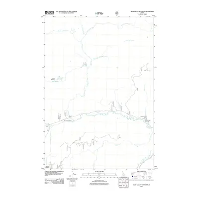
1972 Bear Valley Mtn
Valley County, ID
1972 Blue Bunch Mtn
Valley County, ID
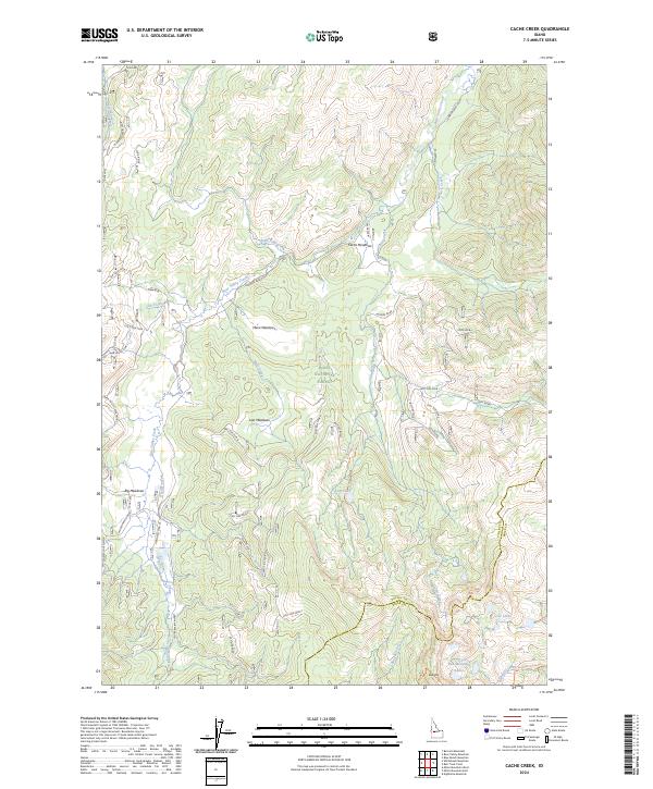
1972 Cache Creek
Valley County, ID
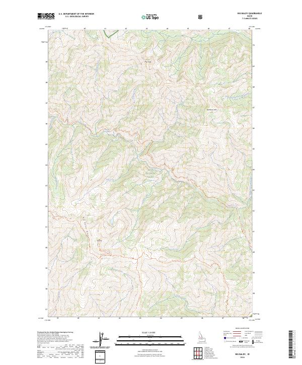
1973 Big Baldy
Valley County, ID
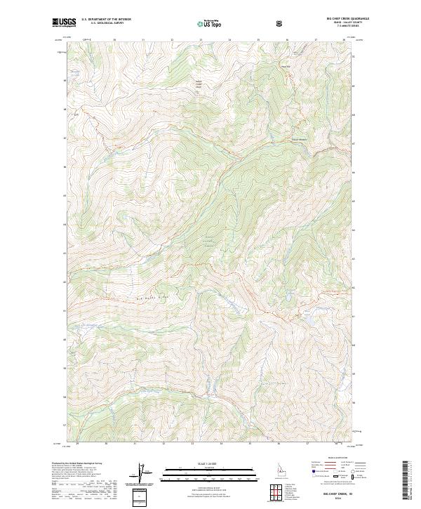
1973 Big Chief Creek
Valley County, ID
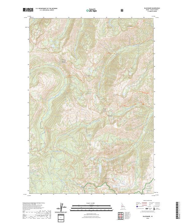
1973 Blackmare
Valley County, ID
1973 Caton Lake
Valley County, ID
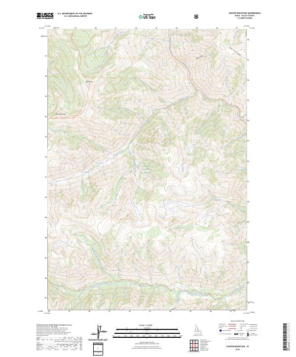
1973 Center Mtn
Valley County, ID
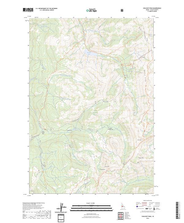
1973 Chilcoot Peak
Valley County, ID
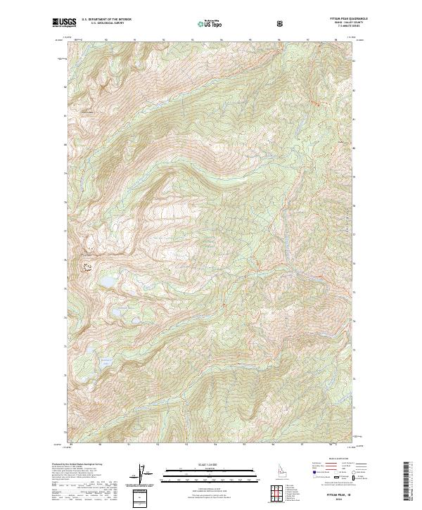
1973 Fitsum Peak
Valley County, ID
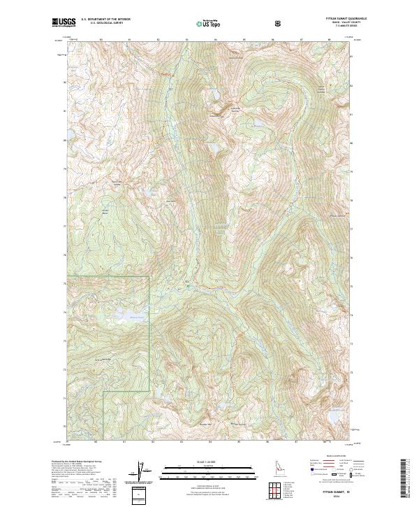
1973 Fitsum Summit
Valley County, ID
1973 Lake Fork
Valley County, ID
1973 Log Mountain
Valley County, ID
1973 Mc Call
Valley County, ID
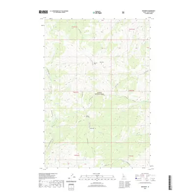
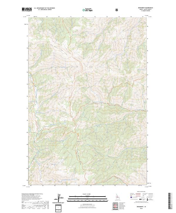
1973 Monument
Valley County, ID
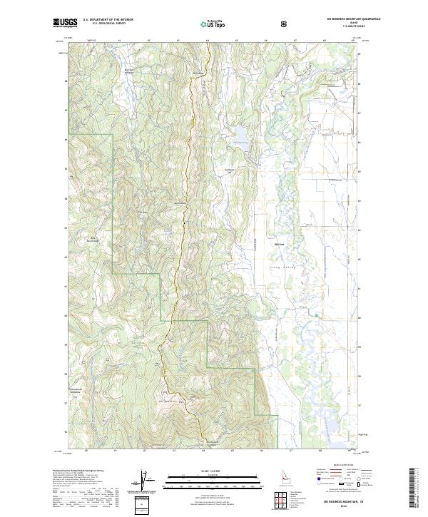
1973 No Business Mountain
Valley County, ID
1973 Paddy Flat
Valley County, ID
1973 Pungo Mountain
Valley County, ID
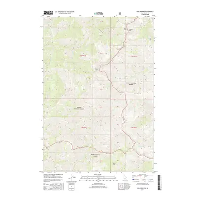
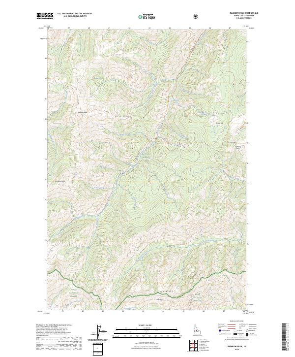
1973 Rainbow Peak
Valley County, ID
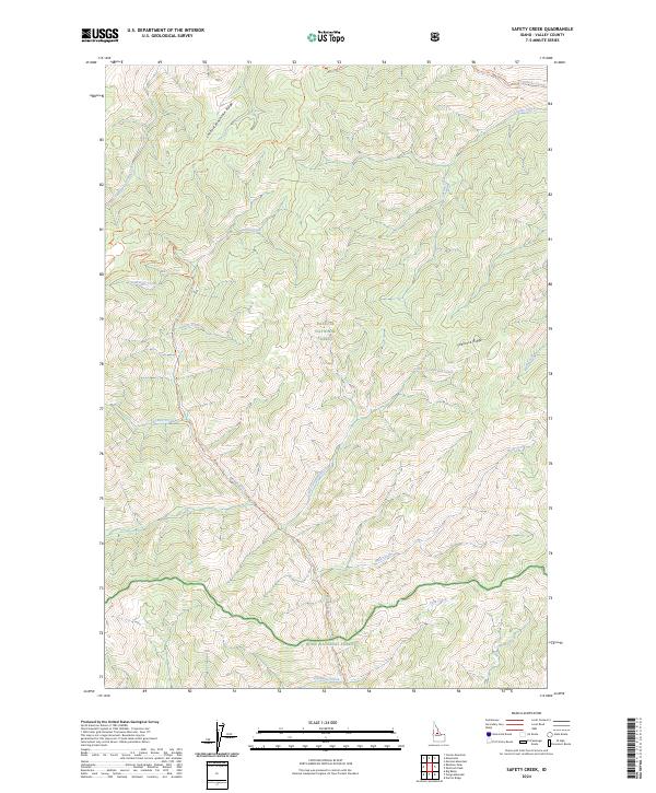
1973 Safety Creek
Valley County, ID
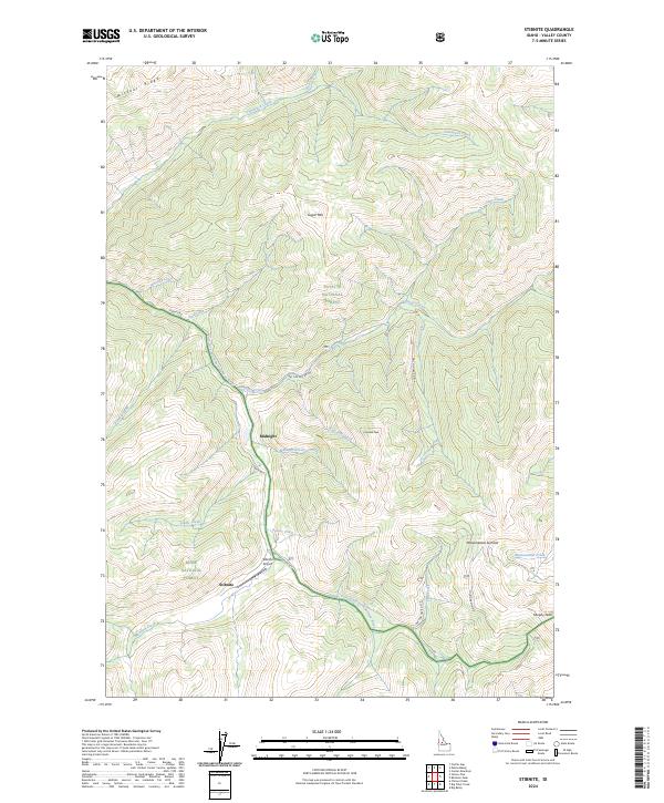
1973 Stibnite
Valley County, ID

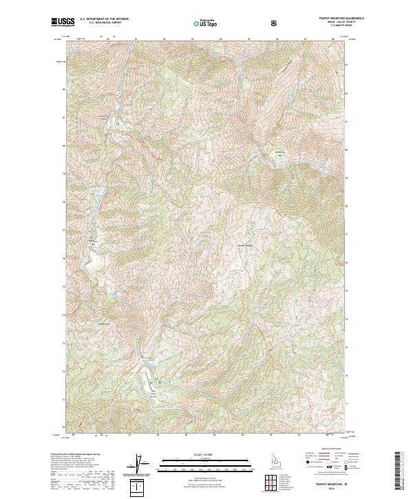
1973 Teapot Mtn
Valley County, ID
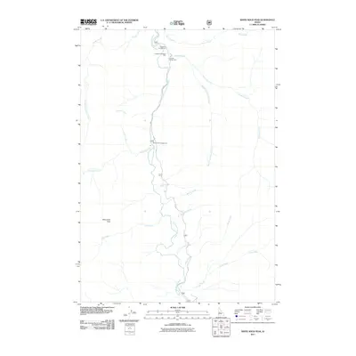
1973 White Rock Peak
Valley County, ID
1982 Pistol Creek
Valley County, ID

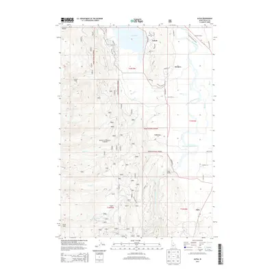
1985 Alpha
Valley County, ID
1985 High Valley
Valley County, ID
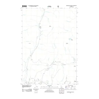
1988 Bernard Mountain
Valley County, ID
1988 Boiling Springs
Valley County, ID
1988 Bull Creek Hot Springs
Valley County, ID
1988 Deadwood Reservoir
Valley County, ID
1988 Eagle Nest
Valley County, ID
1988 Gold Fork Rock
Valley County, ID
1988 Landmark
Valley County, ID
1988 Oro Mountain
Valley County, ID
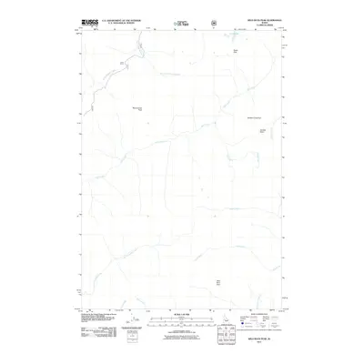
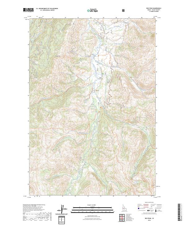
1988 Rice Peak
Valley County, ID
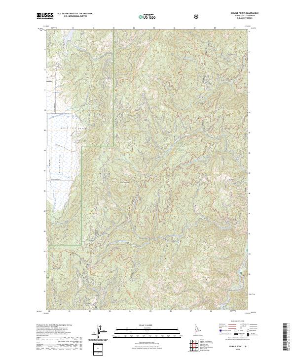
1988 Sixmile Point
Valley County, ID
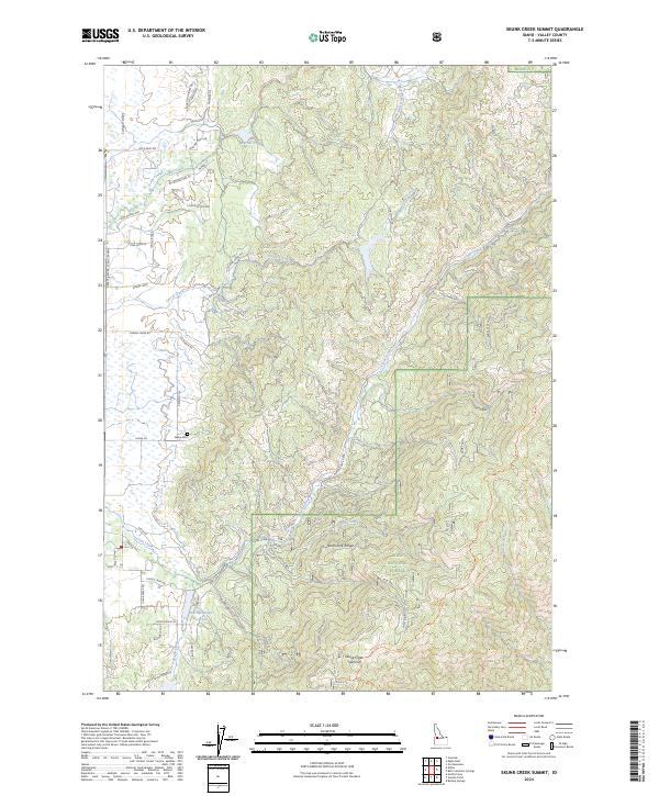
1988 Skunk Creek Summit
Valley County, ID
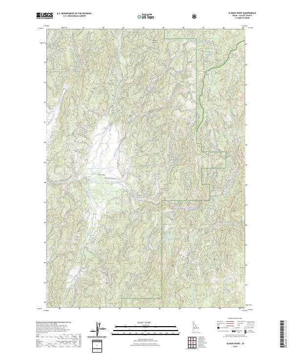
1988 Sloans Point
Valley County, ID
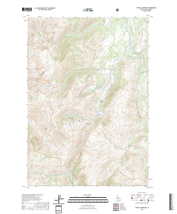
1988 Tyndall Meadows
Valley County, ID
1988 Warm Lake
Valley County, ID
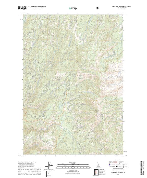
1988 Whitehawk Mountain
Valley County, ID
1988 Wild Buck Peak
Valley County, ID
1990 Artillery Dome
Valley County, ID
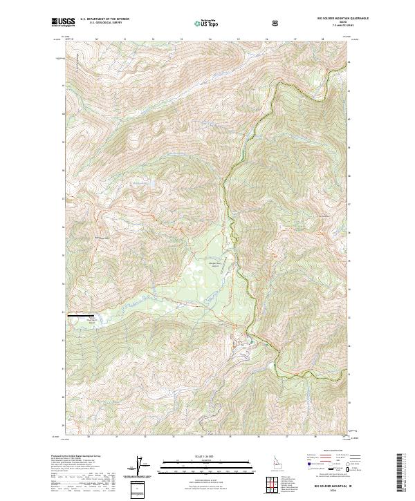
1990 Big Soldier Mountain
Valley County, ID
1990 Chinook Mountain
Valley County, ID
1990 Honeymoon Lake
Valley County, ID
1990 Pistol Lake
Valley County, ID
1998 Lake Fork
Valley County, ID
2004 Big Chief Creek
Valley County, ID
2004 Blackmare
Valley County, ID
2004 Box Lake
Valley County, ID
2004 Caton Lake
Valley County, ID
2004 Center Mountain
Valley County, ID
2004 Chilcoot Peak
Valley County, ID
2004 Dave Lewis Peak
Valley County, ID
2004 Edwardsburg
Valley County, ID
2004 Enos Lake
Valley County, ID
2004 Fitsum Peak
Valley County, ID
2004 Fitsum Summit
Valley County, ID
2004 Granite Lake
Valley County, ID
2004 Loon Lake
Valley County, ID
2004 Monument
Valley County, ID
2004 Mormon Mountain
Valley County, ID
2004 No Business Mountain
Valley County, ID
2004 Paddy Flat
Valley County, ID
2004 Parks Peak
Valley County, ID
2004 Pilot Peak
Valley County, ID
2004 Pony Meadows
Valley County, ID

2004 Profile Gap
Valley County, ID
2004 Rainbow Peak
Valley County, ID
2004 Safety Creek
Valley County, ID
2004 Shellrock Peak
Valley County, ID
2004 Stibnite
Valley County, ID
2004 Teapot Mountain
Valley County, ID
2004 Victor Peak
Valley County, ID
2004 White Rock Peak
Valley County, ID
2004 Williams Peak
Valley County, ID
2010 Lake Fork
Valley County, ID
2011 Alpha
Valley County, ID
2011 Artillery Dome
Valley County, ID
2011 Bear Creek Point
Valley County, ID
2011 Bear Valley Mountain
Valley County, ID
2011 Bernard Mountain
Valley County, ID
2011 Big Baldy
Valley County, ID
2011 Big Chief Creek
Valley County, ID
2011 Big Soldier Mountain
Valley County, ID
2011 Blackmare
Valley County, ID
2011 Blue Bunch Mountain
Valley County, ID
2011 Boiling Springs
Valley County, ID
2011 Box Lake
Valley County, ID
2011 Bull Creek Hot Springs
Valley County, ID
2011 Cache Creek
Valley County, ID
2011 Caton Lake
Valley County, ID
2011 Center Mountain
Valley County, ID
2011 Chilcoot Peak
Valley County, ID
2011 Chinook Mountain
Valley County, ID
2011 Dave Lewis Peak
Valley County, ID
2011 Deadwood Reservoir
Valley County, ID
2011 Eagle Nest
Valley County, ID
2011 Edwardsburg
Valley County, ID
2011 Enos Lake
Valley County, ID
2011 Fitsum Peak
Valley County, ID
2011 Fitsum Summit
Valley County, ID
2011 Gold Fork Rock
Valley County, ID
2011 Granite Lake
Valley County, ID
2011 High Valley
Valley County, ID
2011 Honeymoon Lake
Valley County, ID
2011 Landmark
Valley County, ID
2011 Log Mountain
Valley County, ID
2011 Loon Lake
Valley County, ID
2011 Monument
Valley County, ID
2011 Mormon Mountain
Valley County, ID
2011 No Business Mountain
Valley County, ID
2011 Norton Ridge
Valley County, ID
2011 Oro Mountain
Valley County, ID
2011 Paddy Flat
Valley County, ID
2011 Parks Peak
Valley County, ID
2011 Pilot Peak
Valley County, ID
2011 Pistol Lake
Valley County, ID
2011 Pony Meadows
Valley County, ID
2011 Profile Gap
Valley County, ID
2011 Pungo Mountain
Valley County, ID
2011 Rainbow Peak
Valley County, ID
2011 Ramey Hill
Valley County, ID
2011 Rice Peak
Valley County, ID
2011 Safety Creek
Valley County, ID
2011 Shellrock Peak
Valley County, ID
2011 Sixmile Point
Valley County, ID
2011 Skunk Creek Summit
Valley County, ID
2011 Sloans Point
Valley County, ID
2011 Stibnite
Valley County, ID
2011 Teapot Mountain
Valley County, ID
2011 Tyndall Meadows
Valley County, ID
2011 Victor Peak
Valley County, ID
2011 Warm Lake
Valley County, ID
2011 Whitehawk Mountain
Valley County, ID
2011 White Rock Peak
Valley County, ID
2011 Wild Buck Peak
Valley County, ID
2011 Williams Peak
Valley County, ID
2013 Alpha
Valley County, ID
2013 Artillery Dome
Valley County, ID
2013 Bear Creek Point
Valley County, ID
2013 Bear Valley Mountain
Valley County, ID
2013 Bernard Mountain
Valley County, ID
2013 Big Baldy
Valley County, ID
2013 Big Chief Creek
Valley County, ID
2013 Big Soldier Mountain
Valley County, ID
2013 Blackmare
Valley County, ID
2013 Blue Bunch Mountain
Valley County, ID
2013 Boiling Springs
Valley County, ID
2013 Box Lake
Valley County, ID
2013 Bull Creek Hot Springs
Valley County, ID
2013 Cache Creek
Valley County, ID
2013 Caton Lake
Valley County, ID
2013 Center Mountain
Valley County, ID
2013 Chilcoot Peak
Valley County, ID
2013 Chinook Mountain
Valley County, ID
2013 Dave Lewis Peak
Valley County, ID
2013 Deadwood Reservoir
Valley County, ID
2013 Eagle Nest
Valley County, ID
2013 Edwardsburg
Valley County, ID
2013 Enos Lake
Valley County, ID
2013 Fitsum Peak
Valley County, ID

2013 Fitsum Summit
Valley County, ID
2013 Gold Fork Rock
Valley County, ID
2013 Granite Lake
Valley County, ID
2013 High Valley
Valley County, ID
2013 Honeymoon Lake
Valley County, ID
2013 Lake Fork
Valley County, ID
2013 Landmark
Valley County, ID
2013 Log Mountain
Valley County, ID
2013 Loon Lake
Valley County, ID
2013 Monument
Valley County, ID
2013 Mormon Mountain
Valley County, ID
2013 No Business Mountain
Valley County, ID
2013 Norton Ridge
Valley County, ID
2013 Oro Mountain
Valley County, ID
2013 Paddy Flat
Valley County, ID
2013 Parks Peak
Valley County, ID
2013 Pilot Peak
Valley County, ID
2013 Pistol Lake
Valley County, ID
2013 Pony Meadows
Valley County, ID
2013 Profile Gap
Valley County, ID

2013 Pungo Mountain
Valley County, ID
2013 Rainbow Peak
Valley County, ID
2013 Ramey Hill
Valley County, ID
2013 Rice Peak
Valley County, ID
2013 Safety Creek
Valley County, ID
2013 Shellrock Peak
Valley County, ID
2013 Sixmile Point
Valley County, ID
2013 Skunk Creek Summit
Valley County, ID
2013 Sloans Point
Valley County, ID
2013 Stibnite
Valley County, ID
2013 Teapot Mountain
Valley County, ID
2013 Tyndall Meadows
Valley County, ID
2013 Victor Peak
Valley County, ID
2013 Warm Lake
Valley County, ID
2013 Whitehawk Mountain
Valley County, ID
2013 White Rock Peak
Valley County, ID
2013 Wild Buck Peak
Valley County, ID
2013 Williams Peak
Valley County, ID
2017 Alpha
Valley County, ID
2017 Artillery Dome
Valley County, ID
2017 Bear Creek Point
Valley County, ID
2017 Bear Valley Mountain
Valley County, ID
2017 Bernard Mountain
Valley County, ID
2017 Big Baldy
Valley County, ID
2017 Big Chief Creek
Valley County, ID
2017 Big Soldier Mountain
Valley County, ID
2017 Blackmare
Valley County, ID
2017 Blue Bunch Mountain
Valley County, ID
2017 Boiling Springs
Valley County, ID
2017 Box Lake
Valley County, ID
2017 Bull Creek Hot Springs
Valley County, ID
2017 Cache Creek
Valley County, ID

2017 Caton Lake
Valley County, ID
2017 Center Mountain
Valley County, ID
2017 Chilcoot Peak
Valley County, ID
2017 Chinook Mountain
Valley County, ID
2017 Dave Lewis Peak
Valley County, ID
2017 Deadwood Reservoir
Valley County, ID
2017 Eagle Nest
Valley County, ID
2017 Edwardsburg
Valley County, ID
2017 Enos Lake
Valley County, ID
2017 Fitsum Peak
Valley County, ID
2017 Fitsum Summit
Valley County, ID
2017 Gold Fork Rock
Valley County, ID
2017 Granite Lake
Valley County, ID
2017 High Valley
Valley County, ID
2017 Honeymoon Lake
Valley County, ID
2017 Lake Fork
Valley County, ID
2017 Landmark
Valley County, ID
2017 Log Mountain
Valley County, ID
2017 Loon Lake
Valley County, ID
2017 Monument
Valley County, ID
2017 Mormon Mountain
Valley County, ID
2017 No Business Mountain
Valley County, ID
2017 Norton Ridge
Valley County, ID
2017 Oro Mountain
Valley County, ID
2017 Paddy Flat
Valley County, ID
2017 Parks Peak
Valley County, ID
2017 Pilot Peak
Valley County, ID
2017 Pistol Lake
Valley County, ID
2017 Pony Meadows
Valley County, ID
2017 Profile Gap
Valley County, ID
2017 Pungo Mountain
Valley County, ID
2017 Rainbow Peak
Valley County, ID
2017 Ramey Hill
Valley County, ID
2017 Rice Peak
Valley County, ID
2017 Safety Creek
Valley County, ID
2017 Shellrock Peak
Valley County, ID
2017 Sixmile Point
Valley County, ID
2017 Skunk Creek Summit
Valley County, ID
2017 Sloans Point
Valley County, ID
2017 Stibnite
Valley County, ID
2017 Teapot Mountain
Valley County, ID
2017 Tyndall Meadows
Valley County, ID
2017 Victor Peak
Valley County, ID
2017 Warm Lake
Valley County, ID
2017 Whitehawk Mountain
Valley County, ID
2017 White Rock Peak
Valley County, ID
2017 Wild Buck Peak
Valley County, ID
2017 Williams Peak
Valley County, ID
2020 Alpha
Valley County, ID
2020 Artillery Dome
Valley County, ID
2020 Bear Creek Point
Valley County, ID
2020 Bear Valley Mountain
Valley County, ID
2020 Bernard Mountain
Valley County, ID
2020 Big Baldy
Valley County, ID
2020 Big Chief Creek
Valley County, ID
2020 Big Soldier Mountain
Valley County, ID
2020 Blackmare
Valley County, ID
2020 Blue Bunch Mountain
Valley County, ID
2020 Boiling Springs
Valley County, ID
2020 Box Lake
Valley County, ID
2020 Bull Creek Hot Springs
Valley County, ID
2020 Cache Creek
Valley County, ID
2020 Caton Lake
Valley County, ID
2020 Center Mountain
Valley County, ID
2020 Chilcoot Peak
Valley County, ID
2020 Chinook Mountain
Valley County, ID
2020 Dave Lewis Peak
Valley County, ID
2020 Deadwood Reservoir
Valley County, ID
2020 Eagle Nest
Valley County, ID
2020 Edwardsburg
Valley County, ID
2020 Enos Lake
Valley County, ID
2020 Fitsum Peak
Valley County, ID
2020 Fitsum Summit
Valley County, ID
2020 Gold Fork Rock
Valley County, ID
2020 Granite Lake
Valley County, ID
2020 High Valley
Valley County, ID
2020 Honeymoon Lake
Valley County, ID
2020 Lake Fork
Valley County, ID
2020 Landmark
Valley County, ID
2020 Log Mountain
Valley County, ID
2020 Loon Lake
Valley County, ID
2020 Monument
Valley County, ID
2020 Mormon Mountain
Valley County, ID
2020 No Business Mountain
Valley County, ID
2020 Norton Ridge
Valley County, ID
2020 Oro Mountain
Valley County, ID
2020 Paddy Flat
Valley County, ID
2020 Parks Peak
Valley County, ID
2020 Pilot Peak
Valley County, ID
2020 Pistol Lake
Valley County, ID
2020 Pony Meadows
Valley County, ID
2020 Profile Gap
Valley County, ID
2020 Pungo Mountain
Valley County, ID
2020 Rainbow Peak
Valley County, ID
2020 Ramey Hill
Valley County, ID
2020 Rice Peak
Valley County, ID
2020 Safety Creek
Valley County, ID
2020 Shellrock Peak
Valley County, ID
2020 Sixmile Point
Valley County, ID
2020 Skunk Creek Summit
Valley County, ID
2020 Sloans Point
Valley County, ID
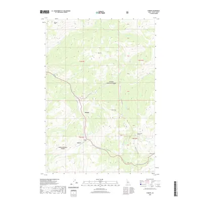
2020 Stibnite
Valley County, ID
2020 Teapot Mountain
Valley County, ID
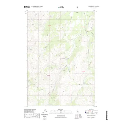
2020 Tyndall Meadows
Valley County, ID
2020 Victor Peak
Valley County, ID
2020 Warm Lake
Valley County, ID
2020 Whitehawk Mountain
Valley County, ID
2020 White Rock Peak
Valley County, ID
2020 Wild Buck Peak
Valley County, ID
2020 Williams Peak
Valley County, ID
2023 Big Baldy
Valley County, ID
2023 Fitsum Summit
Valley County, ID
2023 High Valley
Valley County, ID
2023 Pungo Mountain
Valley County, ID
2023 Victor Peak
Valley County, ID
2024 Alpha
Valley County, ID
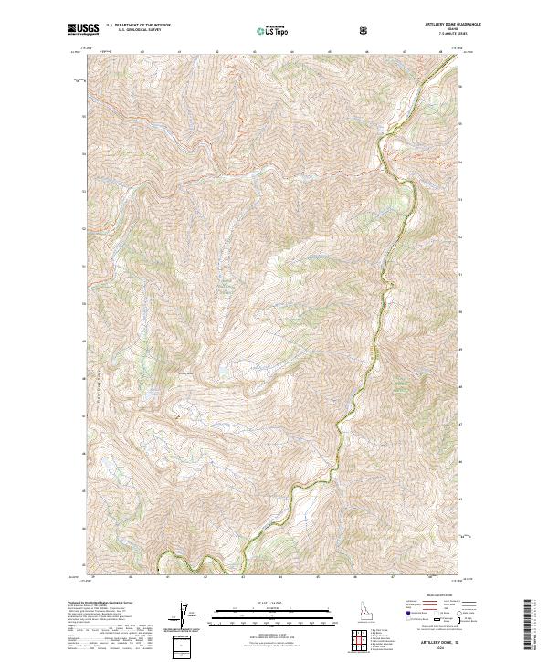
2024 Artillery Dome
Valley County, ID
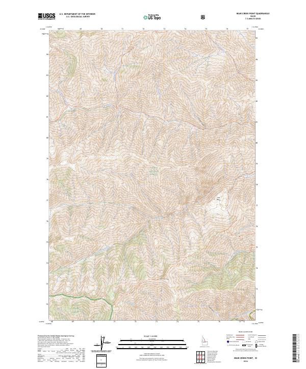
2024 Bear Creek Point
Valley County, ID
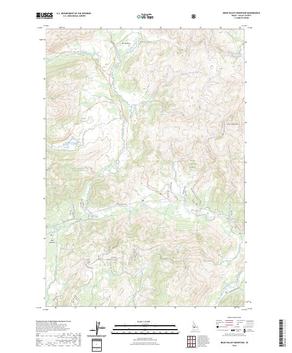
2024 Bear Valley Mountain
Valley County, ID
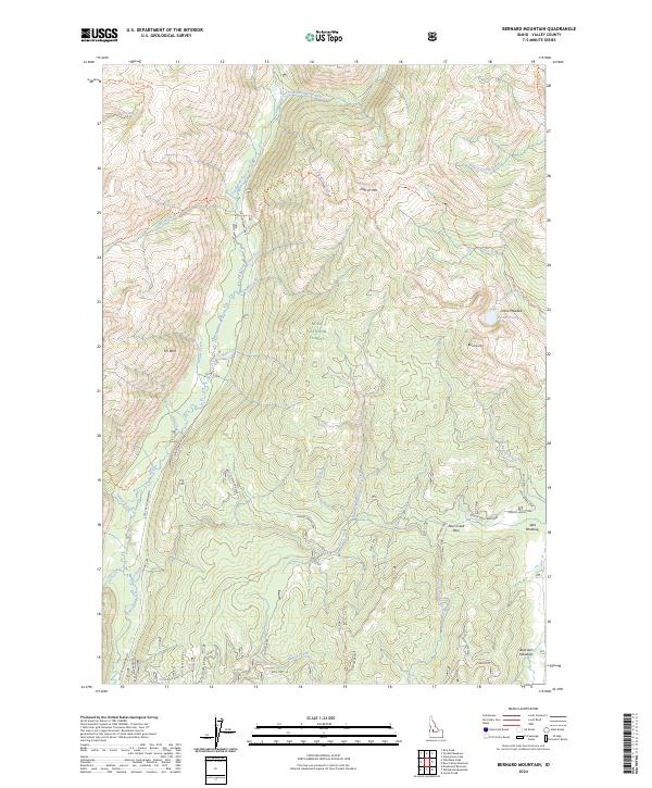
2024 Bernard Mountain
Valley County, ID
2024 Big Baldy
Valley County, ID
2024 Big Chief Creek
Valley County, ID
2024 Big Soldier Mountain
Valley County, ID
2024 Blackmare
Valley County, ID
2024 Blue Bunch Mountain
Valley County, ID
2024 Boiling Springs
Valley County, ID
2024 Box Lake
Valley County, ID
2024 Bull Creek Hot Springs
Valley County, ID
2024 Cache Creek
Valley County, ID
2024 Caton Lake
Valley County, ID
2024 Center Mountain
Valley County, ID
2024 Chilcoot Peak
Valley County, ID
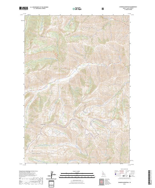
2024 Chinook Mountain
Valley County, ID
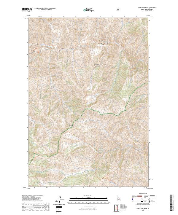
2024 Dave Lewis Peak
Valley County, ID
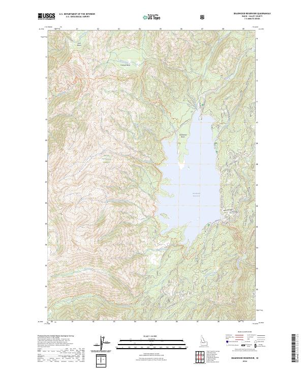
2024 Deadwood Reservoir
Valley County, ID
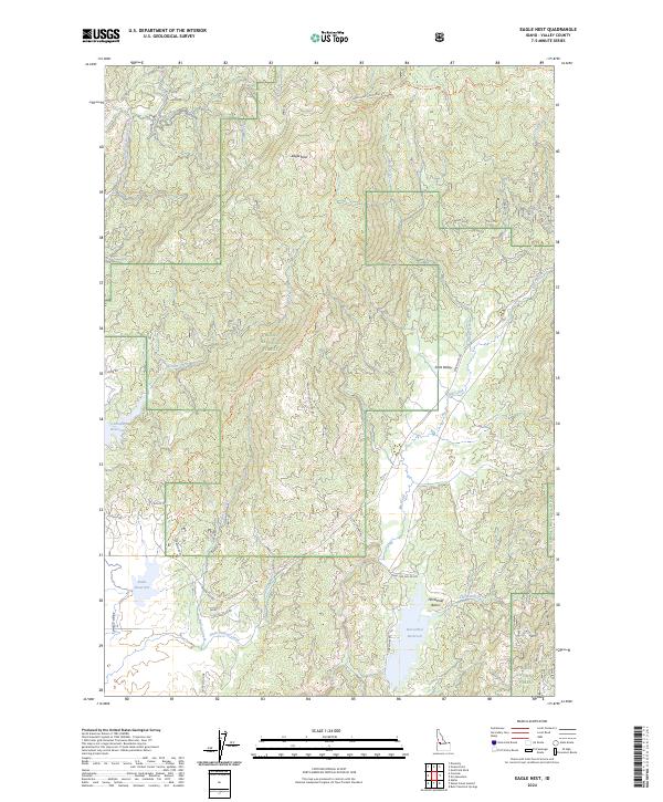
2024 Eagle Nest
Valley County, ID
2024 Edwardsburg
Valley County, ID
2024 Enos Lake
Valley County, ID
2024 Fitsum Peak
Valley County, ID
2024 Fitsum Summit
Valley County, ID
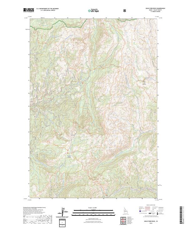
2024 Gold Fork Rock
Valley County, ID
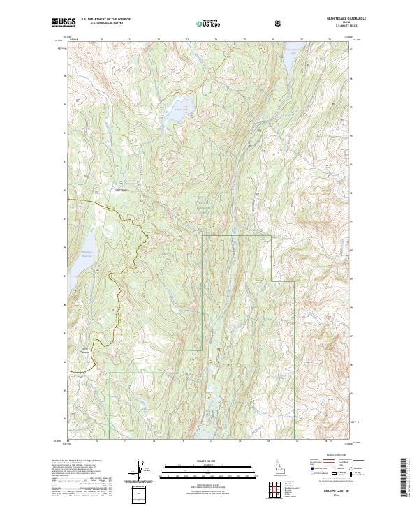
2024 Granite Lake
Valley County, ID
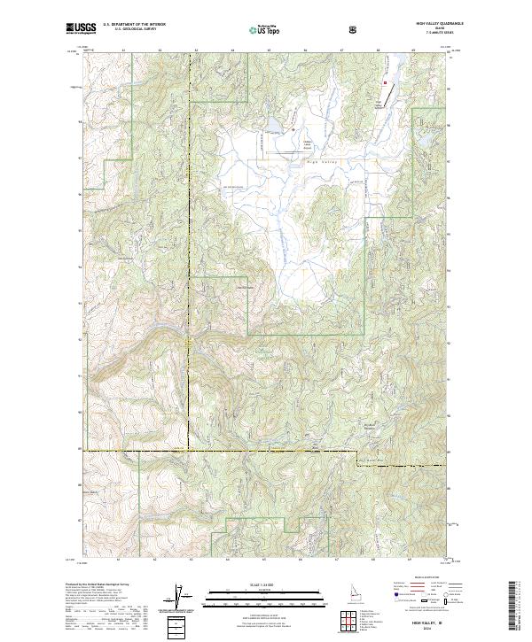
2024 High Valley
Valley County, ID
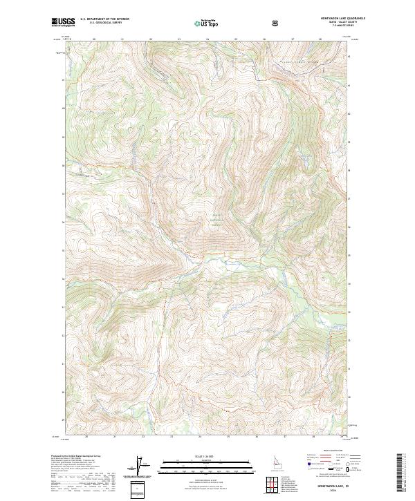
2024 Honeymoon Lake
Valley County, ID
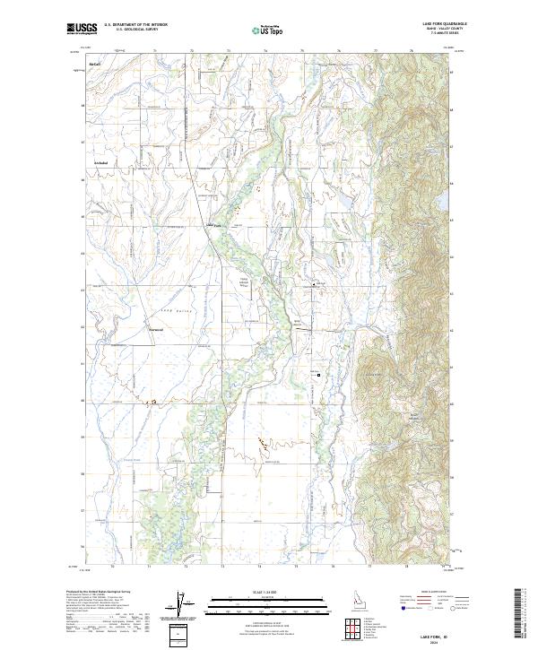
2024 Lake Fork
Valley County, ID
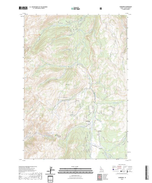
2024 Landmark
Valley County, ID
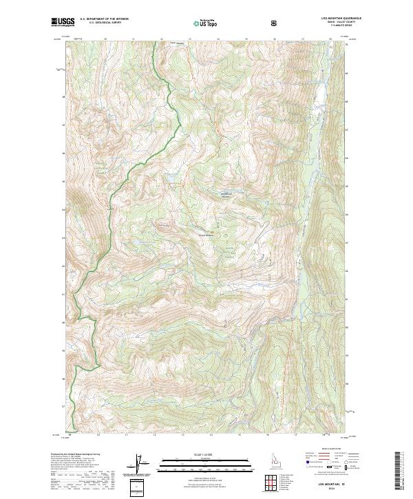
2024 Log Mountain
Valley County, ID
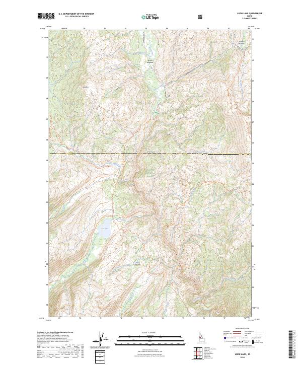
2024 Loon Lake
Valley County, ID
2024 Monument
Valley County, ID
2024 Mormon Mountain
Valley County, ID
2024 No Business Mountain
Valley County, ID
2024 Norton Ridge
Valley County, ID
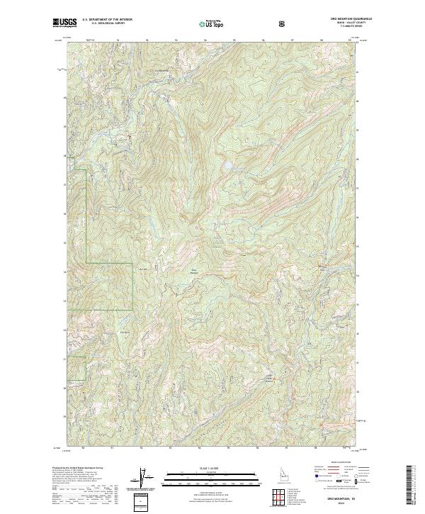
2024 Oro Mountain
Valley County, ID
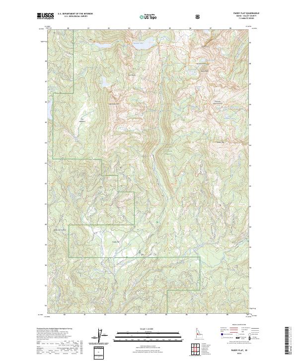
2024 Paddy Flat
Valley County, ID
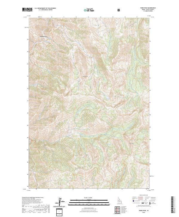
2024 Parks Peak
Valley County, ID
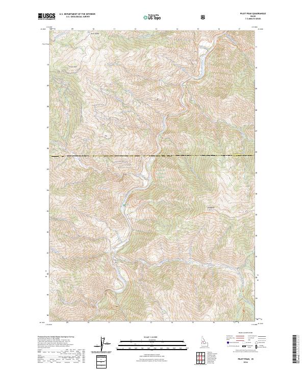
2024 Pilot Peak
Valley County, ID
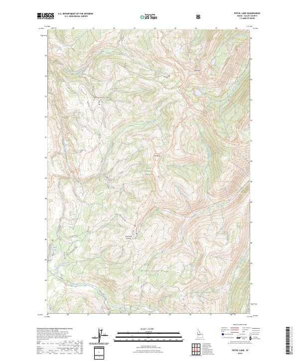
2024 Pistol Lake
Valley County, ID
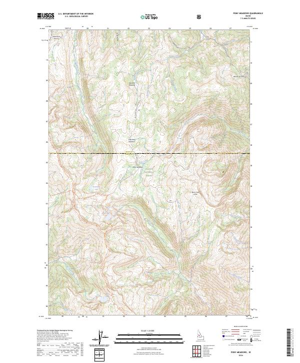
2024 Pony Meadows
Valley County, ID
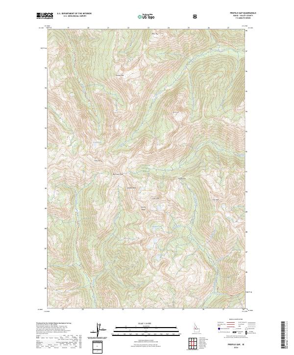
2024 Profile Gap
Valley County, ID
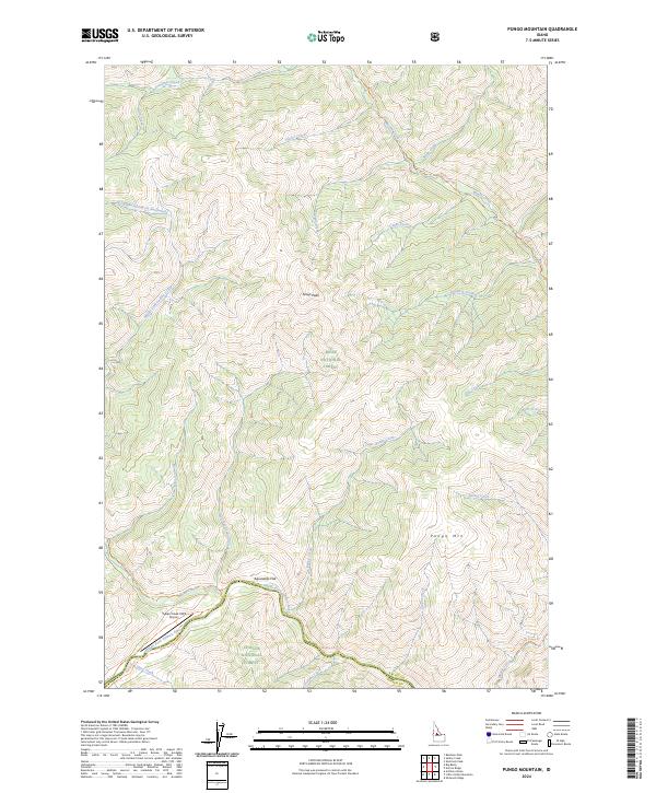
2024 Pungo Mountain
Valley County, ID
2024 Rainbow Peak
Valley County, ID

2024 Ramey Hill
Valley County, ID
2024 Rice Peak
Valley County, ID
2024 Safety Creek
Valley County, ID
2024 Shellrock Peak
Valley County, ID
2024 Sixmile Point
Valley County, ID
2024 Skunk Creek Summit
Valley County, ID
2024 Sloans Point
Valley County, ID
2024 Stibnite
Valley County, ID
2024 Teapot Mountain
Valley County, ID
2024 Tyndall Meadows
Valley County, ID
2024 Victor Peak
Valley County, ID
2024 Warm Lake
Valley County, ID
2024 Whitehawk Mountain
Valley County, ID
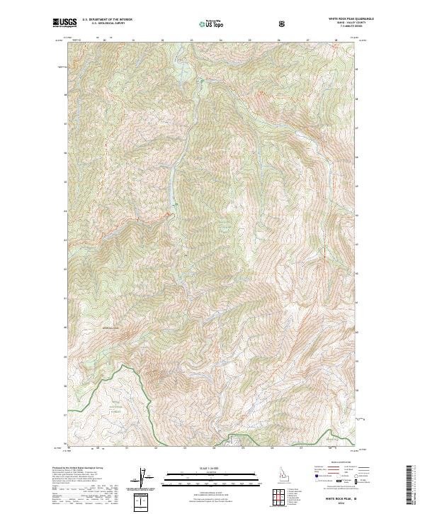
2024 White Rock Peak
Valley County, ID
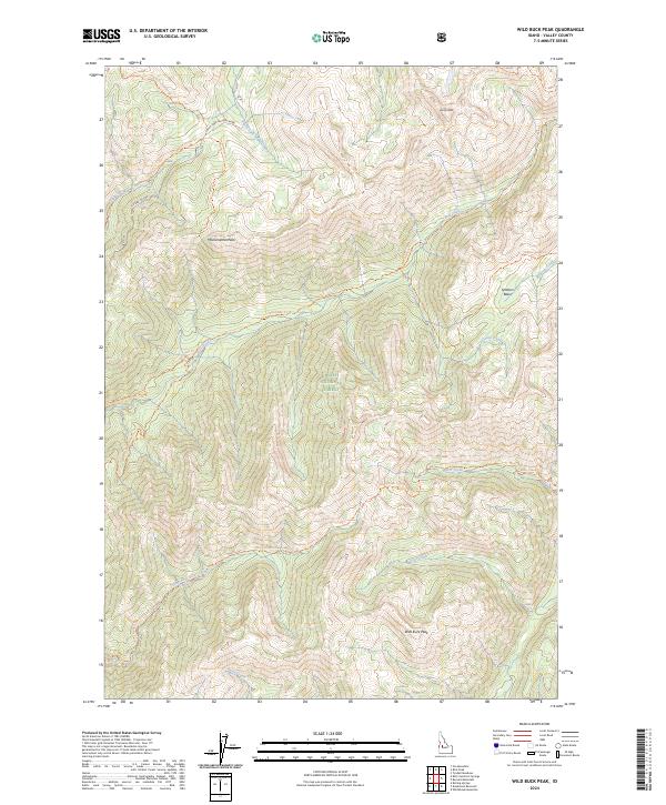
2024 Wild Buck Peak
Valley County, ID
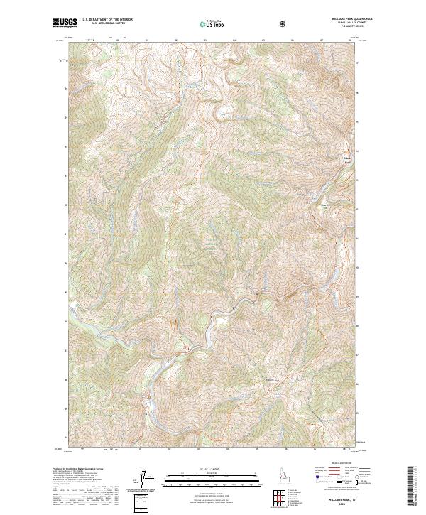
2024 Williams Peak
Valley County, ID