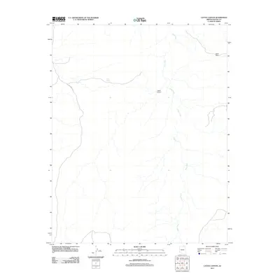
2011 Map of Cattle Canyon
USGS Topo · Published 2011About this map
Nokai Mesa overlooks the northern edge of this high desert terrain in the Navajo Nation, where the drainage of Nokai Creek winds across the landscape. The geography is defined by the namesake Cattle Canyon, a prominent natural feature that provides structural form to the region's topography. Human activity and access in this remote portion of Arizona are marked by the presence of Indian Rte 6310, a route that cuts through the northwestern corner. Water remains the most critical resource for the area's pastoral history, represented here by Fullers Spring. This 2011 survey by the U.S. Geological Survey details a landscape where traditional land use and natural water sources like these springs have long dictated the patterns of movement and settlement.
Find a feature on this map
5 named features on this map. Tap any name to fly to it.
Don’t see what you’re looking for? This feature index may not catch every label — zoom into the map to look around manually.
Map Details
Editions of this 2011 Cattle Canyon Map
2 editions found
Other maps of this area

1883 · Marsh Pass
USGS Topo · 1:250,000

1886 · Henry Mountains
USGS Topo · 1:250,000

1892 · Marsh Pass
USGS Topo · 1:250,000

1892 · Henry Mountains
USGS Topo · 1:250,000

1952 · Shato Spring 1 NE
USGS Topo · 1:24,000

1952 · Agathla Peak 2 SW
USGS Topo · 1:24,000

1952 · Agathla Peak 2 NW
USGS Topo · 1:24,000

1952 · Boot Mesa
USGS Topo · 1:62,500

1952 · Clay Hills 3 SW
USGS Topo · 1:24,000

1952 · Navajo Mtn. 4 SE
USGS Topo · 1:24,000