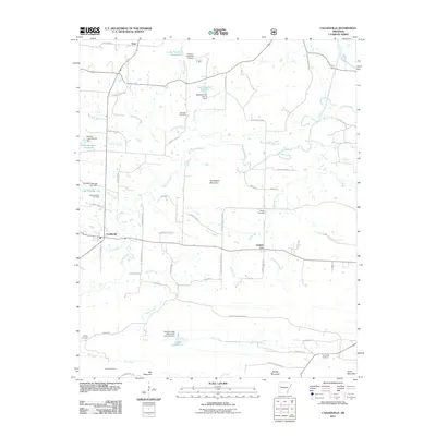
2011 Map of Caulksville
USGS Topo · Published 2011About this map
Caulksville and Carbon City sit as central nodes in this Logan County landscape, defined by a network of small watersheds and prominent ridges. The area is heavily marked by water management infrastructure, including the Sixmile Creek Watershed Site Two Dam and several numbered reservoirs like Lake Number Sixteen and Lake Number One. These sites, clustered around Sixmile Creek and its tributaries such as Shaver Creek and Hurricane Creek, illustrate the complex drainage patterns common to the Arkansas River Valley region.
Find a feature on this map
66 named features on this map. Tap any name to fly to it.
Don’t see what you’re looking for? This feature index may not catch every label — zoom into the map to look around manually.
Map Details
Editions of this 2011 Caulksville Map
This is the sole edition of this map. No revisions or reprints were ever made.
Other maps of this area

1879 · Mountain Home
USGS Topo · 1:62,500

1887 · Magazine Mountain #1
USGS Topo · 1:62,500

1887 · Magazine Mountain #4
USGS Topo · 1:62,500

1887 · Magazine Mountain #2
USGS Topo · 1:62,500

1887 · Magazine Mountain #3
USGS Topo · 1:62,500

1887 · Magazine Mountain
USGS Topo · 1:62,500

1890 · Magazine Mountain
USGS Topo · 1:125,000

1934 · Booneville
USGS Topo · 1:48,000

1939 · Booneville
USGS Topo · 1:62,500

1956 · Russellville
USGS Topo · 1:250,000