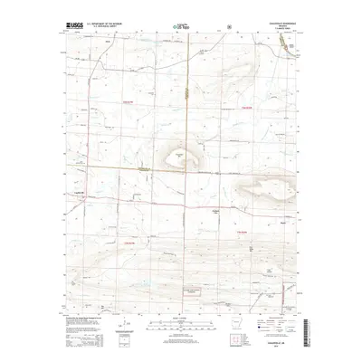
2014 Map of Caulksville
USGS Topo · Published 2014About this map
Paris and Caulksville anchor this 2014 survey of the Arkansas River Valley, where the topography transitions from the lowlands of Sixmile Cr to the higher elevations of the Ozark National Forest. The landscape is a mix of agricultural plots, timberland, and energy infrastructure, notably the Aetna Gas Field near the settlement of Etna. Water management is prominent throughout the quadrangle, evidenced by the Sixmile Creek Site 17 Reservoir and various smaller impoundments like Lake Number Seventeen and Lake Number Two.
Find a feature on this map
91 named features on this map. Tap any name to fly to it.
Don’t see what you’re looking for? This feature index may not catch every label — zoom into the map to look around manually.
Map Details
Editions of this 2014 Caulksville Map
This is the sole edition of this map. No revisions or reprints were ever made.
Other maps of this area

1879 · Mountain Home
USGS Topo · 1:62,500

1887 · Magazine Mountain #1
USGS Topo · 1:62,500

1887 · Magazine Mountain #4
USGS Topo · 1:62,500

1887 · Magazine Mountain #2
USGS Topo · 1:62,500

1887 · Magazine Mountain #3
USGS Topo · 1:62,500

1887 · Magazine Mountain
USGS Topo · 1:62,500

1890 · Magazine Mountain
USGS Topo · 1:125,000

1934 · Booneville
USGS Topo · 1:48,000

1939 · Booneville
USGS Topo · 1:62,500

1956 · Russellville
USGS Topo · 1:250,000