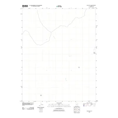
2011 Map of Cave Flat
USGS Topo · Published 2011About this map
Muley Creek winds through the high desert of Garfield County, marking a landscape defined by significant elevation changes and seasonal drainage patterns. This 2011 survey documents the remote topography of south-central Utah, centering on the plateau of Cave Flat and the prominent rising landform of Swap Mesa. The geography here is dominated by desert erosion, evidenced by the deep incision of Pipe Spring Canyon and the eastern flow of Bullfrog Creek. While the area lacks permanent settlements, the map provides a precise record of the complex terrain and primitive road networks utilized by ranchers and backcountry explorers in the early 21st century.
Find a feature on this map
5 named features on this map. Tap any name to fly to it.
Don’t see what you’re looking for? This feature index may not catch every label — zoom into the map to look around manually.
Map Details
Editions of this 2011 Cave Flat Map
This is the sole edition of this map. No revisions or reprints were ever made.
Other maps of this area

1885 · San Rafael
USGS Topo · 1:250,000

1885 · Fish Lake
USGS Topo · 1:250,000

1886 · Escalante
USGS Topo · 1:250,000

1886 · Henry Mountains
USGS Topo · 1:250,000

1892 · Henry Mountains
USGS Topo · 1:250,000

1896 · Fish Lake
USGS Topo · 1:250,000

1952 · Notom 4 SE
USGS Topo · 1:24,000

1952 · Mt Pennell 2 NE
USGS Topo · 1:24,000

1952 · Notom
USGS Topo · 1:62,500

1953 · Mt Pennell
USGS Topo · 1:62,500