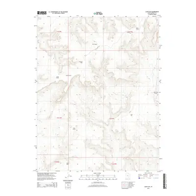
2014 Map of Cave Flat
USGS Topo · Published 2014About this map
Tarantula Mesa dominates the northern reaches of this Garfield County landscape, standing as a prominent highland feature north of Cave Flat. This 2014 survey by the U.S. Geological Survey details a network of drainage systems including the winding Muley Cr and the eastern flow of Bullfrog Cr. The topography is defined by deep incisions such as Seven Canyon, Five Canyon, and the appropriately named Divide Canyon.
Find a feature on this map
18 named features on this map. Tap any name to fly to it.
Don’t see what you’re looking for? This feature index may not catch every label — zoom into the map to look around manually.
Map Details
Editions of this 2014 Cave Flat Map
This is the sole edition of this map. No revisions or reprints were ever made.
Other maps of this area

1885 · San Rafael
USGS Topo · 1:250,000

1885 · Fish Lake
USGS Topo · 1:250,000

1886 · Escalante
USGS Topo · 1:250,000

1886 · Henry Mountains
USGS Topo · 1:250,000

1892 · Henry Mountains
USGS Topo · 1:250,000

1896 · Fish Lake
USGS Topo · 1:250,000

1952 · Notom 4 SE
USGS Topo · 1:24,000

1952 · Mt Pennell 2 NE
USGS Topo · 1:24,000

1952 · Notom
USGS Topo · 1:62,500

1953 · Mt Pennell
USGS Topo · 1:62,500