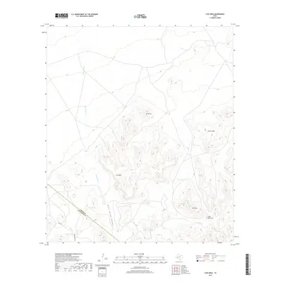
2019 Map of Cave Mesa
USGS Topo · Published 2019About this map
Cave Mesa and the surrounding high desert terrain define this landscape at the Pecos and Brewster County line. The map reveals a land structured by essential water sources in an arid environment, notably the series of earthen catchments such as Rooney Tank, Hackberry Tank, and North Tank that support the local ranching economy. The complex topography is punctuated by prominent elevations including North Mtn, Panther Mesa, and Pine Mesa, which form part of the larger Glass Mountains range. Drainage patterns are clearly marked by the winding course of Burnt House Cr and its associated Burnt House Canyon. Human presence is minimal, primarily indicated by Mills Rd and the intermittent drainage of Walnut Draw, providing a precise look at the remote ranching country of West Texas in the early 21st century.
Find a feature on this map
14 named features on this map. Tap any name to fly to it.
Don’t see what you’re looking for? This feature index may not catch every label — zoom into the map to look around manually.
Map Details
Editions of this 2019 Cave Mesa Map
This is the sole edition of this map. No revisions or reprints were ever made.
Other maps of this area

1923 · Hess Canyon
USGS Topo · 1:62,500

1923 · Altuda
USGS Topo · 1:62,500

1929 · Hovey
USGS Topo · 1:125,000

1954 · Fort Stockton
USGS Topo · 1:250,000

1958 · Fort Stockton
USGS Topo · 1:250,000

1973 · Fort Stockton
USGS Topo · 1:250,000
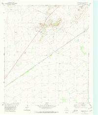
1980 · Chancellor
USGS Topo · 1:24,000
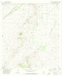
1980 · Cave Mesa NE
USGS Topo · 1:24,000

1980 · Cave Mesa
USGS Topo · 1:24,000

1980 · Hovey
USGS Topo · 1:24,000