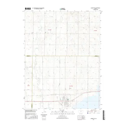
2015 Map of Cawker City
USGS Topo · Published 2015About this map
Cawker City stands prominently at the junction of modern infrastructure and North Central Kansas waterways, situated just north of the expansive Waconda Lake. The town's grid is meticulously detailed, showing named streets from Pine St to Ash St, while the surrounding rural landscape in Mitchell Co and Jewell Co remains defined by the section-line road system, including A Rd and D Rd. Historical and genealogical interest is anchored by several burial sites scattered across the townships, such as Prairie Grove Cem south of the city and Rooker Cem to the northwest. The natural drainage of the plains is traced through the winding paths of Granite Cr and Little Oak Cr, which feed toward the reservoir, illustrating the perennial relationship between these prairie settlements and their water sources.
Find a feature on this map
45 named features on this map. Tap any name to fly to it.
Don’t see what you’re looking for? This feature index may not catch every label — zoom into the map to look around manually.
Map Details
Editions of this 2015 Cawker City Map
This is the sole edition of this map. No revisions or reprints were ever made.
Other maps of this area

1893 · Smith Center
USGS Topo · 1:125,000

1894 · Mankato
USGS Topo · 1:125,000

1894 · Beloit
USGS Topo · 1:125,000

1896 · Osborne
USGS Topo · 1:125,000

1953 · Downs South
USGS Topo · 1:24,000

1953 · Waconda Springs
USGS Topo · 1:24,000

1953 · Glen Elder South
USGS Topo · 1:24,000

1955 · Beloit
USGS Topo · 1:250,000

1959 · Beloit
USGS Topo · 1:250,000

1960 · Downs North
USGS Topo · 1:24,000