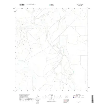
2019 Map of Cayman Lake
USGS Topo · Published 2019About this map
The Frio River meanders through this portion of La Salle County, defining a landscape shaped by intermittent watercourses and ranch access roads. This 2019 survey captures the hydrological network of south Texas, where the river is joined by the Cayman Slough and Ruiz Cr amidst a terrain of brush and drainage basins. Cayman Lake sits as a prominent landmark in the southeast, while the confluence of Cibolo Cr and Nogate Cr further west illustrates the complex watershed that dictates land use in this semi-arid region. Rural connectivity is maintained via a sparse network of thoroughfares, including El Jardin Rd, Natus Rd, and Irvin Rd, which partition large tracts of land typical of modern Texas ranching country.
Find a feature on this map
10 named features on this map. Tap any name to fly to it.
Don’t see what you’re looking for? This feature index may not catch every label — zoom into the map to look around manually.
Map Details
Editions of this 2019 Cayman Lake Map
This is the sole edition of this map. No revisions or reprints were ever made.
Other maps of this area

1929 · Cotulla
USGS Topo · 1:125,000

1940 · Cotulla
USGS Topo · 1:62,500

1942 · Fowlerton
USGS Topo · 1:62,500

1942 · Dilley
USGS Topo · 1:62,500

1953 · Crystal City
USGS Topo · 1:250,000

1955 · Crystal City
USGS Topo · 1:250,000

1956 · Hindes
USGS Topo · 1:62,500

1956 · Fowlerton
USGS Topo · 1:62,500

1961 · Crystal City
USGS Topo · 1:250,000

1968 · Crystal City
USGS Topo · 1:250,000