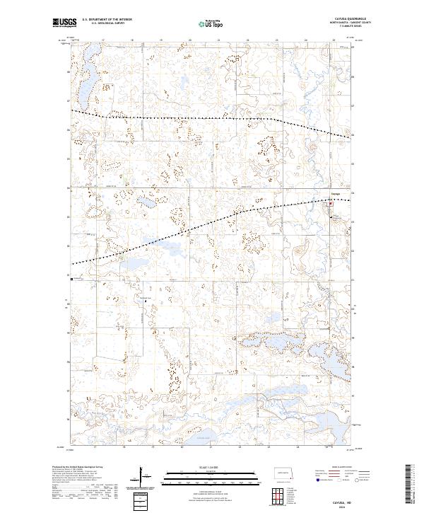
2024 Map of Cayuga
USGS Topo · Published 2024About this map
Cayuga sits at the heart of this prairie landscape, serving as a focal point for the surrounding agricultural section lines and county roads. The terrain is defined by its extensive wetlands and conservation areas, most notably the Tewaukon National Wildlife Refuge in the southern reaches and the Sargent County Waterfowl Production Area to the north. These protected grounds, along with the meandering path of the Wild Rice River and the waters of Clouds Lake, illustrate the vital role of water management and habitat preservation in Sargent County. Local genealogy and history are preserved at sites like Cayuga Community Cem, Nordland Cem, and Rutland Cem, which remain as quiet landmarks across the township grids of this modern survey.
Find a feature on this map
36 named features on this map. Tap any name to fly to it.
Don’t see what you’re looking for? This feature index may not catch every label — zoom into the map to look around manually.
Map Details
Editions of this 2024 Cayuga Map
This is the sole edition of this map. No revisions or reprints were ever made.
Other maps of this area

1907 · Wyndmere
USGS Topo · 1:125,000

1953 · Milbank
USGS Topo · 1:250,000

1953 · Fargo
USGS Topo · 1:250,000

1956 · Fargo
USGS Topo · 1:250,000

1956 · Havana
USGS Topo · 1:24,000

1958 · Milbank
USGS Topo · 1:250,000

1958 · Marlow
USGS Topo · 1:24,000

1958 · Rutland
USGS Topo · 1:24,000

1958 · Veblen NE
USGS Topo · 1:24,000

1958 · Cayuga NW
USGS Topo · 1:24,000