
1958 Map of Rutland
USGS Topo · Published 1959About this map
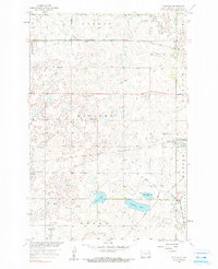
Rutland stands as the primary hub of this eastern North Dakota landscape, situated at the junction of the Great Northern and the Minneapolis St Paul and Sault Ste Marie railroads. The town’s social fabric is anchored by the Rutland Sch and the nearby Trinity Cem. To the south, the Wild Rice River winds through the terrain, feeding into Silver Lake and Sprague Lake, where a spillway regulates the water levels. The presence of an Old Railroad Grade in the southeastern corner, near the Sisseton Indian Reservation boundary, indicates a shifting transportation network during the mid-century. This survey, conducted as part of the Missouri River Basin development program, captures a rural economy defined by scattered section schools like School No 4 and local Gravel Pits.
Find a feature on this map
21 named features on this map. Tap any name to fly to it.
Don’t see what you’re looking for? This feature index may not catch every label — zoom into the map to look around manually.
Map Details
Editions of this 1958 Rutland Map
2 editions found
Other maps of this area

1907 · Wyndmere
USGS Topo · 1:125,000

1953 · Kidder
USGS Topo · 1:24,000

1953 · Milbank
USGS Topo · 1:250,000

1953 · Fargo
USGS Topo · 1:250,000

1956 · Fargo
USGS Topo · 1:250,000

1956 · Havana
USGS Topo · 1:24,000

1958 · Milbank
USGS Topo · 1:250,000

1958 · Marlow
USGS Topo · 1:24,000
1958 · Forman
USGS Topo · 1:24,000

1958 · Cayuga NW
USGS Topo · 1:24,000