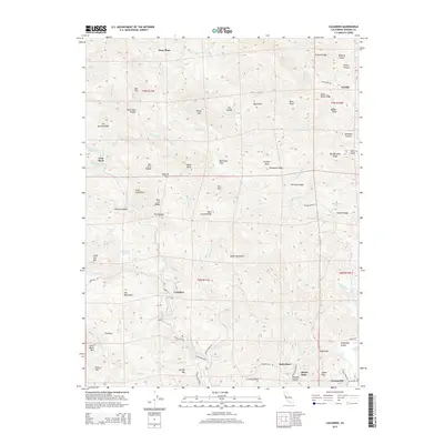
2015 Map of Cazadero
USGS Topo · Published 2015About this map
Cazadero and Guerneville anchor this 2015 study of the Russian River drainage in Sonoma County. The map details a complex landscape of ridges and deep canyons, where many family names are preserved on landmarks such as Dorr Place, Hale Place, and Mannings Flats. The hydrology is particularly intricate, following the winding course of E Austin Cr and its many tributaries, including Schoolhouse Cr and Thompson Cr.
Find a feature on this map
84 named features on this map. Tap any name to fly to it.
Don’t see what you’re looking for? This feature index may not catch every label — zoom into the map to look around manually.
Map Details
Editions of this 2015 Cazadero Map
This is the sole edition of this map. No revisions or reprints were ever made.
Other maps of this area

1920 · Healdsburg
USGS Topo · 1:62,500

1921 · Skaggs
USGS Topo · 1:62,500

1933 · Healdsburg
USGS Topo · 1:48,000

1935 · Sebastopol
USGS Topo · 1:48,000

1940 · Healdsburg
USGS Topo · 1:62,500

1942 · Sebastopol
USGS Topo · 1:62,500

1942 · Arched Rock
USGS Topo · 1:24,000

1943 · Tombs Creek
USGS Topo · 1:24,000

1943 · Cazadero
USGS Topo · 1:24,000

1943 · Duncans Mills
USGS Topo · 1:24,000