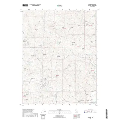
2018 Map of Cazadero
USGS Topo · Published 2018About this map
Cazadero serves as the central hub of this Sonoma County landscape, situated along the Austin Creek where the Cazadero Hwy meets the historic Old Cazadero Rd. The settlement patterns here reflect a mix of small mountain communities and agricultural outposts, with Venado to the northeast and the secluded Forgotten Valley tucked away in the eastern hills. The terrain is defined by a dense network of ridges and canyons, including the prominent Vulture Ridge and the distinctively named Panther Beds.
Find a feature on this map
114 named features on this map. Tap any name to fly to it.
Don’t see what you’re looking for? This feature index may not catch every label — zoom into the map to look around manually.
Map Details
Editions of this 2018 Cazadero Map
This is the sole edition of this map. No revisions or reprints were ever made.
Other maps of this area

1920 · Healdsburg
USGS Topo · 1:62,500

1921 · Skaggs
USGS Topo · 1:62,500

1933 · Healdsburg
USGS Topo · 1:48,000

1935 · Sebastopol
USGS Topo · 1:48,000

1940 · Healdsburg
USGS Topo · 1:62,500

1942 · Sebastopol
USGS Topo · 1:62,500

1942 · Arched Rock
USGS Topo · 1:24,000

1943 · Tombs Creek
USGS Topo · 1:24,000

1943 · Cazadero
USGS Topo · 1:24,000

1943 · Duncans Mills
USGS Topo · 1:24,000