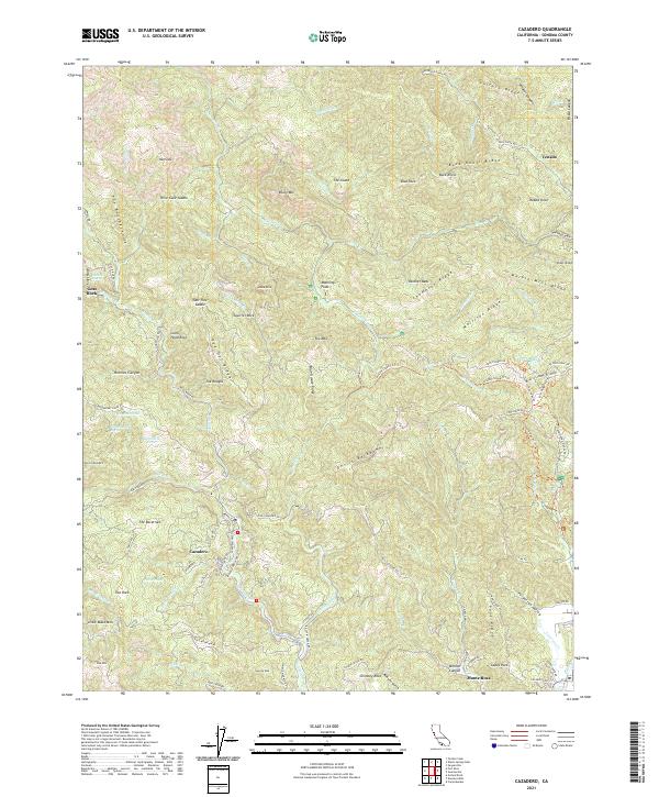
2021 Map of Cazadero
USGS Topo · Published 2021About this map
Cazadero is the primary settlement on this Sonoma County sheet, situated at the confluence of several small drainages and the winding Austin Creek. The landscape is dominated by a complex network of ridges, including Vulture Ridge and Gilliam Ridge, which dictate the paths of historic routes such as Kings Ridge Rd and Fort Ross Rd. These roads connect scattered locales like Venado to the north and various landmark features like Government Spring and Mineral Spring.
Find a feature on this map
149 named features on this map. Tap any name to fly to it.
Don’t see what you’re looking for? This feature index may not catch every label — zoom into the map to look around manually.
Map Details
Editions of this 2021 Cazadero Map
This is the sole edition of this map. No revisions or reprints were ever made.
Other maps of this area

1920 · Healdsburg
USGS Topo · 1:62,500

1921 · Skaggs
USGS Topo · 1:62,500

1933 · Healdsburg
USGS Topo · 1:48,000

1935 · Sebastopol
USGS Topo · 1:48,000

1940 · Healdsburg
USGS Topo · 1:62,500

1942 · Sebastopol
USGS Topo · 1:62,500

1942 · Arched Rock
USGS Topo · 1:24,000

1943 · Tombs Creek
USGS Topo · 1:24,000

1943 · Cazadero
USGS Topo · 1:24,000

1943 · Duncans Mills
USGS Topo · 1:24,000