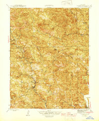
1945 Map of Cazadero
USGS Topo · Published 1945About this map
Cazadero stands as the primary hub in this mid-1940s survey of Sonoma County, where the settlement’s position at the confluence of several creeks marks it as a gateway to the steep ridges and timbered draws. The local economy and social structure are etched into the landscape through numerous family properties and recreational outposts, including Luttrell Ranch, Paterson Ranch, and Romans Resort. This era is characterized by a dense network of mountain schools like Austin Creek Sch and Montgomery Sch that served the scattered homesteads before modern consolidation.
Find a feature on this map
68 named features on this map. Tap any name to fly to it.
Don’t see what you’re looking for? This feature index may not catch every label — zoom into the map to look around manually.
Map Details
Editions of this 1945 Cazadero Map
2 editions found
Other maps of this area

1920 · Healdsburg
USGS Topo · 1:62,500

1921 · Skaggs
USGS Topo · 1:62,500

1933 · Healdsburg
USGS Topo · 1:48,000

1935 · Sebastopol
USGS Topo · 1:48,000

1940 · Healdsburg
USGS Topo · 1:62,500

1942 · Sebastopol
USGS Topo · 1:62,500

1942 · Arched Rock
USGS Topo · 1:24,000

1943 · Tombs Creek
USGS Topo · 1:24,000

1943 · Cazadero
USGS Topo · 1:24,000

1943 · Duncans Mills
USGS Topo · 1:24,000