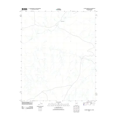
2011 Map of Ceadro Spring SE
USGS Topo · Published 2011About this map
Zuni River defines the upper drainage patterns of this high desert region in Apache County, where the landscape is marked by intermittent watercourses and broad alluvial basins. The river enters from the west, winding through the northern portion of the quadrangle before meeting Venadito Draw to the northeast. This 2011 survey captures the area at a time when the water system remained largely undeveloped, showing the intricate network of dry washes that feed the main channel during the seasonal monsoon rains. The lack of named settlements or infrastructure underscores the rural, sparsely populated nature of this borderland territory between Arizona and New Mexico, where the natural terrain dictates the layout of the few primitive roads that traverse the basin floor.
Find a feature on this map
2 named features on this map. Tap any name to fly to it.
Don’t see what you’re looking for? This feature index may not catch every label — zoom into the map to look around manually.
Map Details
Editions of this 2011 Ceadro Spring SE Map
2 editions found

Other maps of this area
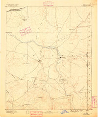
1886 · St Johns
USGS Topo · 1:250,000
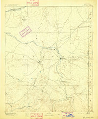
1892 · St Johns
USGS Topo · 1:250,000

1954 · Saint Johns
USGS Topo · 1:250,000

1957 · Saint Johns
USGS Topo · 1:250,000

1958 · Saint Johns
USGS Topo · 1:250,000

1962 · Saint Johns
USGS Topo · 1:250,000
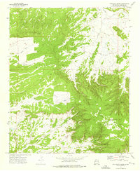
1972 · Cantaralo Spring
USGS Topo · 1:24,000
1972 · Ojo Caliente Reservoir
USGS Topo · 1:24,000
1972 · Venadito Camp
USGS Topo · 1:24,000
1977 · Ceadro Spring
USGS Topo · 1:24,000